3D Print Topo Maps

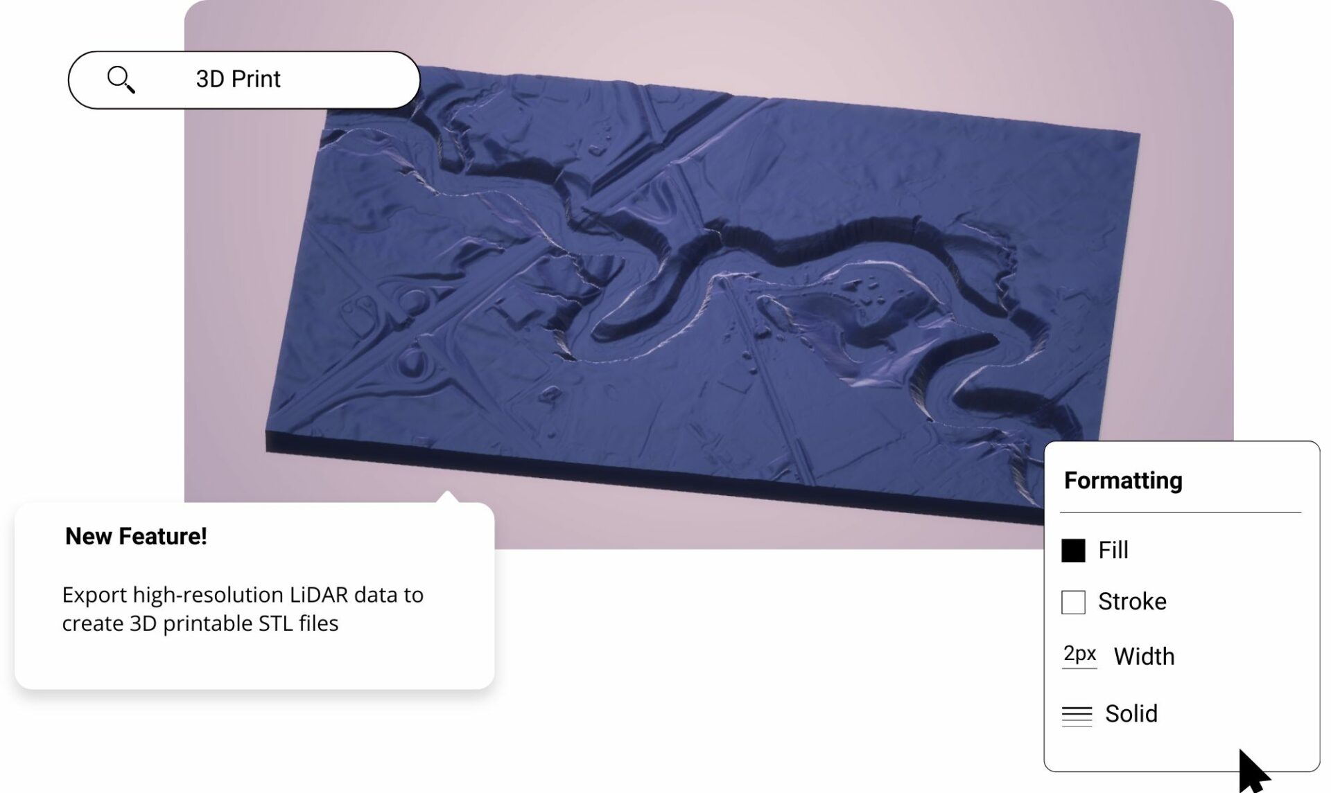
Create custom 3D topo maps for print from the most accurate elevation data online using Equator. Download map files in minutes.

3d print topo maps

Join other leading designers on Equator.

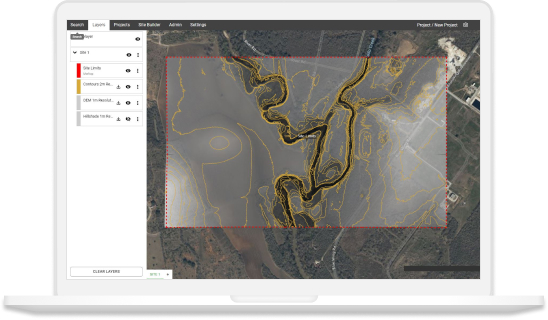
Equator Layers

What is Equator?

Equator is an online map-making software for civil engineers, architects, and designers. Equator includes thousands of built-in data sets, like LiDAR and DEMs and easy-to-use design and map making tools. Create accurate, professional maps in minutes!

Create a 3D printed topographic map in Equator

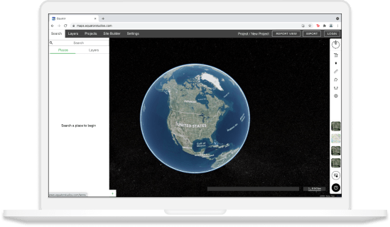
  • Navigate to your location of interest
  • Generate an STL file of the topography of your site
  • Download the STL file for your 3D topo map
  • Create your 3D printed topo map!
Equator GIS CAD Software Integrations

Integrate your map with other software

We’ve made it easy to integrate into your current workflow to get you up and running without friction.

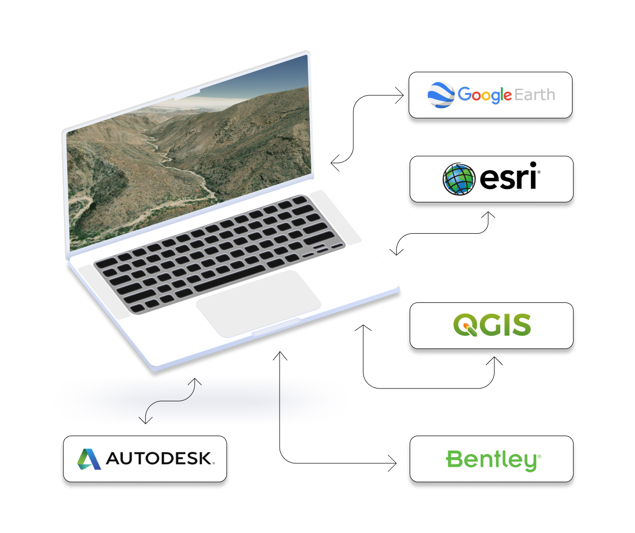
Equator supports popular GIS and CAD data formats, so map layers like LiDAR can be easily exported to Civil 3D, ArcGIS, Google Earth, or other platforms.
How to Get Started

Step 1

Open Equator, a map-making platform that works in your browser.

Step 2

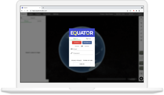
Create an account by signing up with your favorite email address.

Step 3

Use the built-in search engine and design tools to find elevation data and build your map.

Frequently Asked Questions

3D printed maps are created using a 3D printer. This type of printing is used to create three-dimensional objects from digital files. The results are often very accurate representations of the original design and can be a great tool for learning about geography, or for studying terrain features. There are many different applications for 3D printed maps, so engineers and students should definitely consider adding them to their toolkit!

We have a simple tutorial on How to print your own topographic maps and terrain, right here in the Equator site! https://equatorstudios.com/how-to-make-3d-printed-topographic-maps-and-terrains/ . Essentially, you’ll first need to identify or create a 3D model of the map print you want. One source for this is the Equator site builder. Once you have this model, you’ll need to find or create a printer file for it. Most 3D printers require this file in order to print your objet correctly. Finally, you’ll need to send the printer file to your printer and wait for it to finish printing.

Simply put, a 3D map offers a much more immersive experience. It allows you to see objects and landscapes from all angles, making it perfect for tasks like planning a city or navigating tricky terrain. Plus, with advances in virtual reality technology, soon we’ll be able to explore 3D maps in ways that were once impossible. So why not check out some of the amazing 3D map projects already out there? You might just be surprised at what’s possible!

3D printing is changing the map-making process, making it faster and more accurate. Engineers and students are using 3D printed maps to solve real-world problems. By printing out a physical map of an area, they can identify details that wouldn’t be possible on a screen. For example, they can see how buildings and other objects will obstruct signal lines or how the landscape will affect flooding. 3D printed maps are also being used in research projects, with scientists printing out detailed 3d maps before conducting certain experiments.