An Increase in Lidar Accuracy and what that means for Civil Engineers
The Ontario Digital Terrain model represents a gridded raster product (bare-earth terrain) originating from a classified Lidar point cloud. Often referred to as OMAFRA Lidar (or DTM), this Lidar data is hydro-flattened using water body breaklines. Hydro-flattened data means that any water surfaces you see on the model appear the same as they would in traditional topographic Digital Elevation Models (DEMs) created from photogrammetric digital terrain models.
Lidar data (light detection and ranging) is a remote-sensing technique that uses laser light to capture the surface of the earth, producing measurements within several centimetres of accuracy. This process creates mass point cloud datasets that can be managed, visualized, analyzed, and shared. Civil engineers commonly use this data for projects that include:
- Soil mapping
- Infrastructure assessment and development
- Forest modelling and management
- Land hazard/erosion mapping
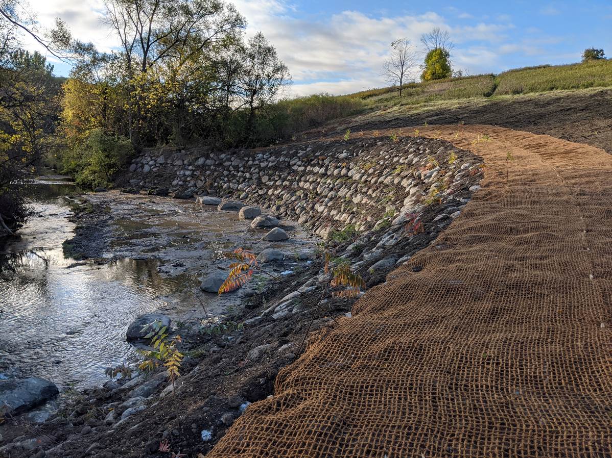
- Flood control

Photo by Nik Ramzi Nik Hassan on Unsplash
There are currently multiple data acquisition projects underway, including the Lidar Eastern Acquisition Project (also referred to as LEAP). The specifications in parameters, accuracy, and sensors vary by project. Figure 1 details the accuracy levels of areas in Ontario as described in the Ontario Specifications for Lidar Acquisition and Airborne Topographic Lidar data:

Figure 1
The resolution of the bare-earth data depends on a variety of factors during the acquisition project. Some factors that can affect the accuracy of airborne Lidar data are:
- The altitude of the plane (higher altitude can result in less accuracy)
- How the point cloud is processed
- The distance of the GNSS (Global Navigation Satellite System) base station to the Lidar system.
Our ability to acquire accurate and high-resolution aerial data is quickly improving from a vertical accuracy of 15cm in 2009, 10cm in 2014, to 5cm in the most recent collection in 2019. These improvements serve to help civil engineers more confidently assess their projects in the preliminary phases, and provide a better representation of their solution to their clients and stakeholders. Advancements in quality aerial data translates into time-saved for civil engineers, who can now source this information from a few clicks in a digital terrain model rather than relying on manual ground surveys for reliable data. Advancements in geospatial data quality and availability through Lidar acquisition propels civil engineering forward. Having the base data that is required for infrastructure development projects allows engineering teams to focus on designing innovative solutions rather than budgeting weeks of time for data collection.
References:
https://geohub.lio.gov.on.ca/datasets/776819a7a0de42f3b75e40527cc36a0a
https://www.sse.gov.on.ca/sites/MNR-PublicDocs/EN/CMID/LEAP-ClassifiedPointCloud-UserGuide.PDF