Join other leading designers on Equator

Data Hub
You need data. We’ve got it.
Using Equator’s Data Hub you can extract the data you need from our map or use our data search engine to find pre-existing datasets. Get the highest quality, highest resolution data available in any format your desire.
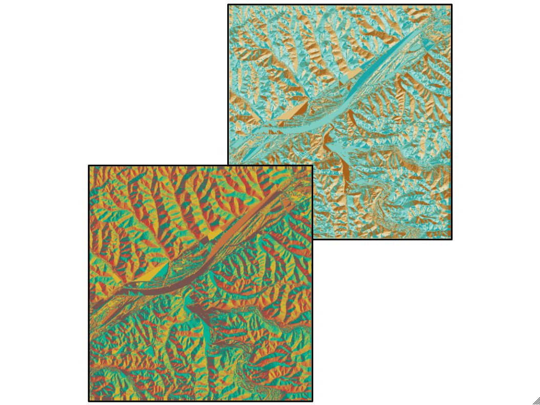
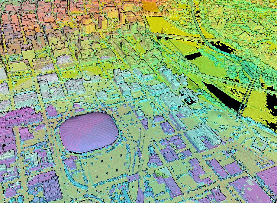
Virtual Surveyor
You don’t need to leave your desk to get the data you need. We’ve got you covered.
Equator’s Virtual Surveyor lets you get survey data without the hassle of paying a professional or going into the field. Access trillions of points to create the best LiDAR point clouds, contours, DEMs and more.
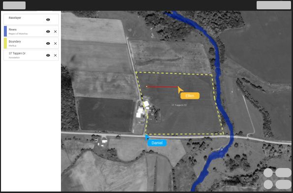
Collaborative Mapping Software
You can now work on a map with your team and share directly with your clients using Equator’s Collaborative Mapping Software. See collaborator’s cursors, load in data, do your analysis or present your work.

What will you make with Equator?
Click on your use case below to start building a custom deliverable right now.