Trusted by Over 300 Companies


How Does Equator Work?
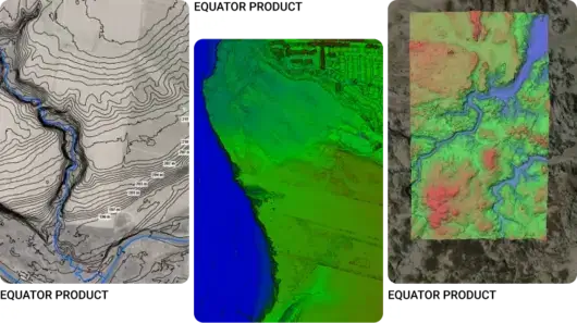
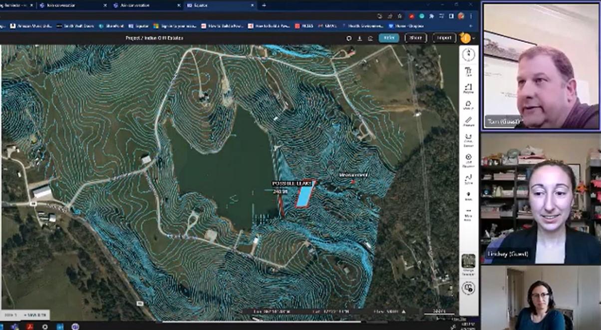
Equator consolidates the site data civil engineers and land developers need in one platform
Your new competitive advantage
Hundreds of government data portals to sift through. Missing information. Unusable file formats. Poor data accuracy.
These challenges make it difficult to leverage competitive insights to win proposals or get work done. Equator uses built-in GIS tooling, high resolution LiDAR, and AI insights to help your team understand the site in more detail, faster than ever before.

Win more projects
Showcase how well your team understands the project site with hundreds of land data sets easily accessed from one central portal.
Produce quality deliverables
Access centimeter-accurate LiDAR-derived topography to create quality CAD, GIS, and modeling deliverables.
Slash project timelines
View and download site data right from the kickoff in the file format you need! No more waiting for topo surveys.
Our Customers’ Results
↑ 3X Faster Deliverables
Read the case study
↓ 50% Less Costs
Read the case study
Our Mission
Building communities and infrastructure faster by empowering civil engineers with data, insights, and confidence.

Our Case Studies
Drainage: How Clint Speeds Up Drainage Assessments and Real Estate Decisions with Better Topo Data →
Real Estate: How Tom Accelerates Real Estate Development and saved $30,000 using Equator →
Disaster Relief: How Jose used Equator to dramatically speed up relief response after hurricane Fiona →
Proposals: How Abel cut his proposal costs and sped up his projects with Equator →
