
Remote Sensing Active Remote Sensing (LiDAR Point Cloud) of Loyalsock State Forest, Pennsylvania What is Remote Sensing and Why is
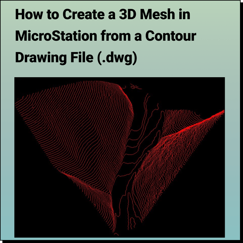
Tutorial: Creating a 3D Mesh from a Contour Drawing in Bentley MicroStation In this tutorial, learn how to create a 3D surface mesh in MicroStation
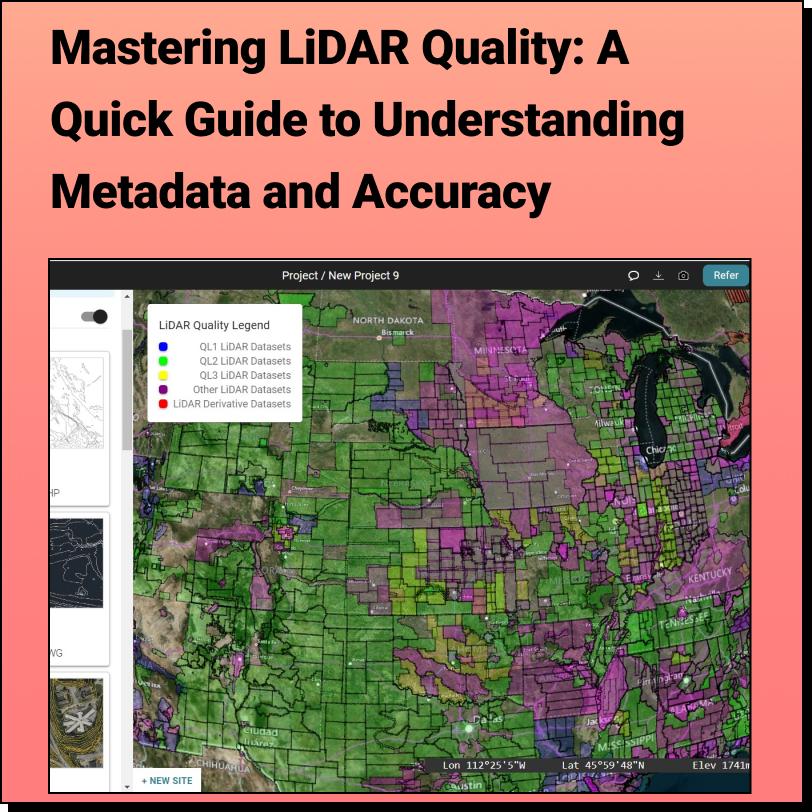
Discover the HIDDEN Accuracy of Your LiDAR Data Mastering LiDAR Quality: A Quick Guide to Understanding Metadata and Accuracy It all starts with
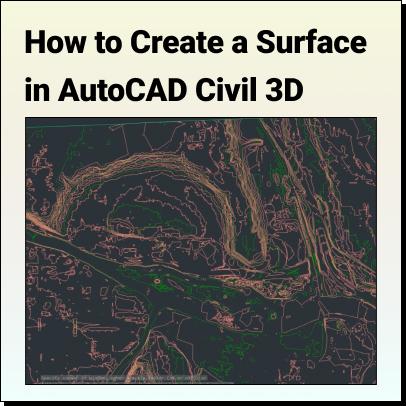
Tutorial: Create a Surface in Civil 3D Use Equator to source a Contour Drawing File (.dwg) that can easily be brought into AutoCAD Civil 3D
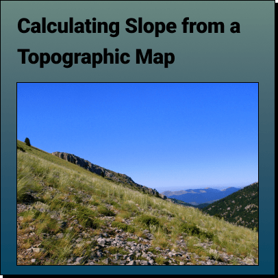
How to Calculate the Slope on a Topographic Map using Contour Lines Use Equator to Determine the Slope or Gradient on a Contour Map
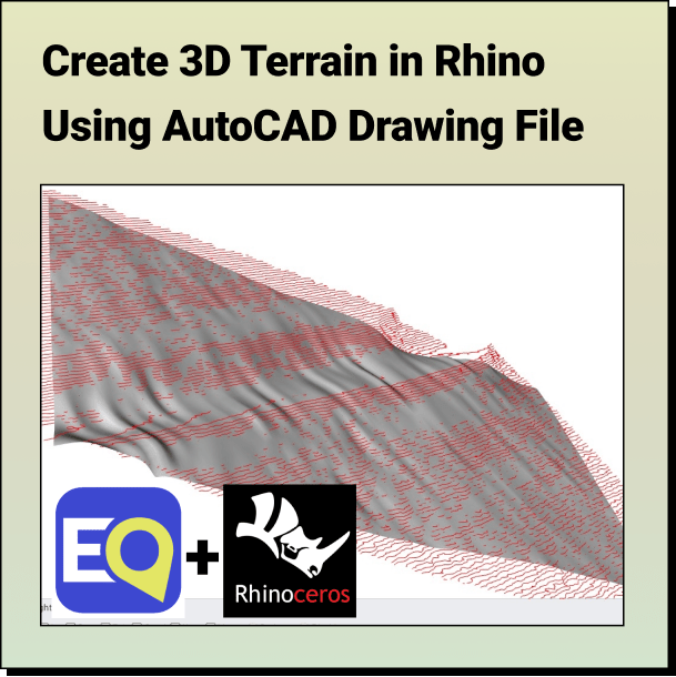
Tutorial: Create a 3D Terrain in Rhino From Contours Learn how to create a topographic surface using an AutoCAD Drawing File in 3 easy
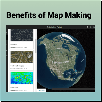
The Benefits of Map Making Maps have been an essential tool for humans throughout history. From ancient civilizations to modern times, map making has
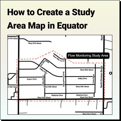
Tutorial: How to Create a Study Area Map Learn how to create a Study Area Map in Equator for Environmental Assessments, Urban Planning, or Market
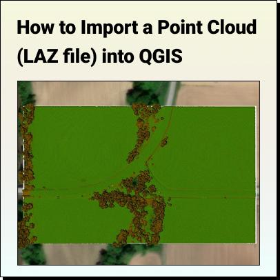
How to Import a LiDAR Point Cloud (.LAZ) into QGIS QGIS version 3.25 (released in 2021) and subsequent versions has a feature that allows
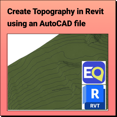
Create Topography in Revit Learn how to create a 3D Terrain in Revit using an AutoCAD (.dwg) file Background: What is Revit? Who
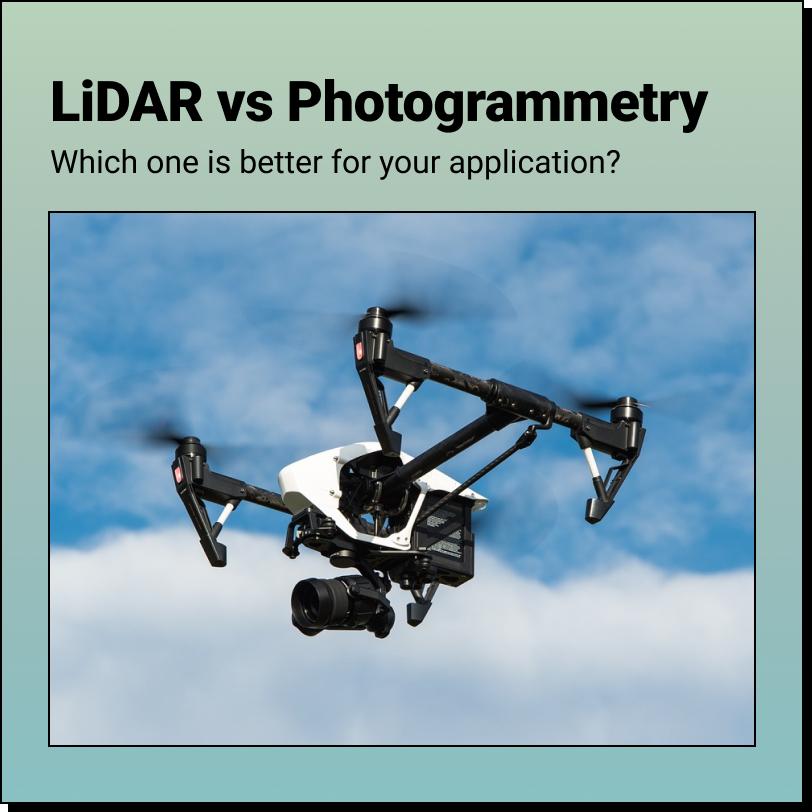
Drone LiDAR vs. Photogrammetry Which one is better? The answer to that depends on a few different factors - what is your project, what is
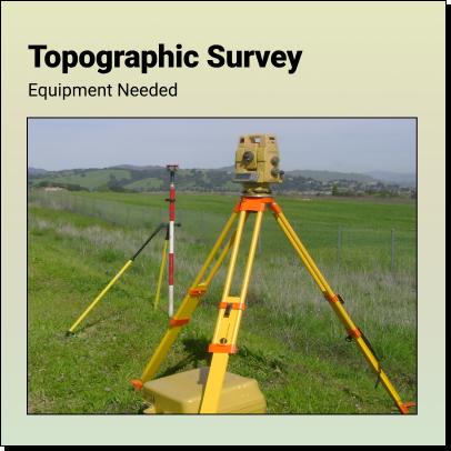
What Equipment is Required to Complete a Topographic Survey? A topographic survey involves collecting feature data for a plot of land, such as contours, elevations,
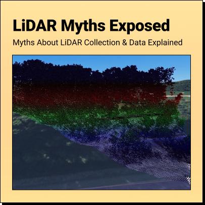
LiDAR Myths Exposed Six Common Myths and Misconceptions about LiDAR Collection and Data Explained Myth 1: More points are always better

Deep Learning in Spatial Applications and GIS Machine learning has long been an indispensable tool in the realm of spatial analysis within Geographic Information
Blog HomeEquator Students2024-01-03T15:28:05-05:00