Check out the latest tutorials from our passionate team of mapping experts
Have an idea for a tutorial we should add? Let us know!

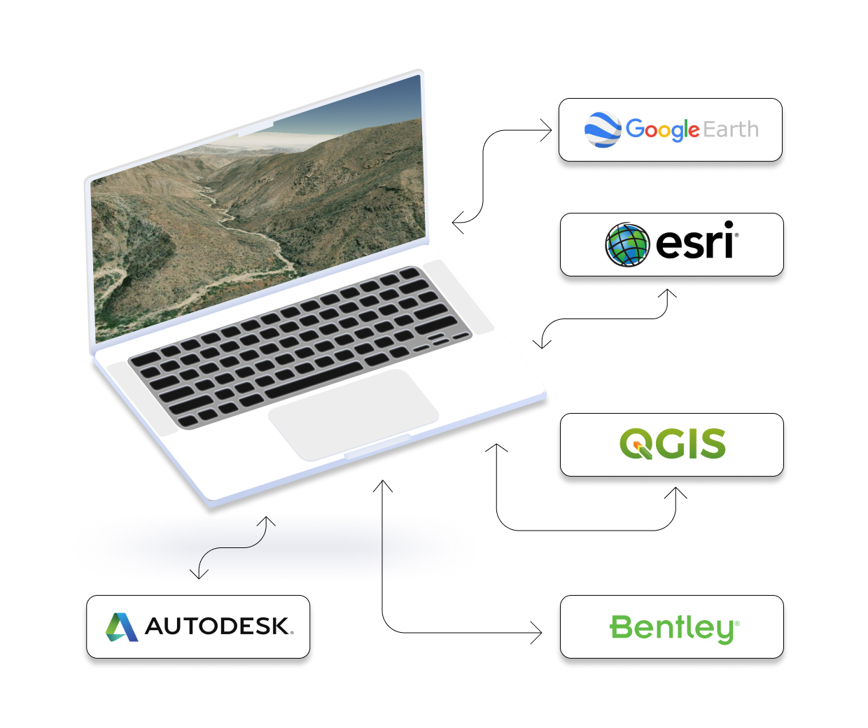
Get Topography for HEC RAS with Equator Create terrain in HEC RAS Software using high resolution elevation data from Equator. Download LiDAR data as a

Get Topography for Revit with Equator Create a 2D contours or 3D terrain in AutoDesk Revit Software using high resolution elevation data from Equator. Download
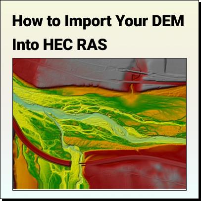
Tutorial: How to Import Your DEM Into HEC RAS Learn how to set your HEC RAS project up and bring your DEM into HEC RAS
The Top Free LiDAR (LAZ) Data Sources How To Find The Best Point Cloud Data! Our mission at Equator Studios is to help our
Get Topography for OpenFlows StormCAD Designer with Equator Create a 2D contours or 3D terrain in Bentley OpenFlows StormCAD Software using high resolution elevation data
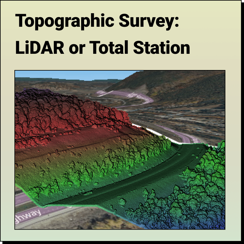
Topographic Surveys: LiDAR or Total Station? Most people think the only way to get an accurate topographic survey is through a total station; here’s why they

Remote Sensing Active Remote Sensing (LiDAR Point Cloud) of Loyalsock State Forest, Pennsylvania What is Remote Sensing and Why is

Get Topography for QGIS with Equator Create a 2D contours or 3D terrain in QGIS Software using high resolution elevation data from Equator. Download in
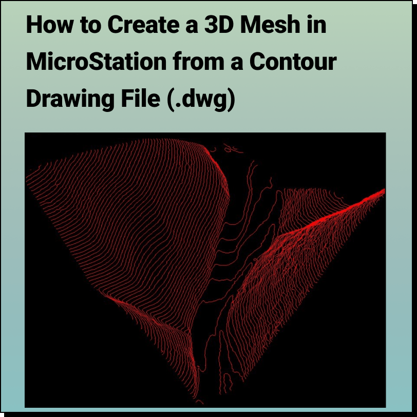
Tutorial: Creating a 3D Mesh from a Contour Drawing in Bentley MicroStation In this tutorial, learn how to create a 3D surface mesh in MicroStation
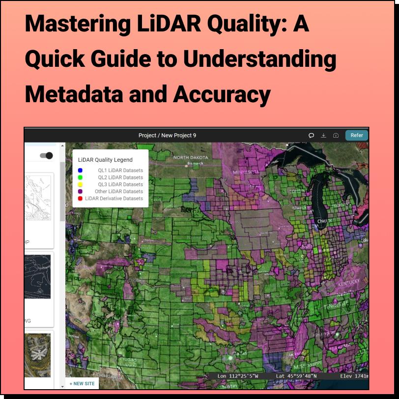
Discover the HIDDEN Accuracy of Your LiDAR Data Mastering LiDAR Quality: A Quick Guide to Understanding Metadata and Accuracy It all starts with
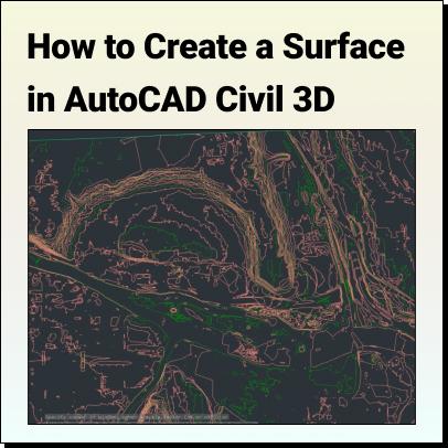
Tutorial: Create a Surface in Civil 3D Use Equator to source a Contour Drawing File (.dwg) that can easily be brought into AutoCAD Civil 3D
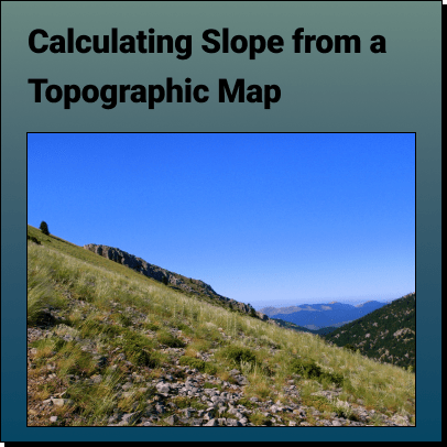
How to Calculate the Slope on a Topographic Map using Contour Lines Use Equator to Determine the Slope or Gradient on a Contour Map
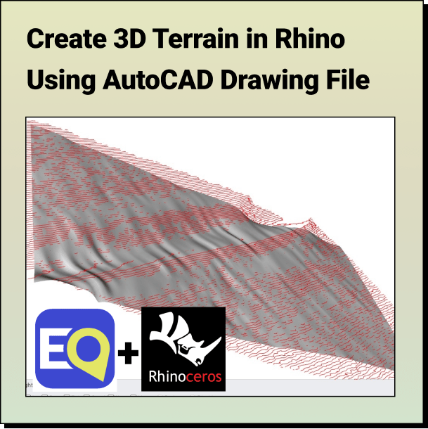
Tutorial: Create a 3D Terrain in Rhino From Contours Learn how to create a topographic surface using an AutoCAD Drawing File in 3 easy
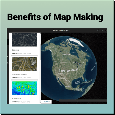
The Benefits of Map Making Maps have been an essential tool for humans throughout history. From ancient civilizations to modern times, map making has
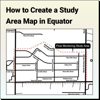
Tutorial: How to Create a Study Area Map Learn how to create a Study Area Map in Equator for Environmental Assessments, Urban Planning, or Market

Get Topography for OpenSite Designer with Equator Create a 2D contours or 3D terrain in OpenSite Designer Software using high resolution elevation data from Equator.