South Carolina topographic map Find, create, and share base plans from South Carolina topographic data faster than ever before! Try Free
Albuquerque Topographic Map The most detailed topographic map of Albuquerque. Locate, create and collaborate on high-resolution topographic maps using Equator. Open Map
Detroit Topographic Map The most detailed topographic map of Detroit. Locate, create and collaborate on high-resolution topographic maps using Equator. Open Map
Jacksonville Topographic Map The most detailed topographic map of Jacksonville. Find, create and share high-resolution topographic maps using Equator. Open Map
User Guide / Topography Menu Overview Site Builder (topography) menu overview This section is being
San Antonio Topographic Map The topographic map of San Antonio with the highest accuracy on the internet. Find, create and share high-resolution topographic maps using
Las Vegas Topographic Map The most detailed topographic map of Las Vegas on the internet. Find, create and share high-resolution topographic maps using Equator. Open

Fort Lauderdale Topographic Map The most detailed topographic map of Fort Lauderdale on the internet. Find, create and share high-resolution topographic maps using Equator. Open

Texas Topographic Map The most detailed topographic map of the State of Texas. Find, build and share high-resolution topographic maps using Equator. Try Now
User Guide / Source information Source information In this tutorial, we show you where to find

Equator is not a Kansas City Land Surveyor Equator autogenerates base plans from built-in, high-resolution airborne surveys. Open Map Step
User Guide / What is a Civil 3D surface (TIN versus Grid)? What is a Civil 3D surface
Kansas City Topographic Map The most detailed topographic map of Kansas City. Locate, create and collaborate on high-resolution topographic maps using Equator. View Map

USGS LiDAR Viewer Find, view and extract USGS LiDAR point cloud data instantly using Equator. Go to Viewer Who is

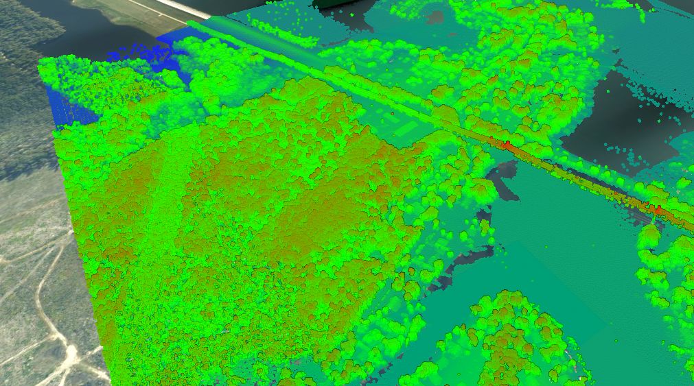
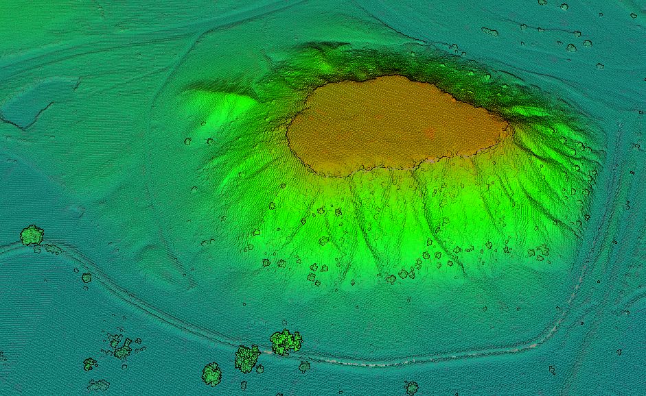
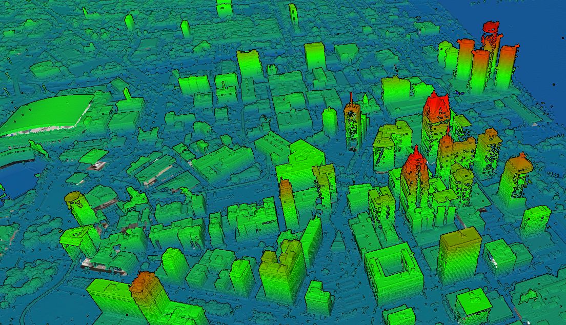
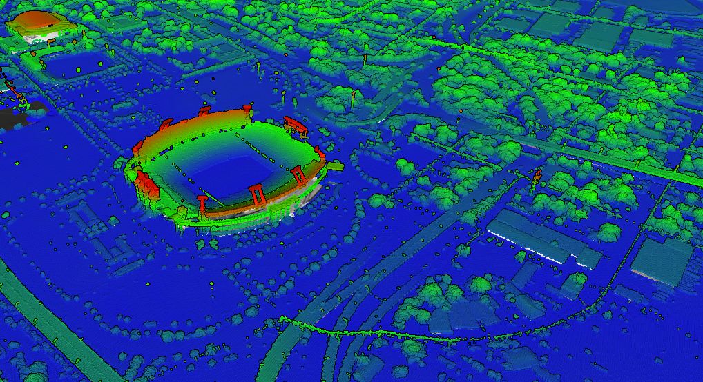
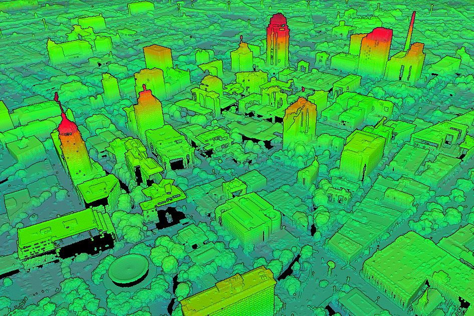
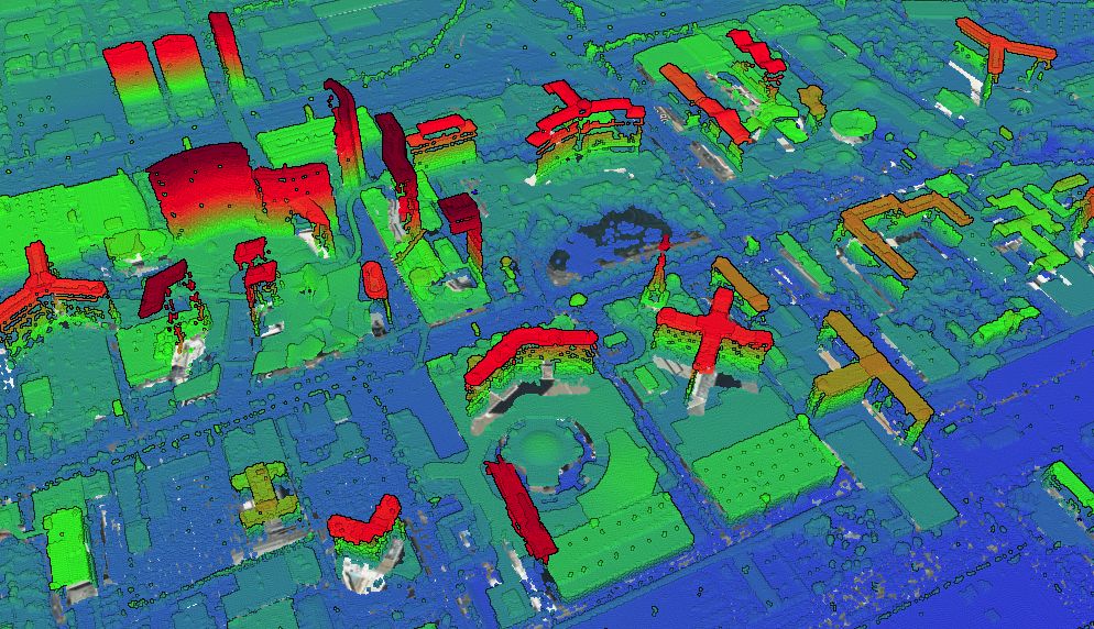
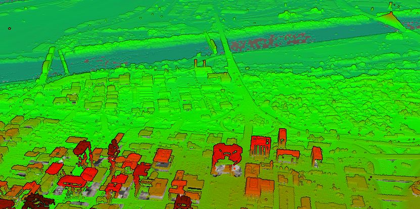
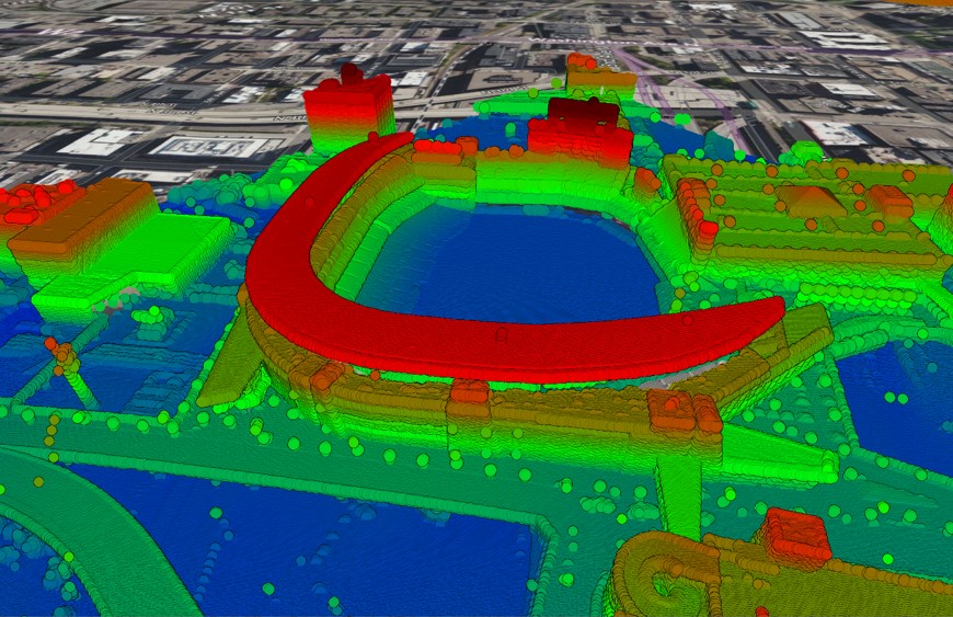
Gallery: USGS Point Cloud This post includes a gallery of images created in Equator from the USGS point cloud. Data Source: USGS Access in
Minneapolis Topographic Map The most detailed topographic map of Minneapolis, Minnesota. Locate, create and collaborate on high-resolution topographic maps using Equator. View Map
BlogRebecca Swabey2023-07-18T16:17:20-04:00