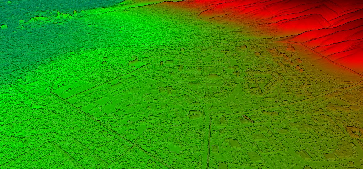
Salt Lake City Topographic Map The most detailed topographic map of Salt Lake City. Find, create and share high-resolution topographic maps using Equator. Open Map
Create base plans from the Mississippi topographic map Find, create, and share Mississippi topographic data faster than ever before! Open Map

Montreal LiDAR View, export, convert and share Montreal LiDAR using Equator in minutes. View Map Equator makes Montreal
Denver Topographic Map The most detailed topographic map of Denver, Colorado. Locate, create and collaborate on high-resolution topographic maps using Equator. View Map
User Guide / Data Menu Overview Data Menu (Topography) Overview This section includes an
User Guide / Source information Source information In this tutorial, we will show you how to
Austin Topographic Map The most detailed topographic map of Austin, Texas. Locate, create and collaborate on high-resolution topographic maps using Equator. View Map

Projected vs. Geographic Coordinate Systems Thought there was only one type of coordinate system? Think again. There are many different kinds that
User Guide / Sharing and collaborating with others Sharing and collaborating with others Coming
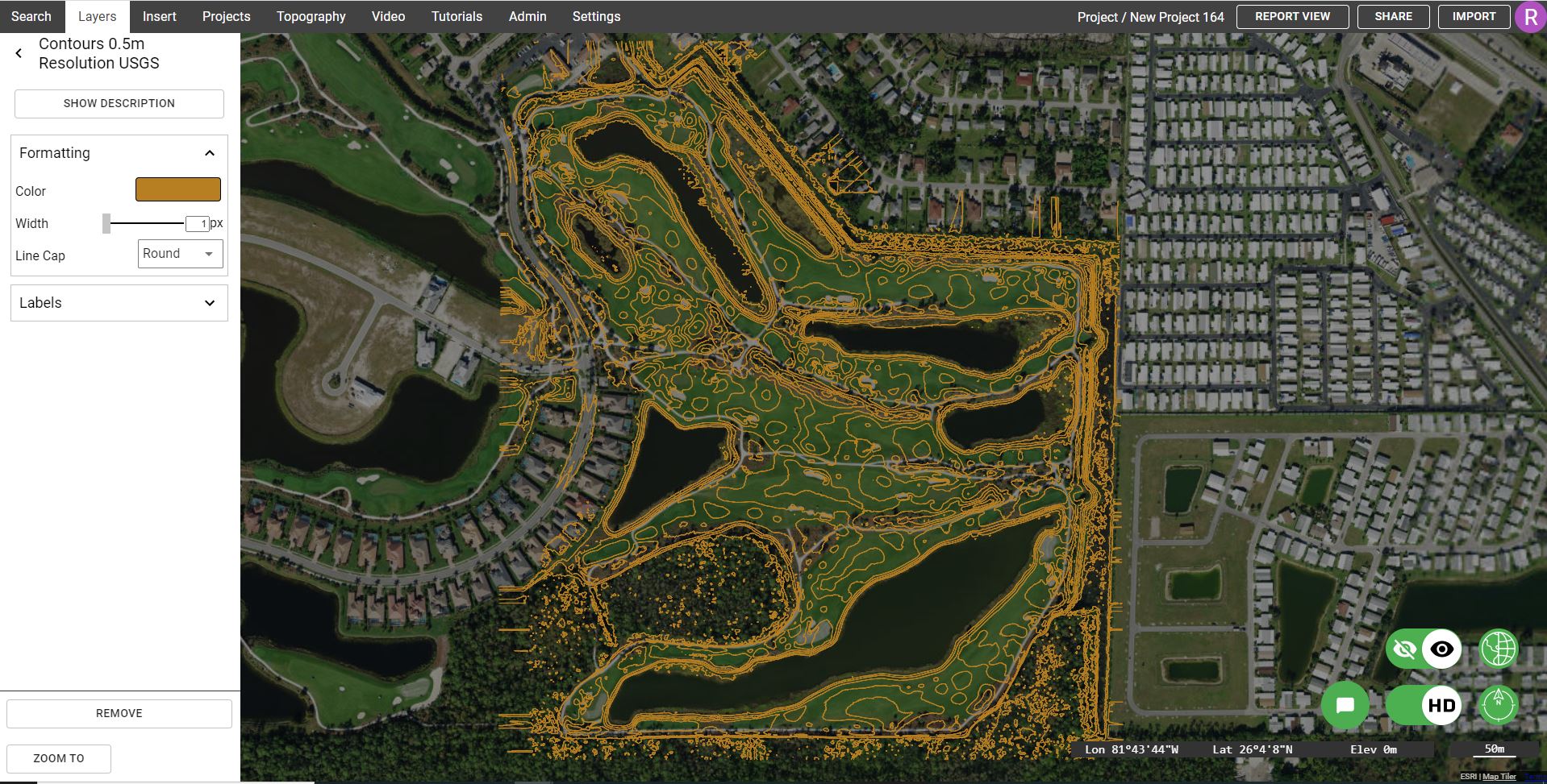
User Guide / Viewing data in Equator Viewing data in Equator This section is being updated.
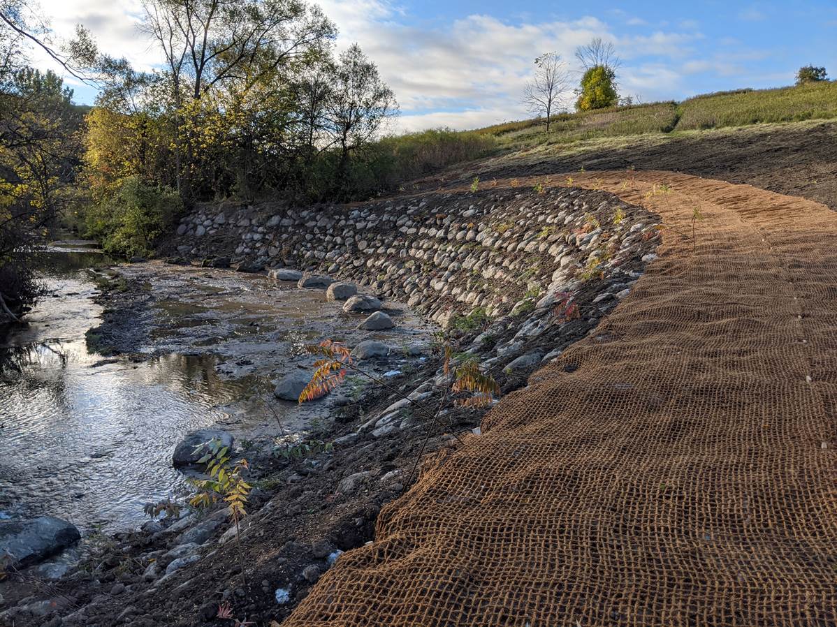
How Resilient Consulting uses Equator to source topographic data for water resources projects Overview Founded in 2018, Resilient Consulting delivers
Create base plans from the Kansas topographic map Find, create, and share Kansas topographic data faster than ever before! Open Map
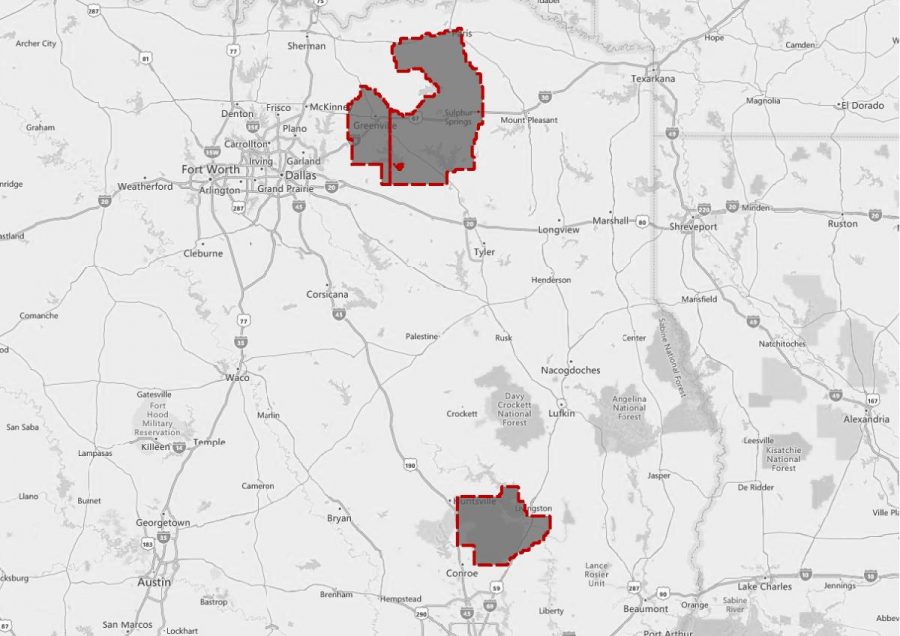
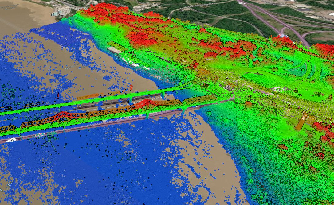
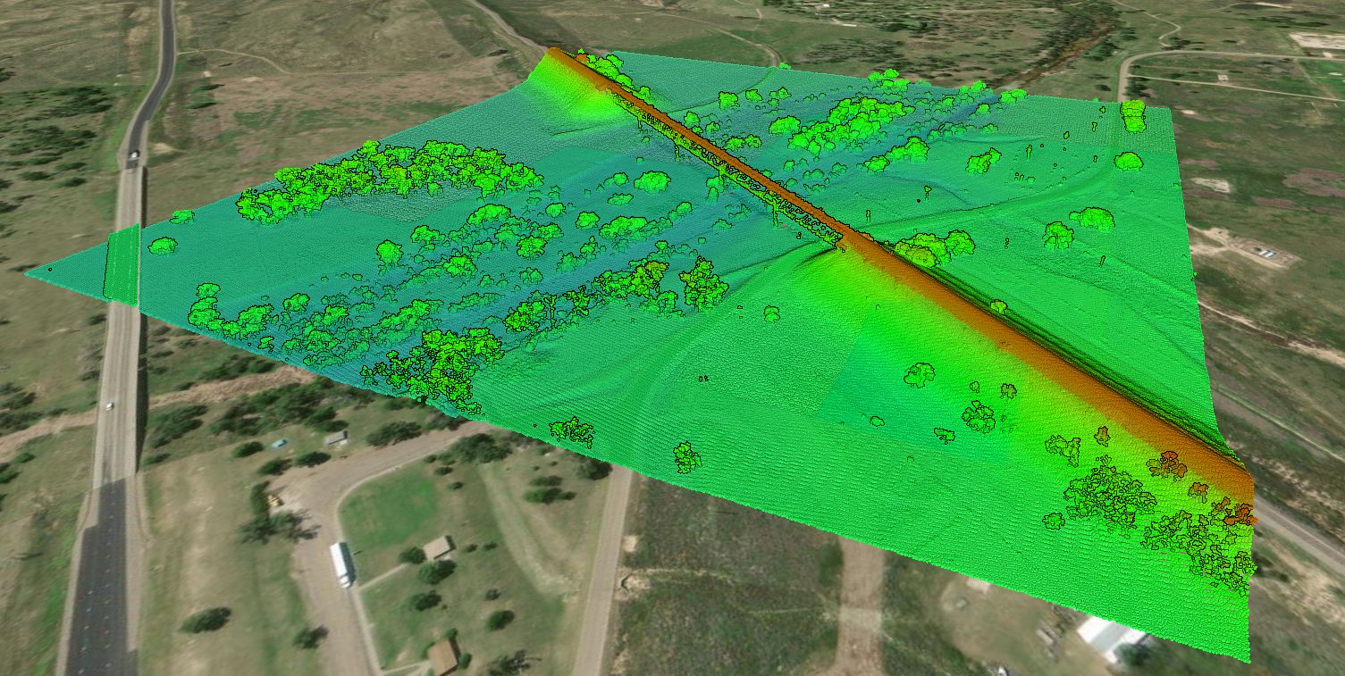
Texas East LiDAR Project The Texas East LiDAR project was completed for the Texas Water Development Board. Access the data in Equator by clicking below.
Instant base plans from the Florida topographic map Find, export, and share Florida topographic data faster than ever before! View Now
User Guide / Elevation Products Elevation Products In this tutorial, we describe the various elevation
BlogRebecca Swabey2023-07-18T16:17:20-04:00