Resilient Consulting Water Resources Case Study
Rebecca Swabey2024-03-25T11:08:16-04:00How Resilient Consulting uses Equator to source topographic data for water resources
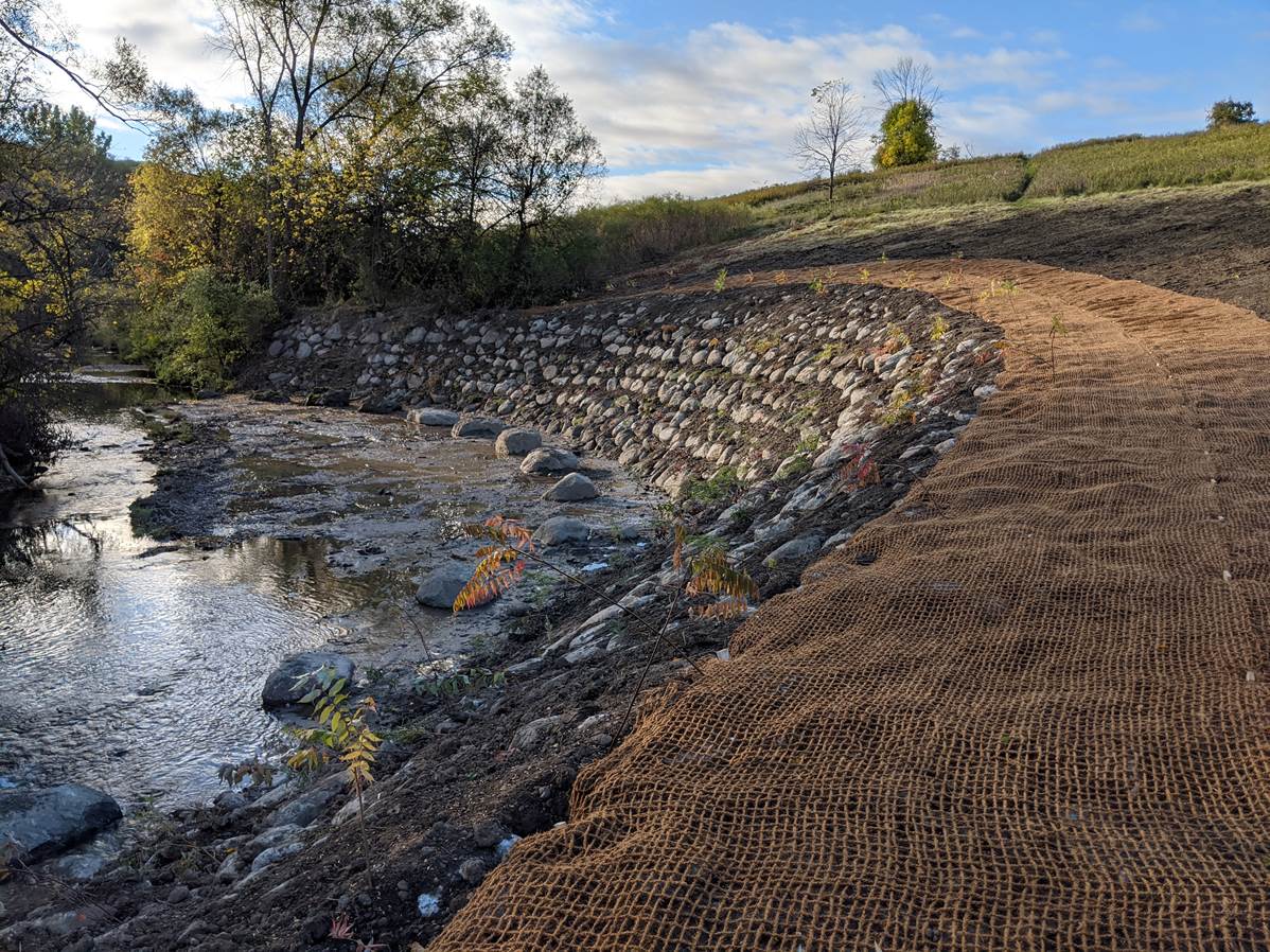
How Resilient Consulting uses Equator to source topographic data for water resources
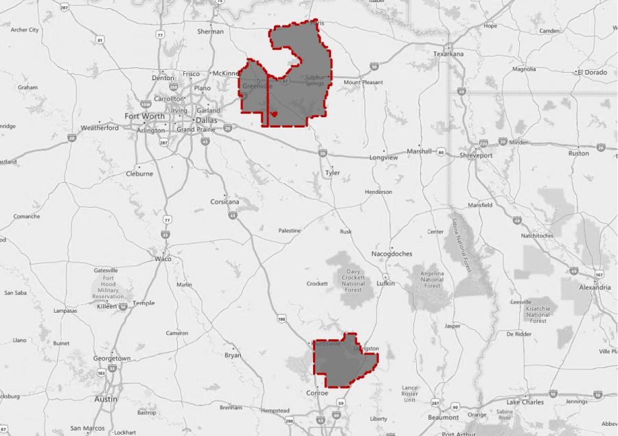
Texas East LiDAR Project The Texas East LiDAR project was completed for the
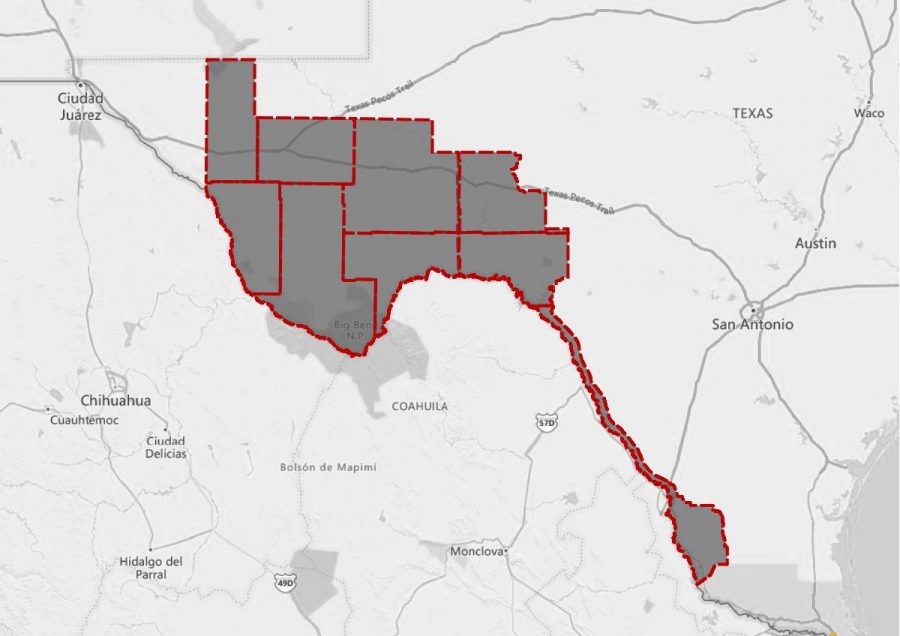
West Texas LiDAR Project The West Texas LiDAR project was completed for
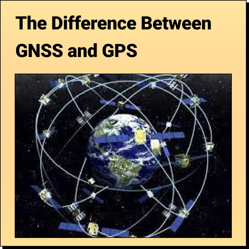
The Difference Between GNSS and GPS Most people are
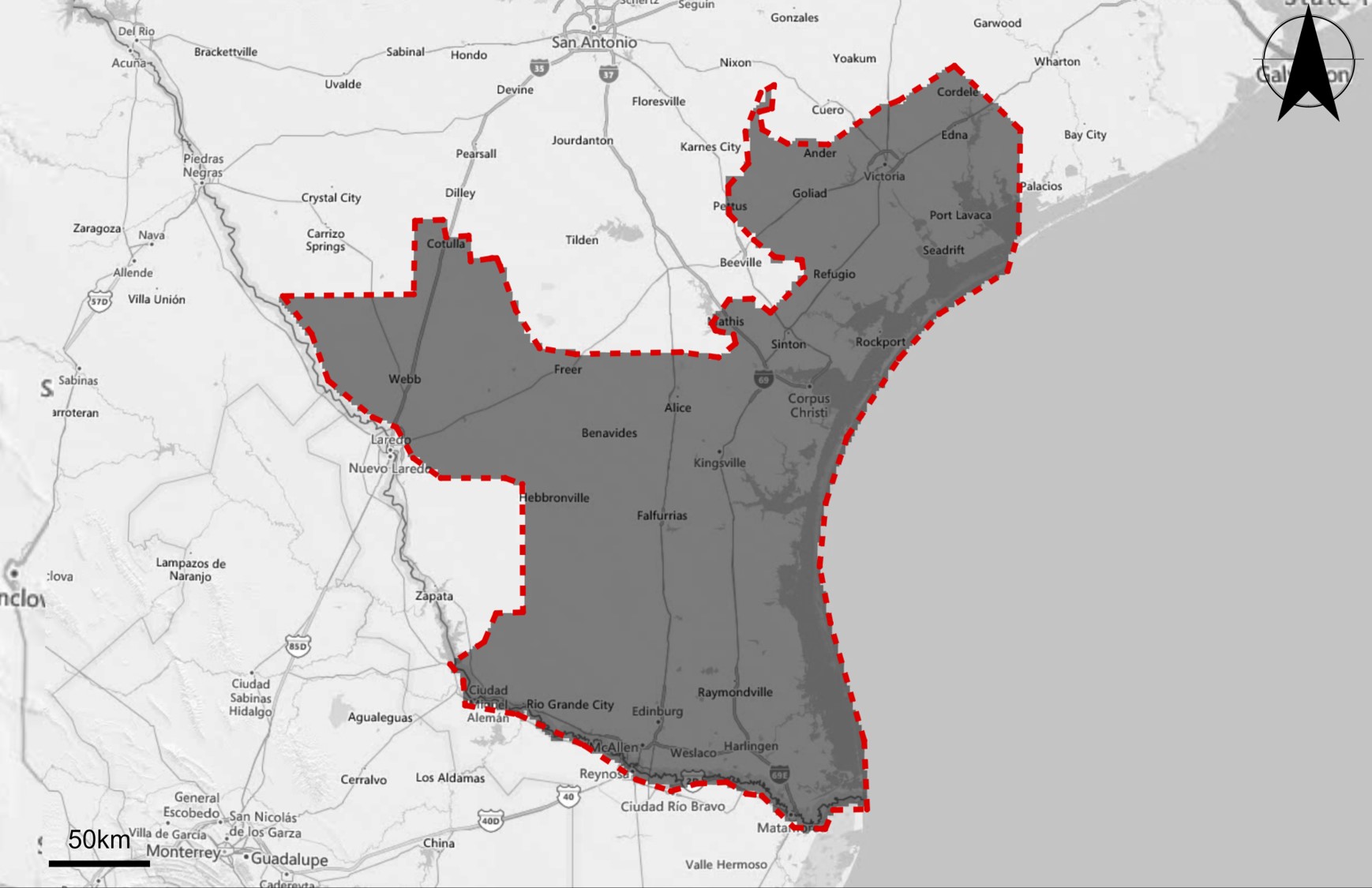
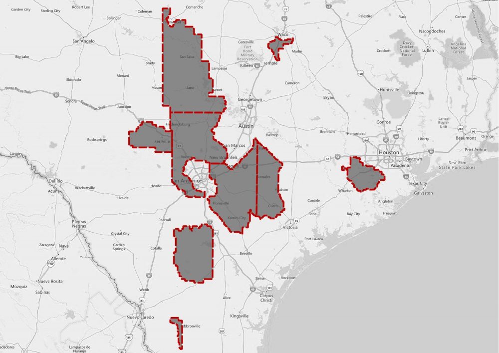
South Texas LiDAR Project This page includes a summary of the South Texas
BC Municipal Infrastructure Open Data Master List This article contains
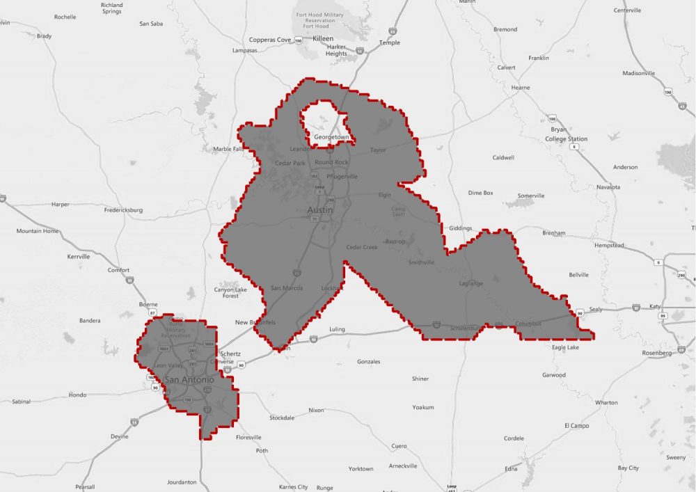
Texas Central LiDAR Project The Texas Central LiDAR Project covers San Antonio and
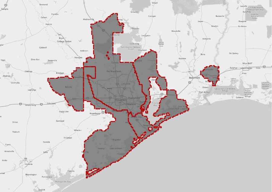
Texas Hurricane Harvey LiDAR Project This page includes a summary of the
Texas Coastal LiDAR Project This page includes a summary of the Texas
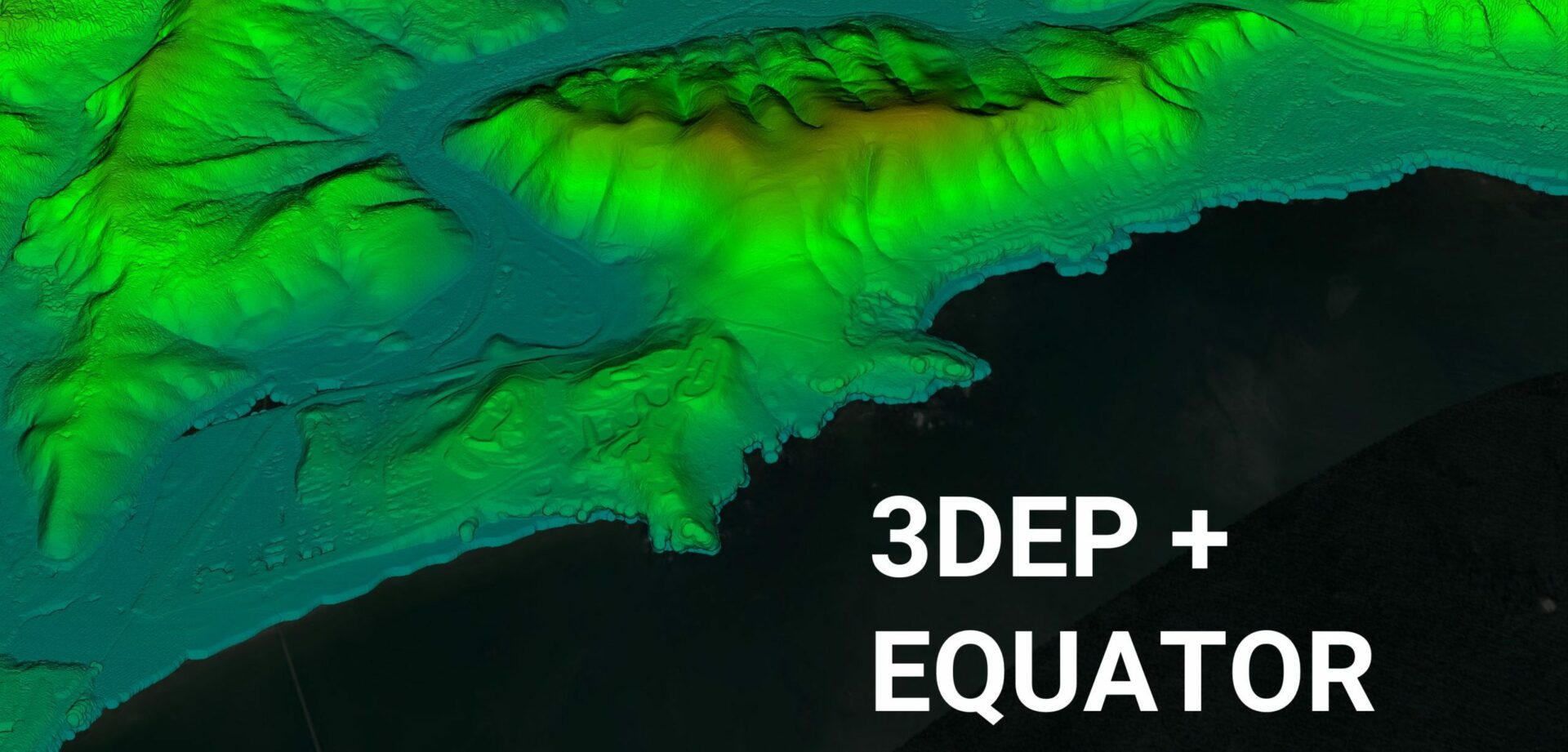
Equator Launches 3DEP High-Resolution USGS Topographic Maps Equator provides unprecedented access