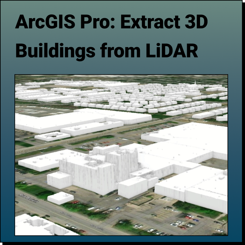
Extract 3D Buildings from LiDAR Data in ArcGIS Pro
Lindsay2024-03-25T05:16:17-04:00Extract 3D Buildings from LiDAR Data in ArcGIS Pro This Equator and ArcGIS Pro
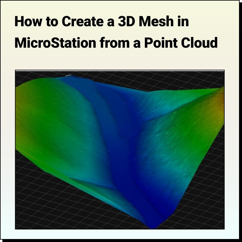
Creating a Mesh from Point Clouds in MicroStation
Lindsay2024-03-25T04:45:17-04:00Tutorial: Creating a 3D Mesh from a Point Cloud in Bentley MicroStation In
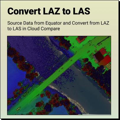
How to Convert LAZ to LAS
Lindsay2024-03-25T04:33:55-04:00Tutorial: How to Convert LAZ Files to LAS Files Definitions Source LAZ File
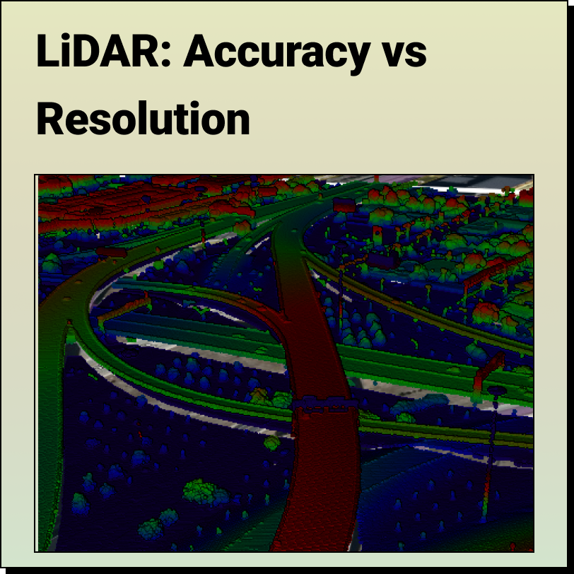
LiDAR – Accuracy vs. Resolution
Lindsay2024-03-25T04:22:55-04:00LiDAR - Accuracy vs. Precision Understanding the difference between LiDAR Accuracy and
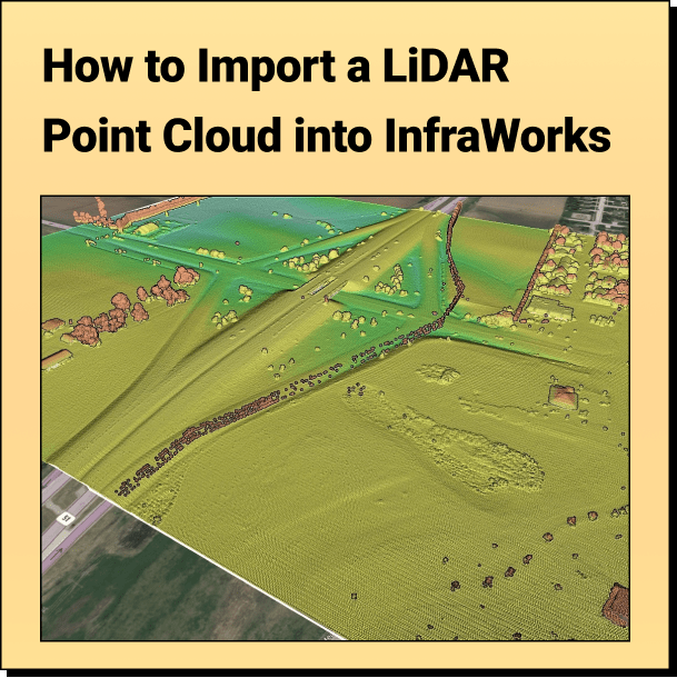
How to Import Your Point Cloud into InfraWorks
Lindsay2024-03-25T03:41:17-04:00Tutorial: Import Your Point Cloud into InfraWorks Learn how to bring your LiDAR
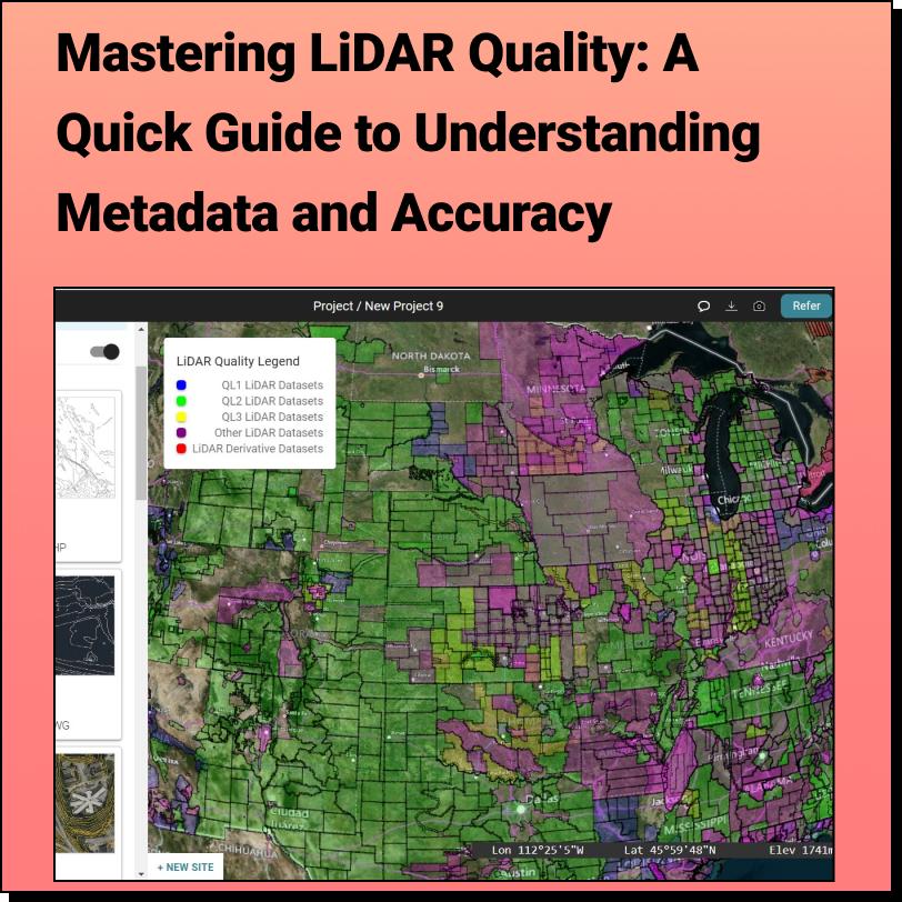
Discover the HIDDEN Accuracy of Your LiDAR Data
Lindsay2024-03-25T01:31:53-04:00Discover the HIDDEN Accuracy of Your LiDAR Data Mastering LiDAR Quality: A Quick
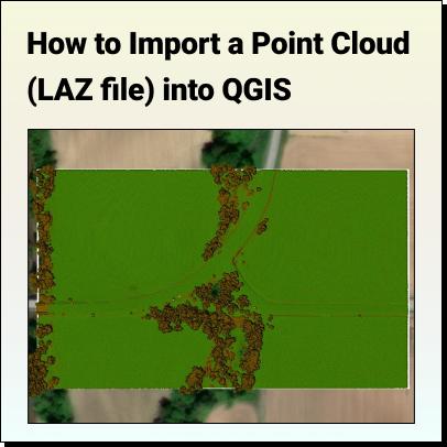
How to Import a Point Cloud into QGIS
Lindsay2024-03-24T23:46:16-04:00How to Import a LiDAR Point Cloud (.LAZ) into QGIS QGIS version
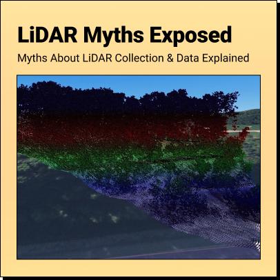
LiDAR Myths
Lindsay2024-03-24T20:58:56-04:00LiDAR Myths Exposed Six Common Myths and Misconceptions about LiDAR Collection and Data
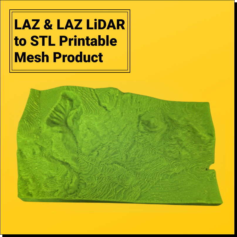
LiDAR (LAS/LAZ) to 3D printable STL model
Patrick Sapinski2024-03-24T16:16:03-04:00LiDAR (LAS/LAZ) to 3D printable STL model Want to convert LiDAR point clouds