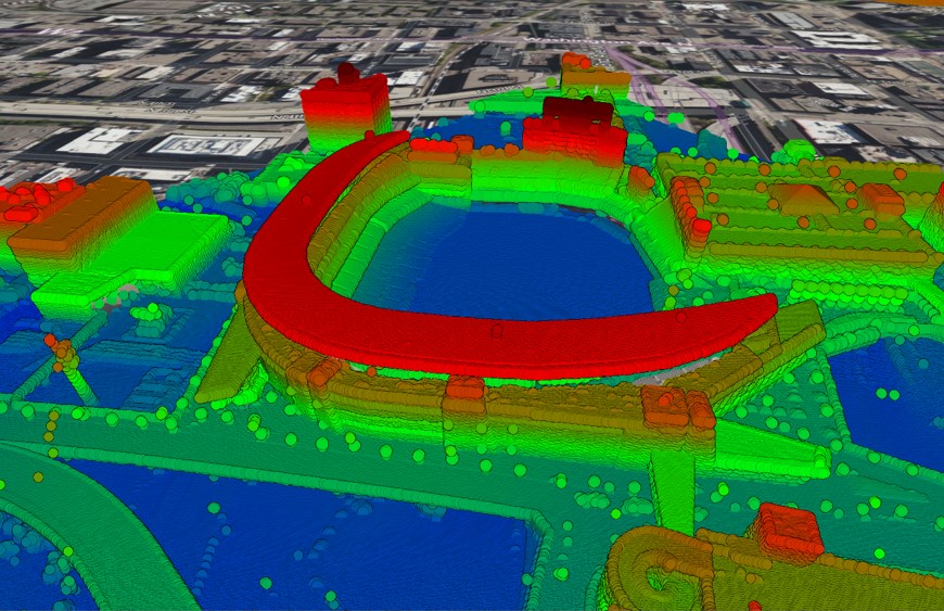
Kansas City Topographic Map: view and extract detailed topo data
RJ2024-03-25T13:44:56-04:00Kansas City Topographic Map The most detailed topographic map of Kansas City. Locate,
Kansas City Topographic Map The most detailed topographic map of Kansas City. Locate,
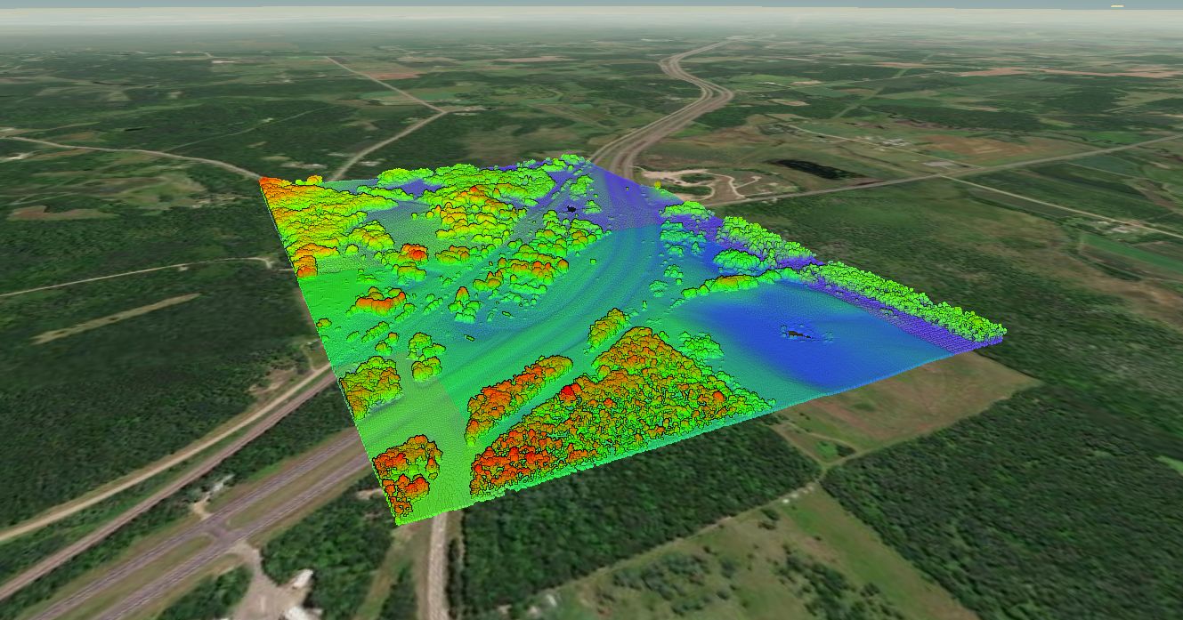
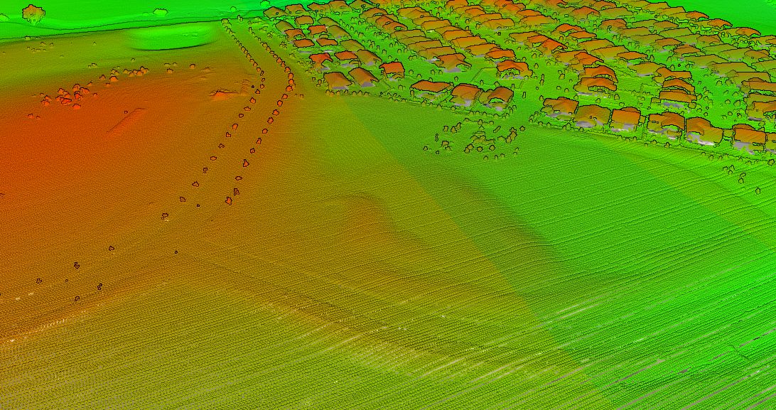
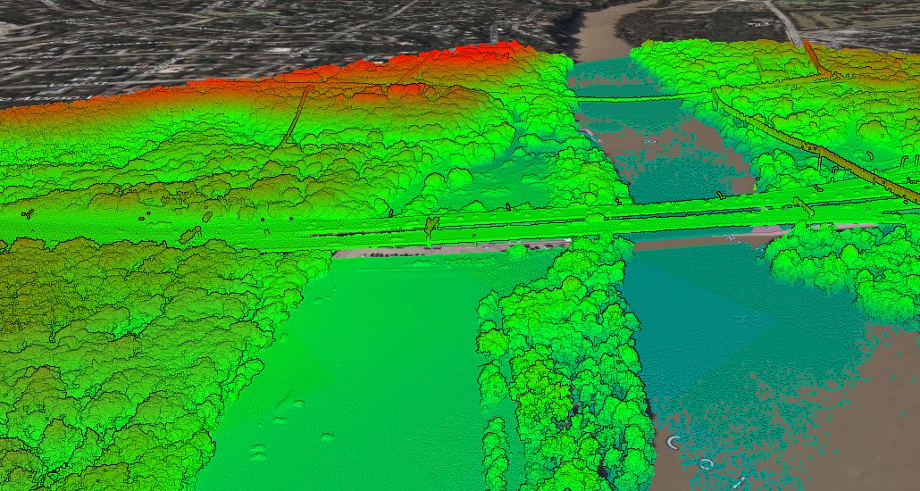
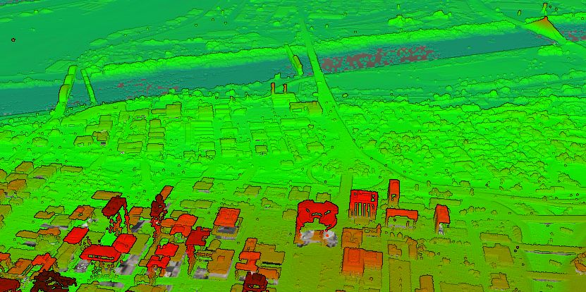
USGS LiDAR Viewer Find, view and extract USGS LiDAR point cloud data instantly using
Gallery: USGS Point Cloud This post includes a gallery of images created
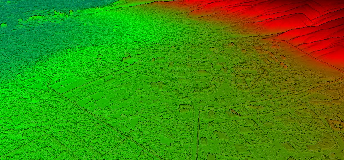
Minneapolis Topographic Map The most detailed topographic map of Minneapolis, Minnesota. Locate,
Instant base plans from the Minnesota topographic map Find, export, and share Minnesota
Salt Lake City Topographic Map The most detailed topographic map of Salt Lake
Create base plans from the Mississippi topographic map Find, create, and share Mississippi
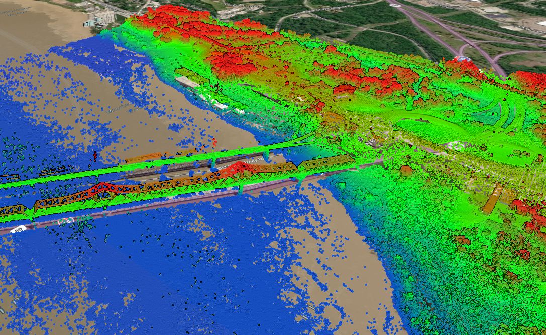
Montreal LiDAR View, export, convert and share Montreal LiDAR using Equator in
Denver Topographic Map The most detailed topographic map of Denver, Colorado. Locate, create
Austin Topographic Map The most detailed topographic map of Austin, Texas. Locate, create