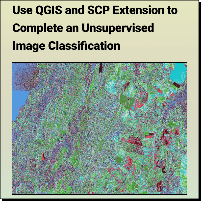
Unsupervised Image Classification with QGIS and SCP Extension
Lindsay2024-03-25T03:45:56-04:00How to Complete an: Unsupervised Image Classification with QGIS and SCP Extension
How to Complete an: Unsupervised Image Classification with QGIS and SCP Extension
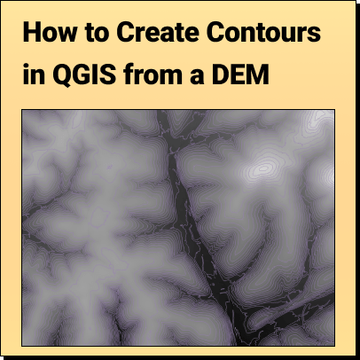
How to Create Contours in QGIS from a DEM: Download DEM file Open
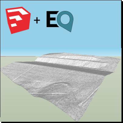
How to Make 3D Terrain in SketchUp using Topographic Data Create smooth, accurate
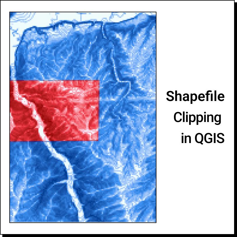
How to Clip a Shapefile in QGIS: Obtain a Shapefile Open Shapefile in QGIS
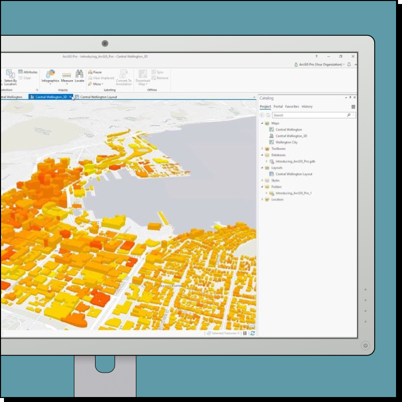
The Top 10 Alternatives to ArcGIS Find the best GIS platform for your
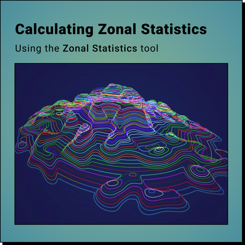
How to Calculate Zonal Statistics using DEMs and QGIS: Gather Data Calculate Zonal
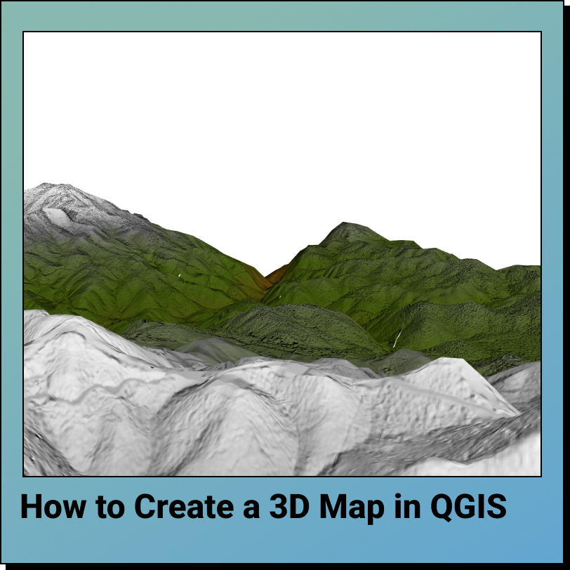
How to Create a 3D Map in QGIS in 5 Steps: Upload Data Generate
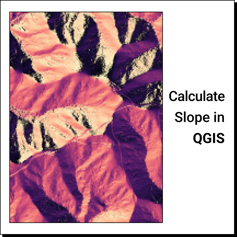
How to Calculate the Slope of a DEM in QGIS in 3 Easy Steps:
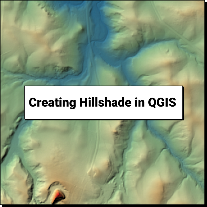
How to Create a Hillshade in QGIS: Upload DEM Data Generate a Hillshade Change
How to Create Contours in 3 Steps: Upload DEM Data Fill Sinks Generate