Creating a Mesh from Point Clouds in MicroStation
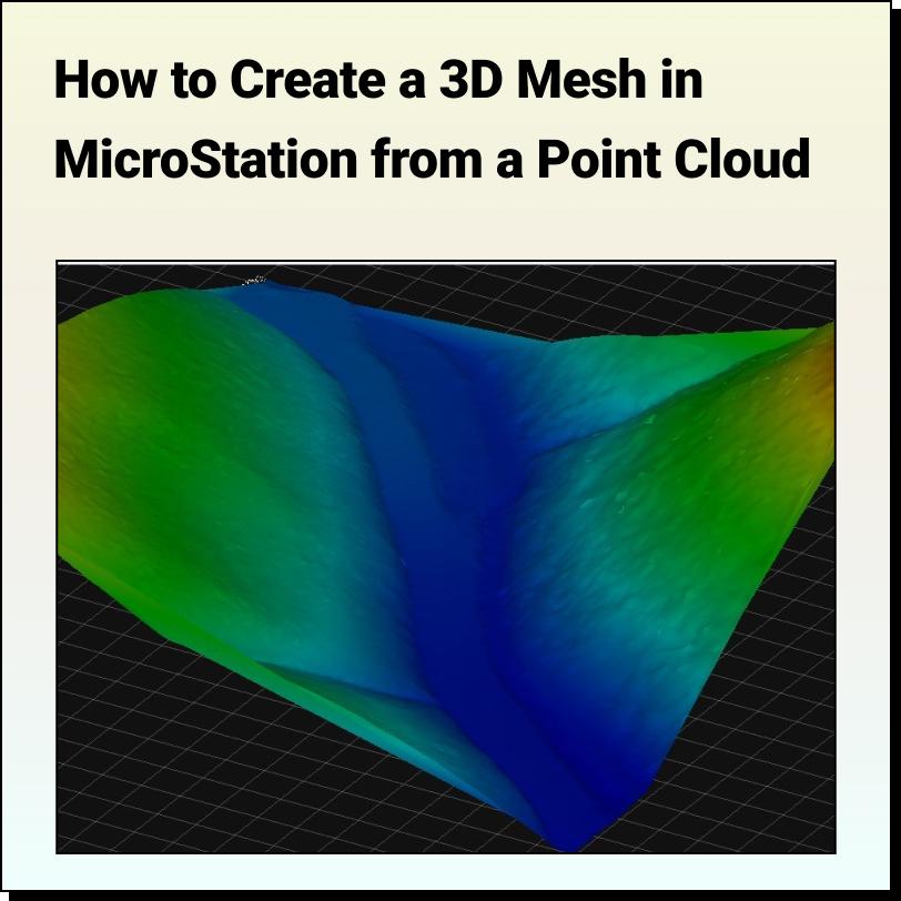
Lindsay2024-03-25T04:45:17-04:00Tutorial: Creating a 3D Mesh from a Point Cloud in Bentley MicroStation In
Tutorial: Creating a 3D Mesh from a Point Cloud in Bentley MicroStation In
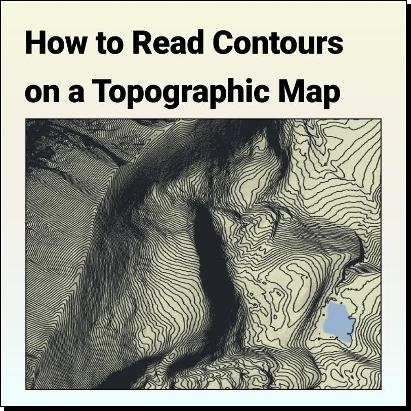
Features of a Topographic Map Topographic maps use contour lines to show different
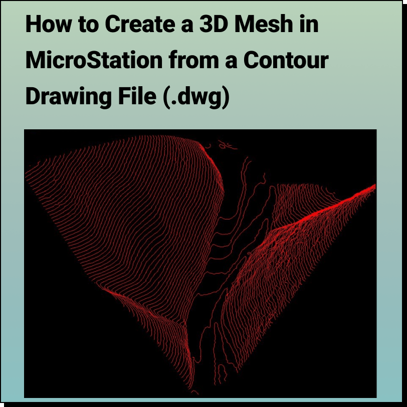
Tutorial: Creating a 3D Mesh from a Contour Drawing in Bentley MicroStation In
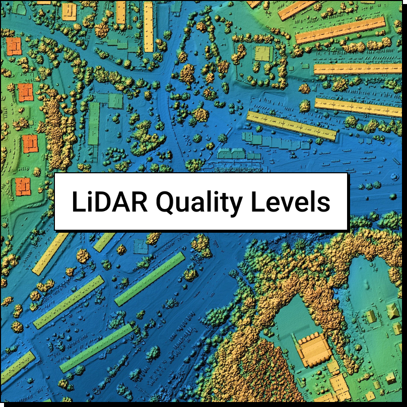
LiDAR Quality Levels What is LiDAR data? LiDAR is a radar
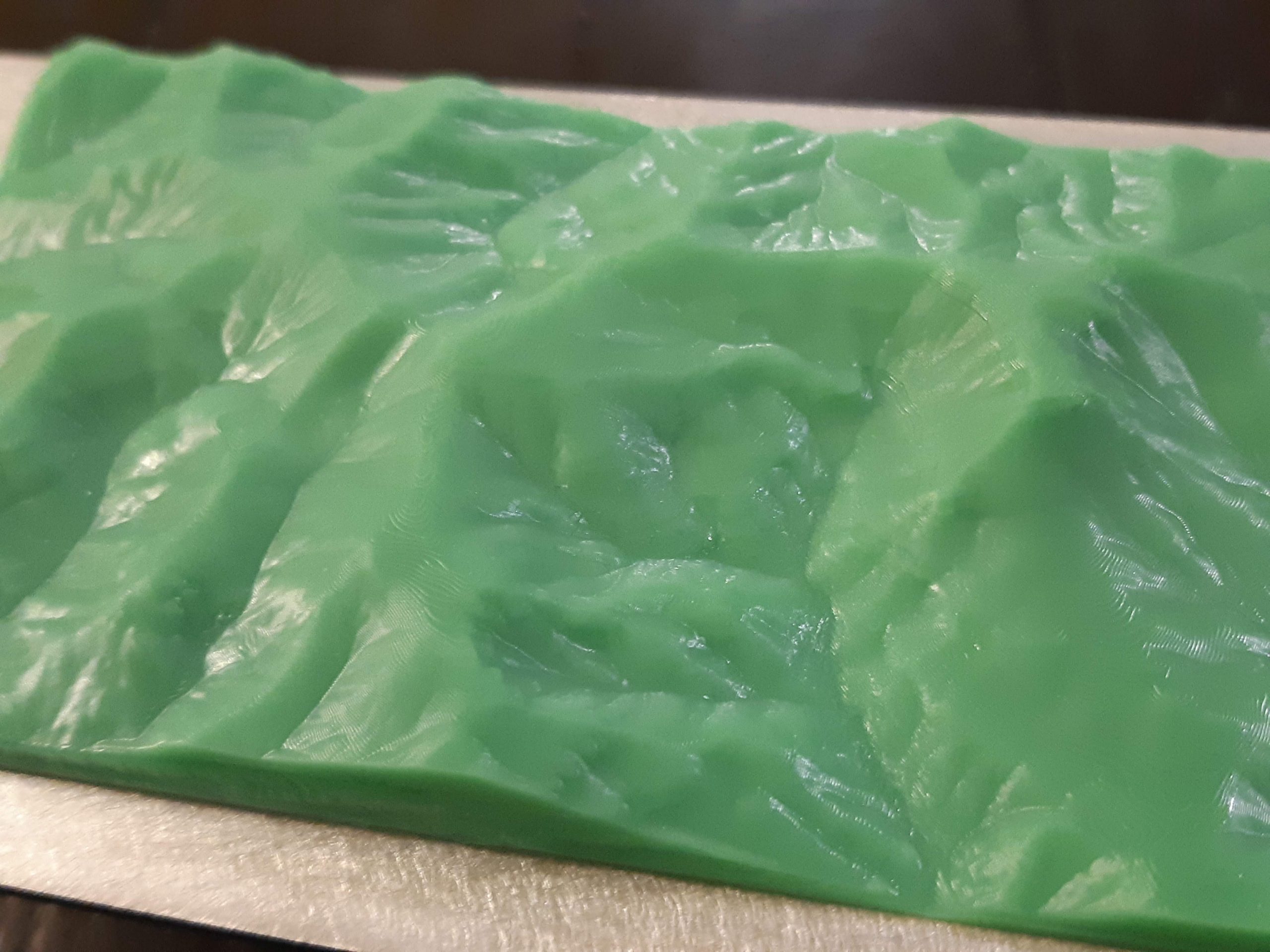
MAKE ANYTHING Making your own 3D printed topographic maps is easy with