How to Write a Civil Engineering Proposal
Lindsay2024-04-14T09:57:21-04:00How to Write a Civil Engineering Proposal This post will
How to Write a Civil Engineering Proposal This post will
Tutorial: Using Equator and ArcGIS Pro to Detect Objects Using Deep Learning
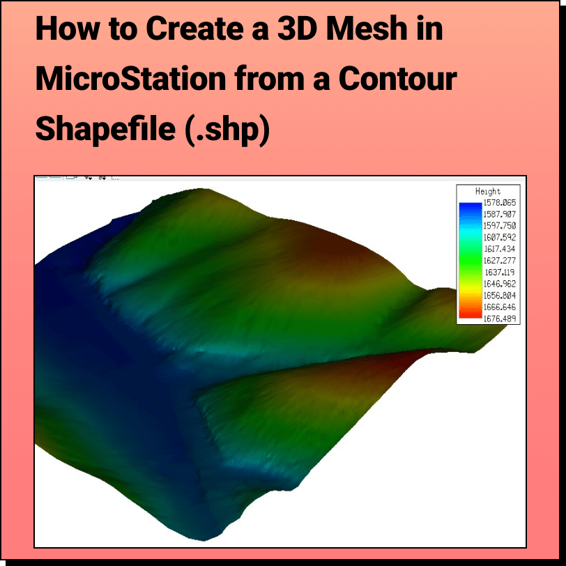
Tutorial: Creating a 3D Mesh from a Contour Shapefile in Bentley MicroStation In
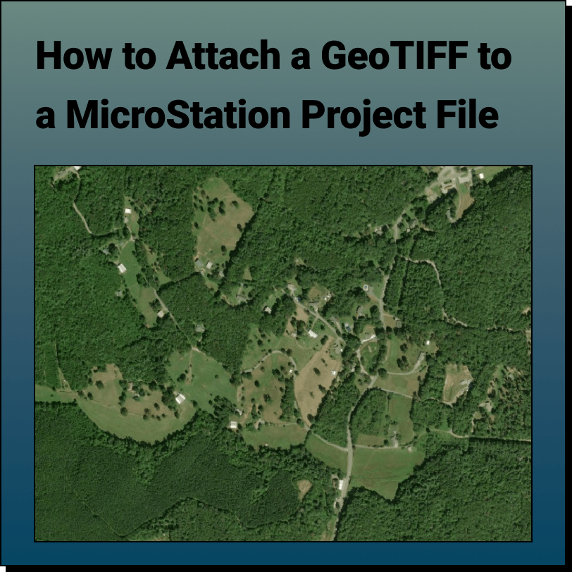
Tutorial: Attaching a RASTER (Orthoimage) to a MicroStation Project File In this tutorial,
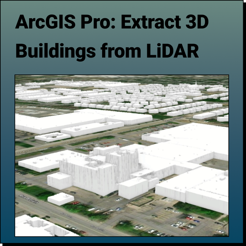
Extract 3D Buildings from LiDAR Data in ArcGIS Pro This Equator and ArcGIS Pro
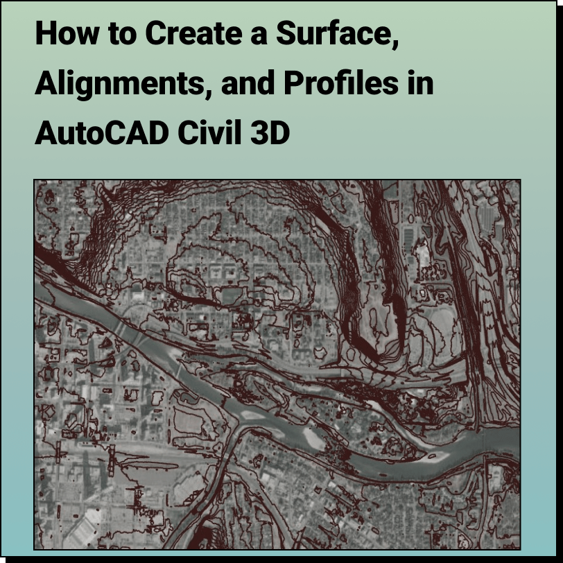
Create a Surface and Profiles Along the Surface in Civil 3D Use Equator
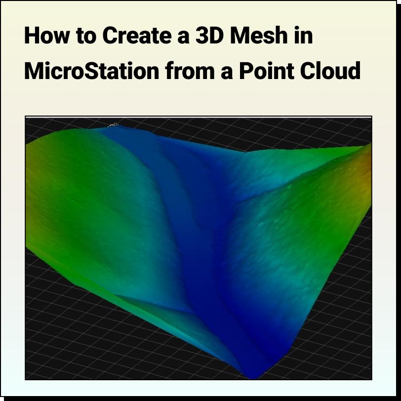
Tutorial: Creating a 3D Mesh from a Point Cloud in Bentley MicroStation In
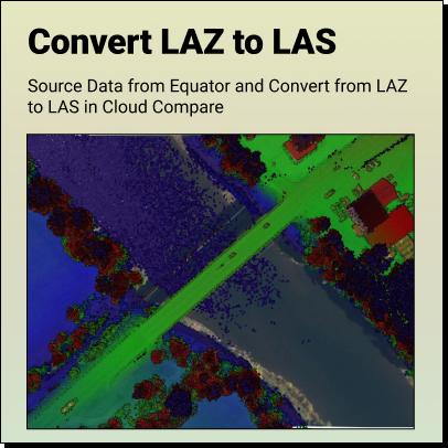
Tutorial: How to Convert LAZ Files to LAS Files Definitions Source LAZ File
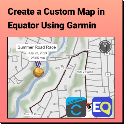
Tutorial: Export Data from Garmin Connect and Import it into Equator Learn how to
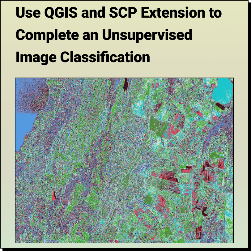
How to Complete an: Unsupervised Image Classification with QGIS and SCP Extension