Work Smarter, Not Harder

Civil Engineers use Equator to instantly access the best topography and GIS data online to save time, crush deadlines, and increase profits.

Join other civil engineers on Equator

Outcompete the competition with innovation

Competition is fierce in today's market for Civil Engineers. Businesses must be agile and innovative to stay ahead of the curve and meet the demands of customers. Equator can help with that.

Topographic survey data at your fingertips (no surveyor required)!

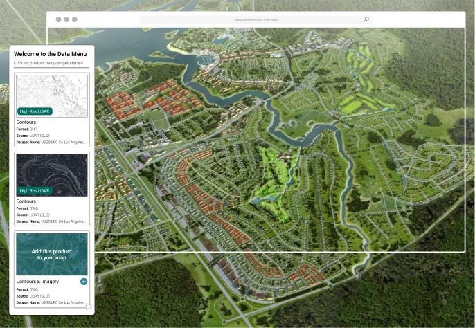
Save tens of thousands on surveys by taking advantage of new, high-resolution topographic data available online, in the Equator platform.

  • Find accurate elevation data for your project
  • Generate contours, DEMs and surfaces

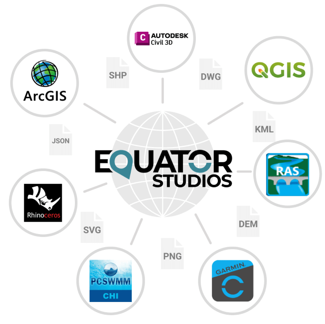
  • Download data for CAD

Discover the lay of the land and analyze GIS data like a pro

Boost capabilities and give your team a competitive edge with powerful, web-based GIS tools, in the Equator platform.

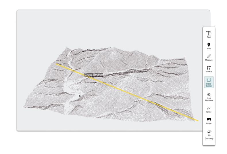
  • Instant cross sections and profiles

  • Slope and elevation insights
  • Easy map making tools

Slash project timelines with early access to better data

Meet project milestones by tapping into a centralized GIS data source for design and assessment, right from the kickoff!  Stop waiting weeks and months for GIS resources.

  • Central access to the GIS data you need
  • Download data in the correct coordinate system

  • Instantly view your site in vivid detail 

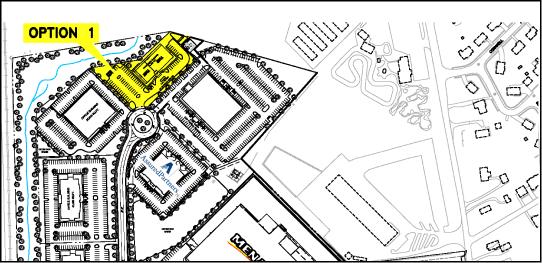
Learn How Tom Accelerates Real Estate Development and saved $30,000 using Equator

How To

Get Started as a Civil Engineer with Equator in 4 Easy Steps

Get data for civil engineering worflows:

  • Login or Signup for Equator

  • Create New Site

  • Add and Download Data as your preferred file type

  • Import Contours into CAD Software