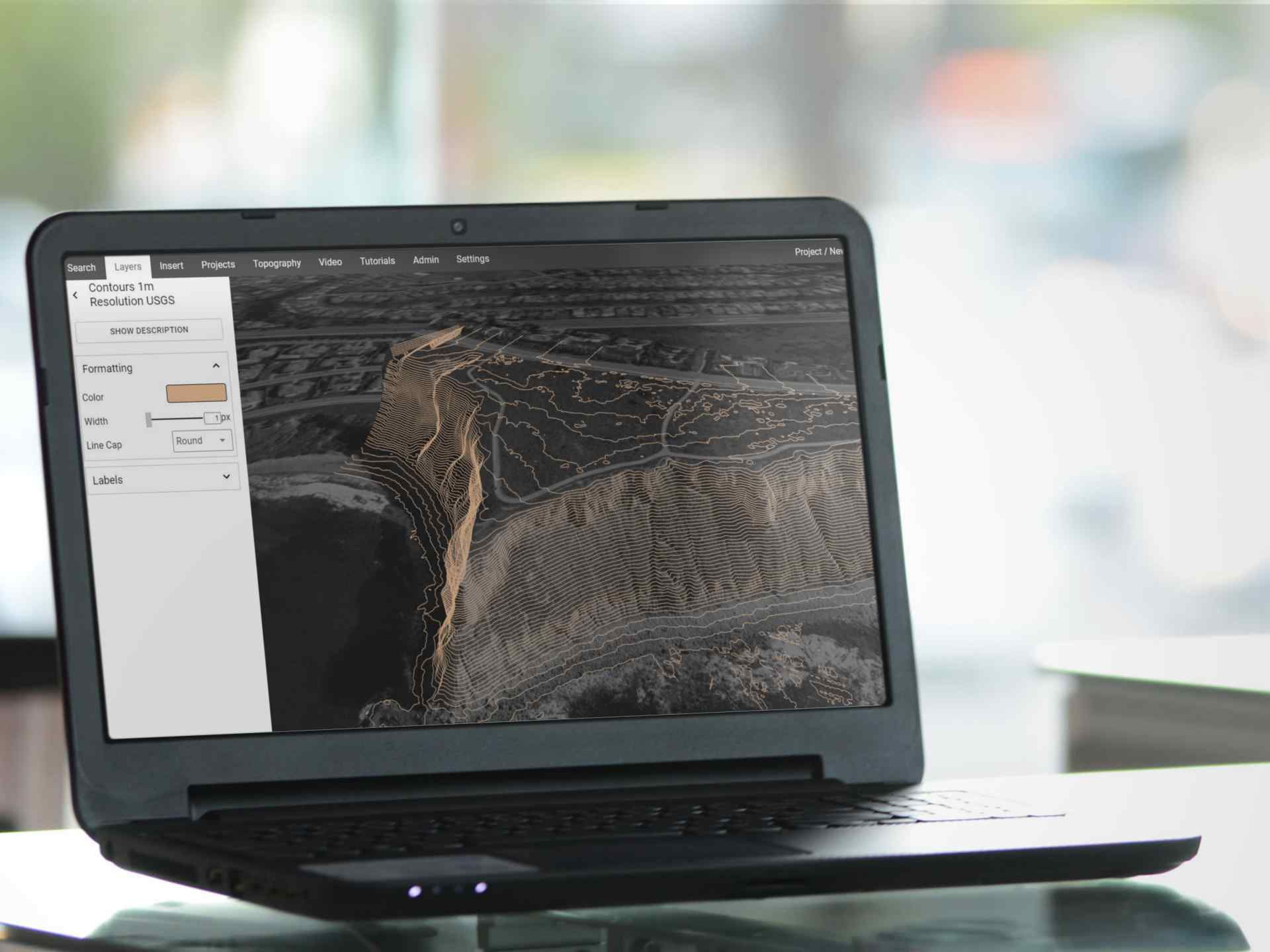
Generating contours on the fly
Using Equator, anyone can create contours instantly. Simply draw a polygon around your site, specify the contour interval and generate contours for your project faster than ever before! No surveyor required.
High-resolution elevation data
Contours are created from high-resolution elevation data. Equator includes built-in public LiDAR data sets for Canada and the United States. Creating contours from LiDAR means that you are starting with the best available data, sometimes accurate to a few centimeters! When you create contours in Equator, LiDAR data is processed on the fly into contours for your site.
Create contours in any interval
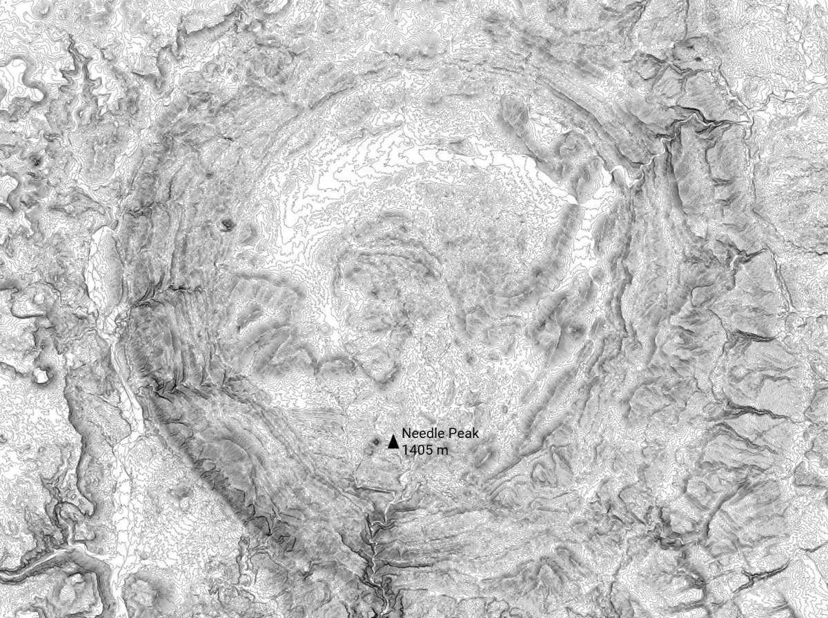
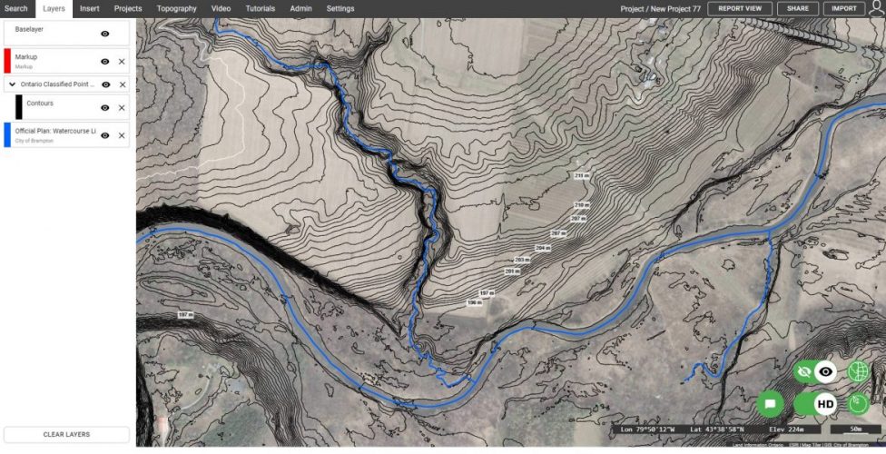
Contours can be generated in a range of intervals to meet the needs of the project. Select any contour interval from 0.3m (1 foot) up to 10m (33 feet). Whether you are working on the landscape design for a single lot, or studying the hydrology in an entire watershed, Equator provides the flexibility to meet a variety of needs.
Easily export contours for CAD
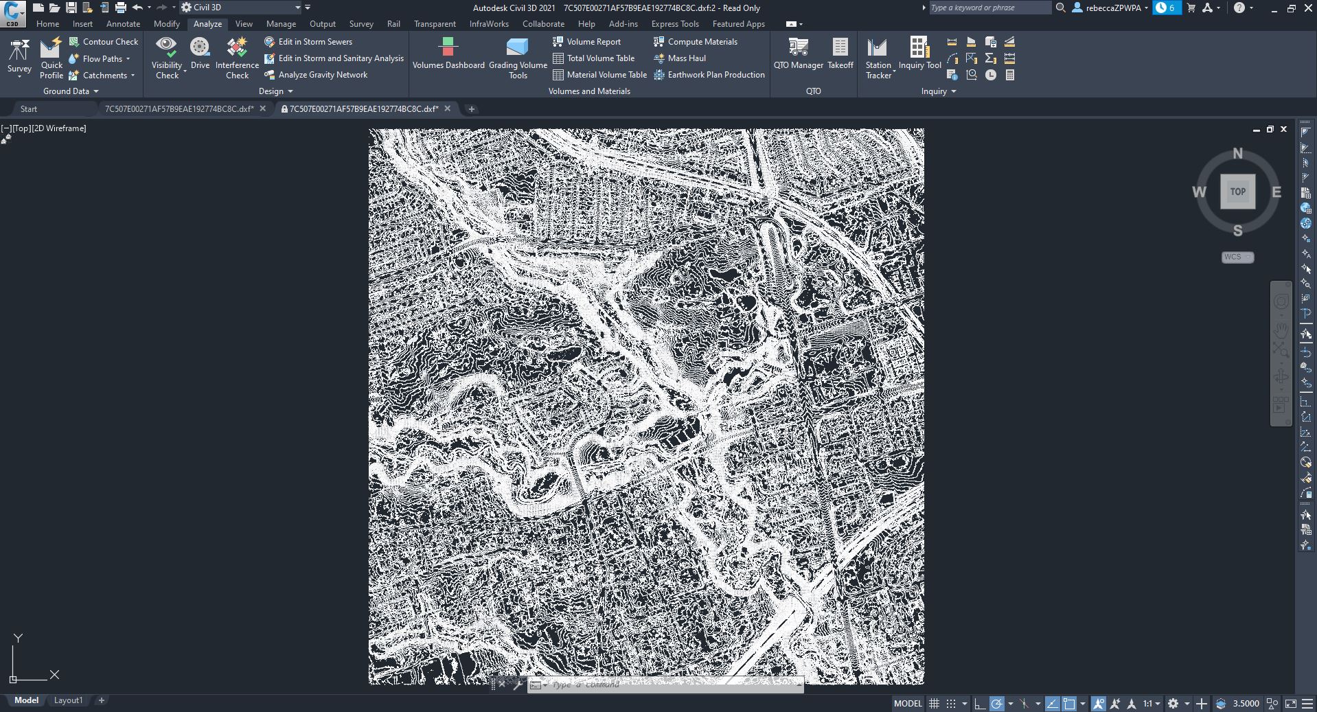
Do you need to extract contours for CAD? No problem! Contours can be exported in a variety of formats including DXF or shapefile. Create base plans on day one, without waiting for ground surveys. Equator export contours for use in a variety of platforms including AutoCAD, Civil 3D, Infraworks and MicroStation.
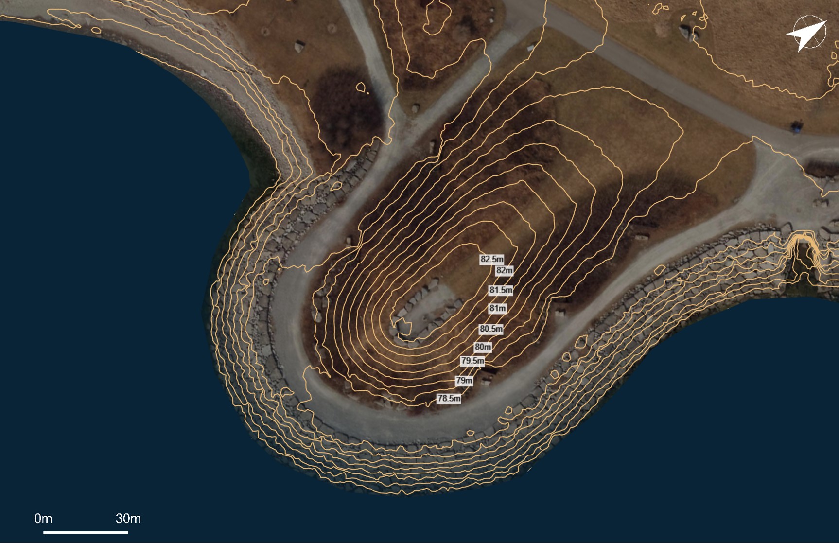
Generate contour labels instantly
Label contour lines simply by clicking to place the label text. Customize the size, format, and shape of the contour label easily. Using Equator, you can create an informative contour map to share with others online, or published for print.
Create contour maps for print
Generate contour map figures using pre-made templates in Equator, or create your own! Add images, text, and labels to show off your site and create powerful visuals. Publish contour maps to PDF, PNG, or share a digital version with others online.
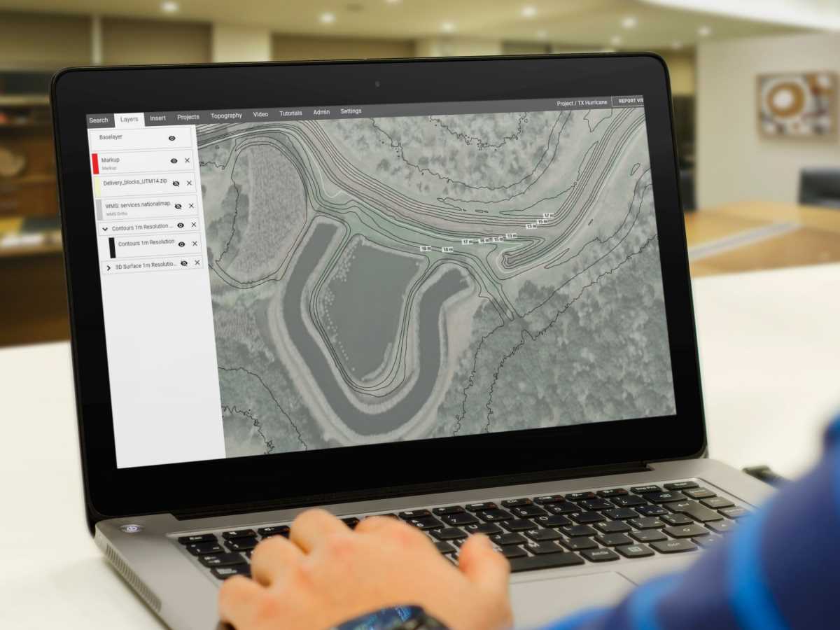
Contour mapping software
Equator is next-generation contour mapping software. No other platform allows users to create and extract contours from built-in, centimeter accurate LiDAR data. Generating contours has never been easier!