What is a Contour Map?
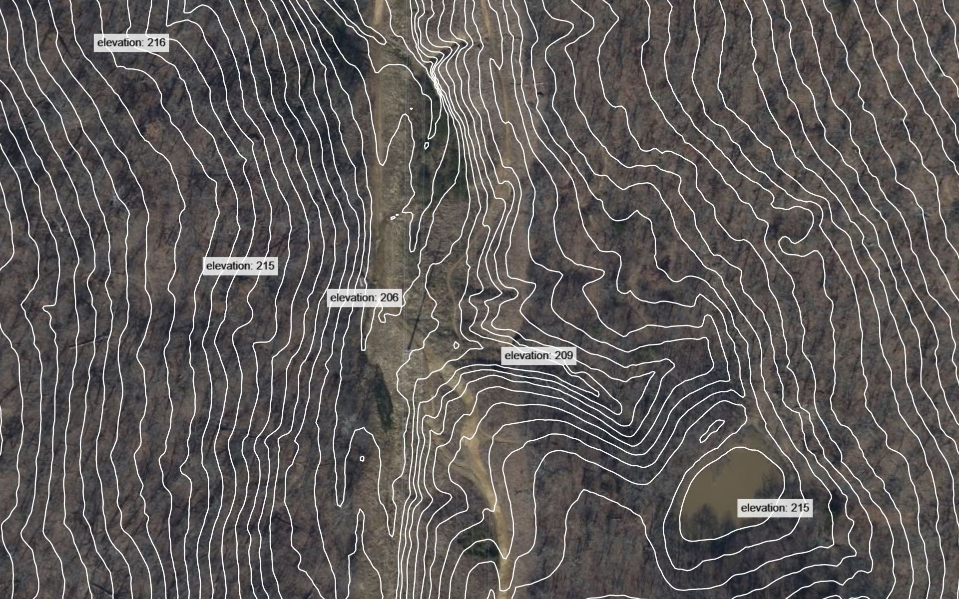
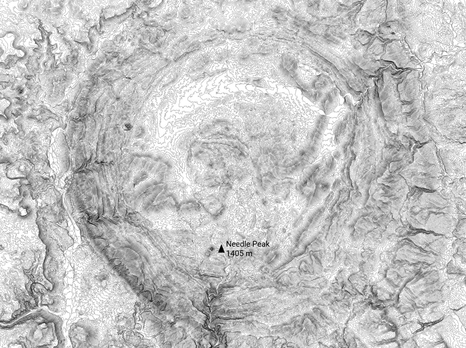
A contour map displays contour lines, outlining the shape and elevation of an area. The contour lines follow a continuous path and connect points that share an equal elevation. Surveyors, civil engineers, and various other professionals rely on them to plan for construction projects as well as to analyze the impact of natural disasters.
How do I make a contour map?
Using Equator you can create a contour map to view in Equator, or download for use in other software:
1. Visit Equator Studios
2. Search for a location that you would like to create a contour map
3. Zoom in using the scroll wheel to focus in on a specific area
4. Create your site boundaries by pressing the +NEW SITE button at the bottom left
5. In the left-hand sidebar, select “Contours (SHP)” or “Contours (DWG)”
6. Click “Generate” and our supercomputers will begin to process the contours
7. Within minutes your contour lines will appear on screen
Where are contours available?
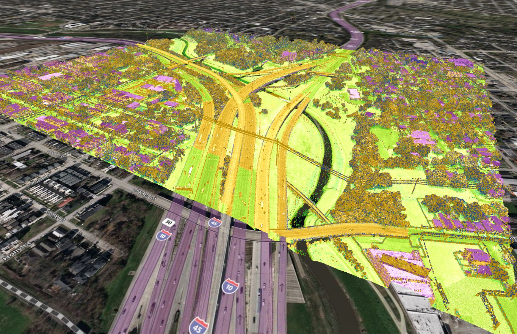
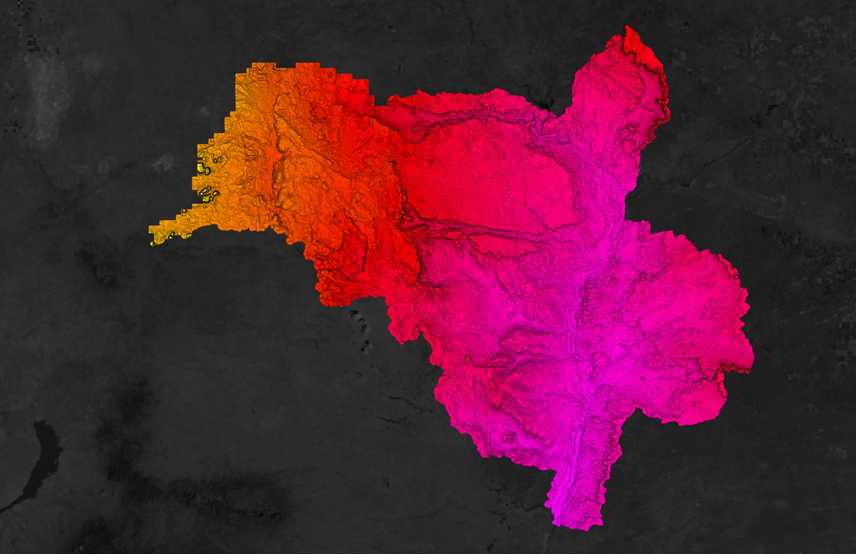
You can create a contour map using Equator anywhere on the Earth’s surface. We provide high-resolution data from LiDAR surveys as well as low-resolution data from JAXA.
The high-resolution data is available in parts of the USA, Canada, United Kingdom, Europe and New Zealand.
If you have other LiDAR datasets that you would like to see in the app you can email us at contact@equatorstudios.com.
