User Guide / Default Base Topography (low-resolution)
Default Base Topography (low-res)
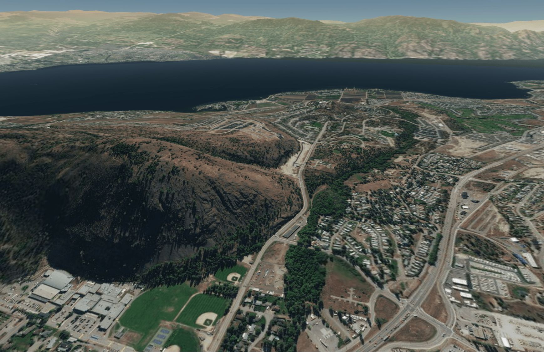
In this tutorial, we describe the source and quality of the default, built-in 3D topography.
Guide
By default, the terrain in Equator is built from the ASTER Global DEM. The accuracy of the default terrain is in the range of 20-30m. Equator provides the user the option to improve the accuracy of the terrain surface using public LiDAR data available locally (described in the following sections).
