LIDAR
Download LiDAR Data and Deliverables in Minutes
Stop wasting hours scouring the internet for quality data. Engineers who view LiDAR and download LiDAR from Equator get their projects off the ground faster, cut their downtime, and close more business.
Join other leading infrastructure designers who download LiDAR from Equator

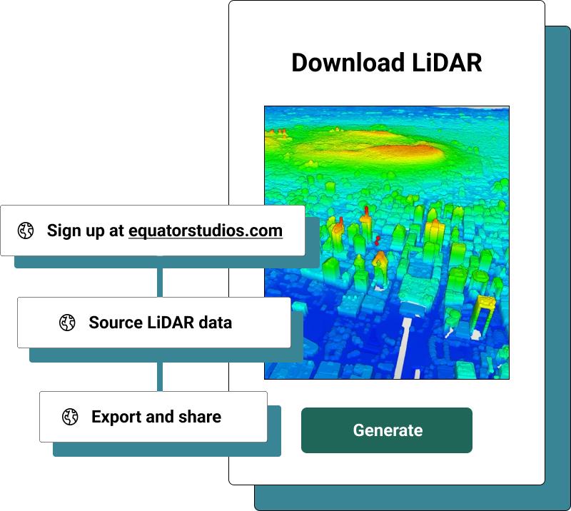
Download LiDAR
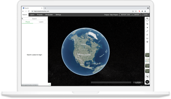
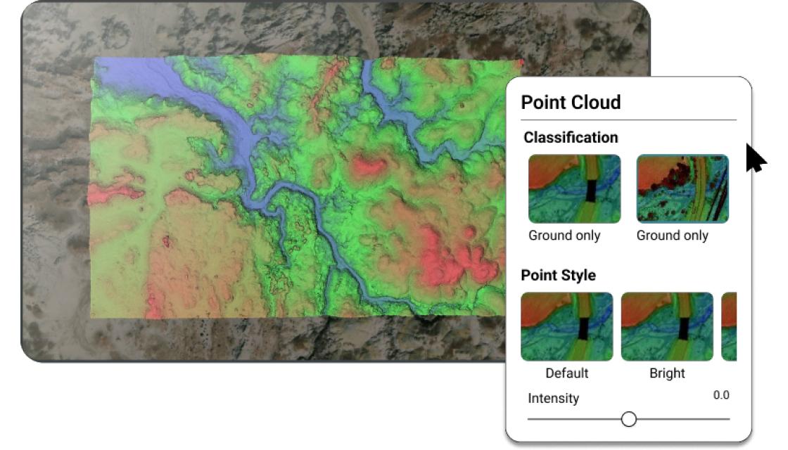
View and Download LiDAR file in Equator
- View LAZ Files
- Generate LAZ files for any area
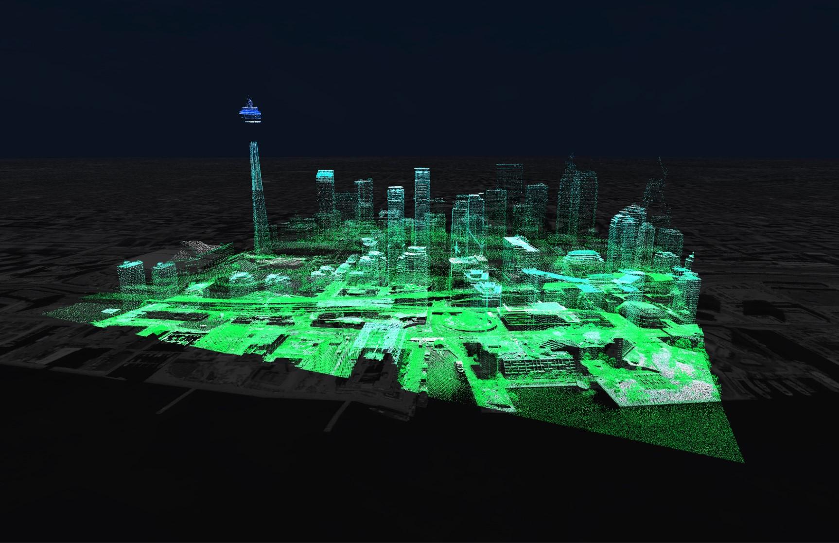
- Trillions of LiDAR data points
- Clip data to your exact site
- Accurate survey data
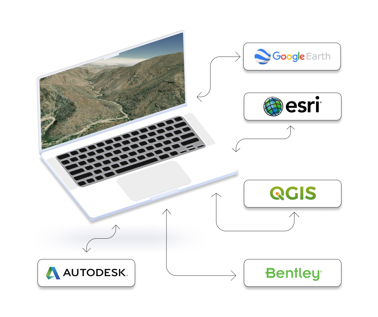
Integrate your map with other software
We’ve made it easy to integrate into your current workflow to get you up and running without friction.
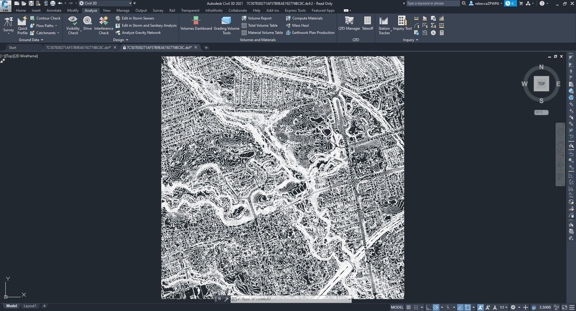
Equator supports popular GIS and CAD data formats, so map layers like LiDAR can be easily exported to Civil 3D, ArcGIS, Google Earth, or other platforms.
Cut hours of tedious work and get your project off the ground faster with LiDAR
Getting your hands on the data you need can take forever. With Equator, you can download LiDAR data and create deliverables in just a few clicks.
Trusted by 20,000+ users around the globe
10x
Faster access to LiDAR data downloads
50%
Increased productivity
$20,000+
Average savings on topographic surveys
“It’s unbelievable, it’s the greatest innovation since sliced bread”
Jim Dexter, Owner
JD Hydraulics
“It’s very cost effective. I could spend so much time trying to get this data, or I can just go to Equator and I can do it in 10 minutes. It’s unbelievable, it’s the greatest innovation since sliced bread in my opinion!”
Equator 101: Download LiDAR
Learn the basics of working with Equator to access and download LiDAR data online
Generate Smooth Contours
How to create smooth contours in Civil 3D from LiDAR downloaded from Equator
What our customers are saying
“Equator is easily twice as fast and just as importantly- it’s fun to use”
Nicholas Atwood, Owner
Aerial Data Acquisitions
“Before Equator, I was pulling state Lidar data directly, which is very time-consuming. Equator is easily twice as fast and just as importantly- it’s fun to use. It’s a joy to immediately visualize data sets and easily work with them in CAD.”
“I can find and download beautiful data in a fraction of the time.”
Brad Florentin, Principal Engineer
The Flow Path
“It’s very cost effective. I could spend so much time trying to get this data, or I can just go to Equator and I can do it in 10 minutes. It’s unbelievable, it’s the greatest innovation since sliced bread in my opinion!”
“Before Equator, getting the data I needed used to take me hours…”
Zeke Saavedra, President
ZECO Enterprises, LLC
“Before Equator, getting the data I needed used to take me hours, and sometimes I even had to hire a sub-consultant to process it for me. Now it takes me 15-20 minutes to get the same result. This has made a huge difference in my business.”
