What is Drainage Mapping?
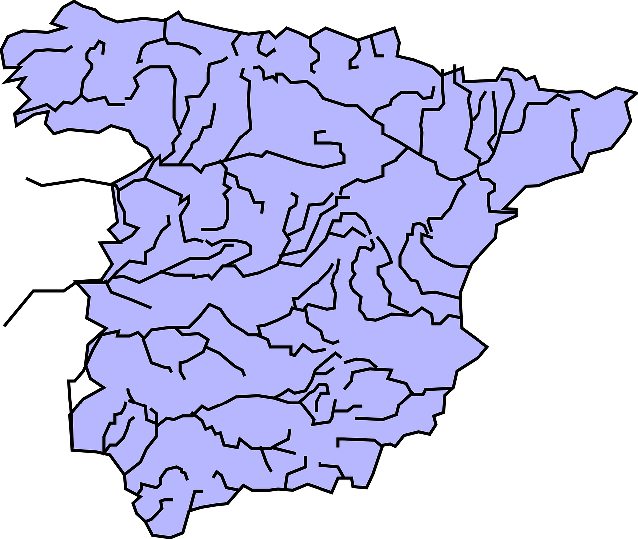
Drainage mapping is used to determine a drainage area and represent the information on a map. Drainage areas are areas where storm water collects: reservoirs, creeks, lakes, streams and rivers. Using Equator, you can get accurate elevation information to determine where drainage areas are and create drainage maps!


Surface Water Drainage Maps
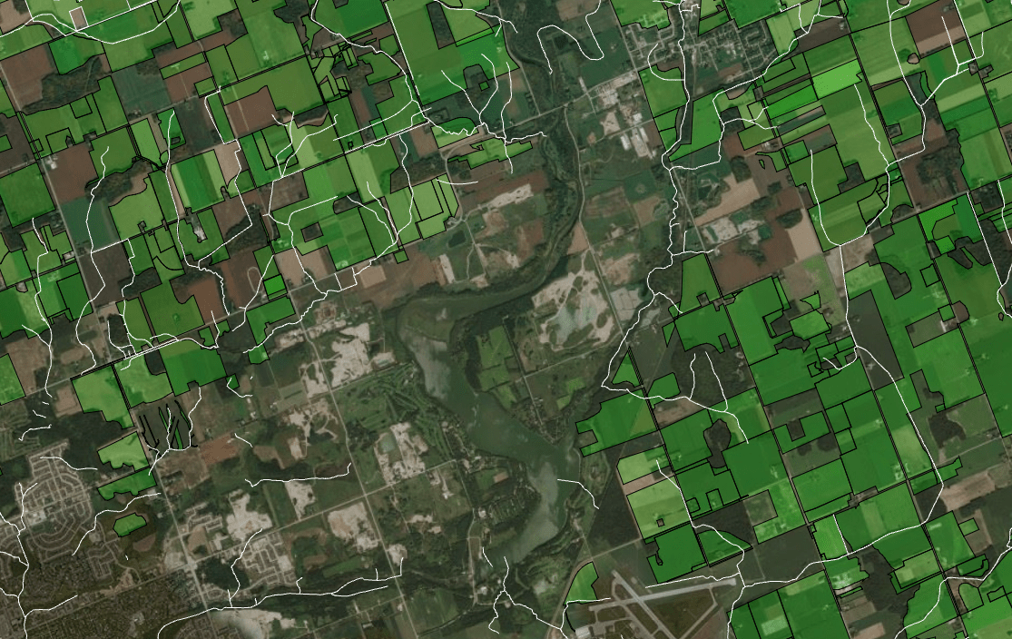
Surface water is water that collects on the surface of the ground rather than in drainage areas. Surface water drainage maps are used when doing flood assessment. By combining elevation data and water shed data engineers are able to create surface water drainage maps to ensure flood risks stay at management levels.
What is a Storm Drain Map?
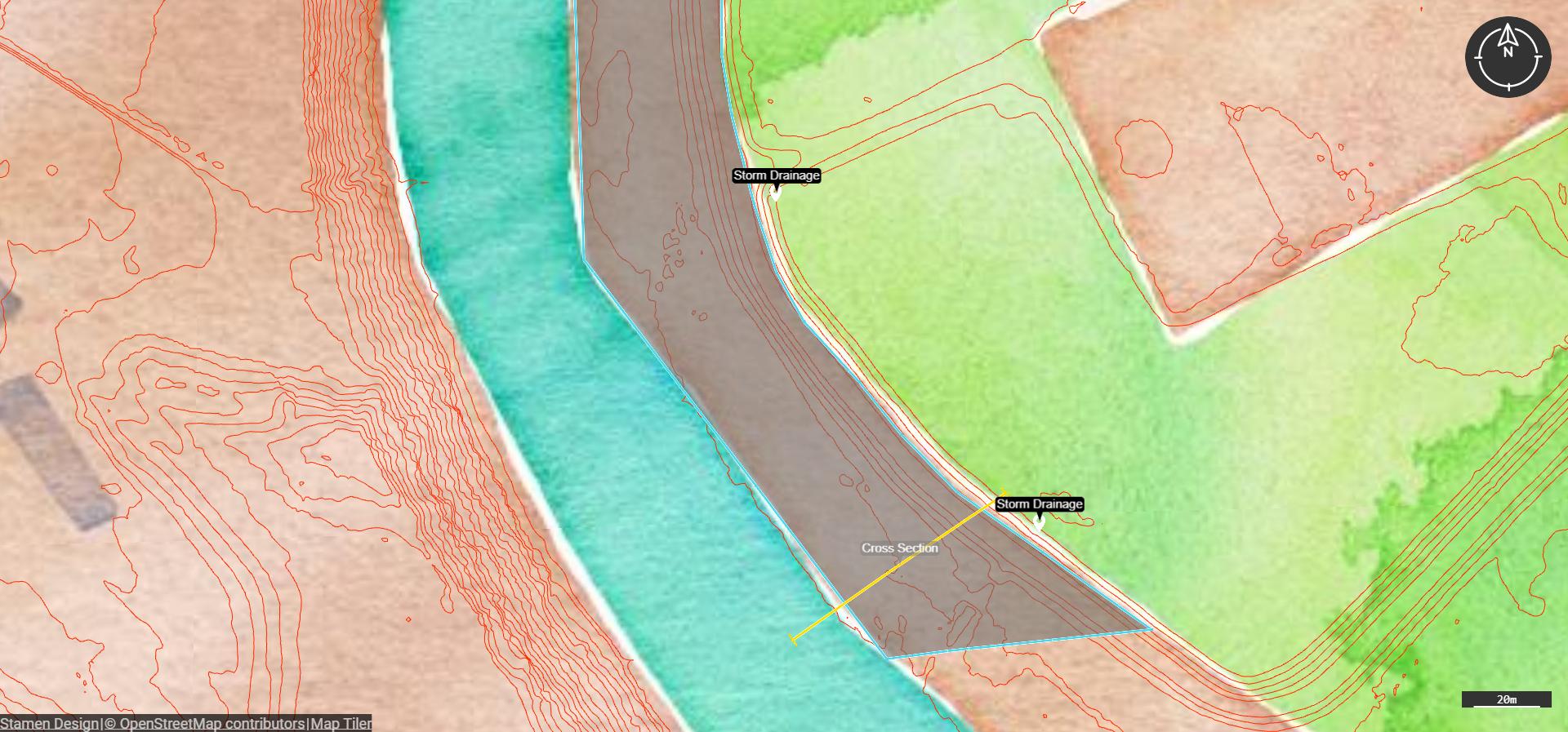
A storm drain map shows where the water enters through drains on roadways as well as which drainage areas the runoff is carried to. This isn’t to be confused with a sewer drain map, which carries water to a wastewater treatment plant. View your own storm drain map files in Equator by dragging and dropping the file into our platform, or search through our list of built in data layers for a storm drain map in your area.


Drainage System Maps
Drainage system maps identify which type of drainage system is being used and where it is located. Marked on the map you may find where surface drainage systems are used to remove excess water via channels or ditches near roadways, slope drainage systems using pipes to manage the water flow, gutter systems to deal with excess storm water or other drainage systems.