Equator Examples

You can access lots of data in Equator, make a variety of maps and gather valuable insights. Below we will highlight some of the features you can expect to find inside Equator.
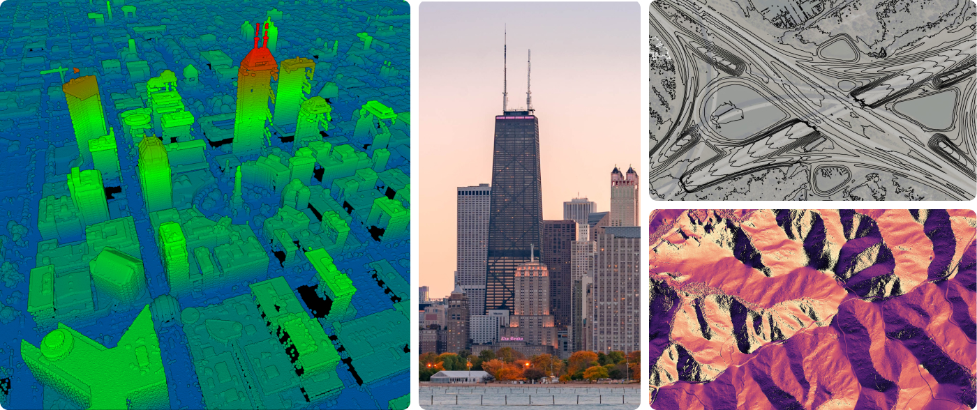
Our Story Header Image

Try Equator for Free

View Point Clouds

There are many ways to view point clouds in Equator:

  1. Drag and drop your own point cloud onto the map to view it
  2. Select an area and have Equator process the data for you
  3. Select one of our built in datasets and view the entire point cloud at once
albuquerque topographic map
Highway 164 Contours LiDAR

Create Contours

Get high-quality, high-resolution contours made from 100,000+ data points. View the contours or export them for use in other software at the exact interval that you need.

Make DEMs

Access digital elevation models (DEMs) at up to 10cm in accuracy.

Digital Elevation Model of highway interchange

Try Equator for Free

Add Annotations, Measurements and Markups

Use the design tools in equator to annotate your map, take accurate measurements and draw markups.

Text-Annotations-Measurements-and-Markups
Minnesota Cross Section

View Elevation Data with Cross Sections

Using the cross section tool you can access detailed elevation data.