Find, Create and Publish HD Base Maps in Minutes
Equator provides instant access to the highest-resolution topographic data available, without leaving the office.


Unleash the power of HD maps to grow your business.

Stand out, sell more
Impress prospective clients with detailed HD base maps and hidden location insights.

Save time
Save time finding the data sets you need, or add your own. Create figures fast!

Anyone can do it!
Get up to speed in minutes, Equator is for the whole team.
Featured Users


“We previously would request LIDAR/contour information from one person who was experienced in downloading the files. With Equator, it is accessible to everyone.”
“Easy to create and professional looking figures.”
“By importing all available information on a site and preparing a figure for inclusion in the proposal, it shows the Client we are being pro-active at understanding the constraints of the site.”
“The platform is user friendly and the drag and drop makes it easy to start up a new project.”
“It is all on the same platform. There is no need to go into different websites to gather the info. It is much quicker.”
“We previously would request LIDAR/contour information from one person who was experienced in downloading the files. With Equator, it is accessible to everyone.”
“By importing all available information on a site and preparing a figure for inclusion in the proposal, it shows the Client we are being pro-active at understanding the constraints of the site.”
“It is all on the same platform. There is no need to go into different websites to gather the info. It is much quicker.”
Visualize your site from a new perspective.
Cut cross sections from the topography in real-time and check out your site from hundreds of vantage points. With Equator, you can share your insights with the whole team in a few simple clicks.


“We previously would request LIDAR/contour information from one person who was experienced in downloading the files. With Equator, it is accessible to everyone.”
“Easy to create and professional looking figures.”
“By importing all available information on a site and preparing a figure for inclusion in the proposal, it shows the Client we are being pro-active at understanding the constraints of the site.”
“The platform is user friendly and the drag and drop makes it easy to start up a new project.”
“It is all on the same platform. There is no need to go into different websites to gather the info. It is much quicker.”
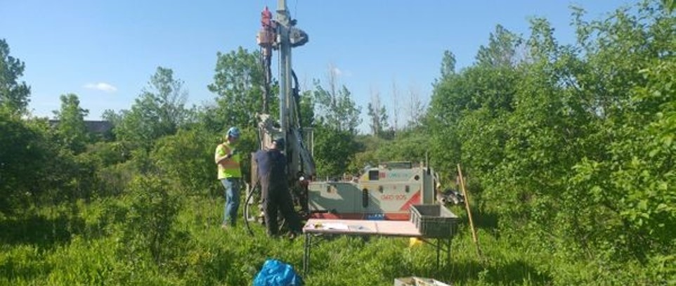
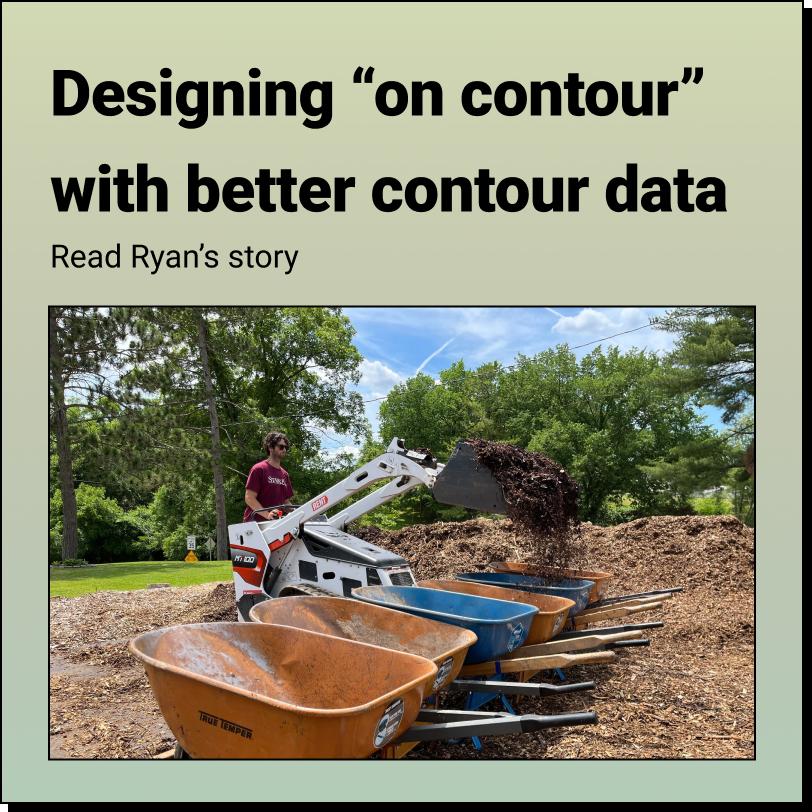
Case Studies
Learn how Civil Engineers, Landscape Architects, Planners and Construction Contractors are putting Equator to work to win more work and get the job done faster.

Featured Data Providers


News and Tutorials
Keep up with the latest news and tutorials from the mapping world. Learn how you can make Equator work for you!


