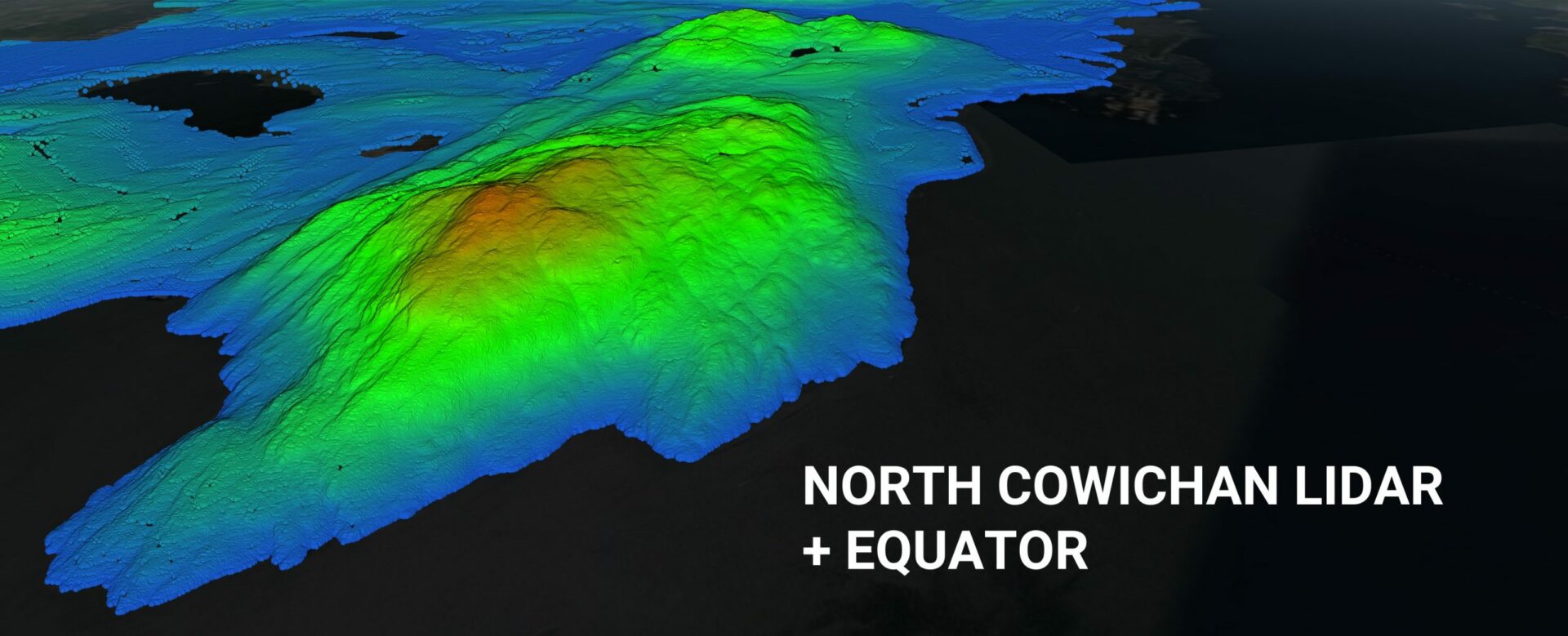
Equator Launches the North Cowichan LiDAR data set
Equator provides unprecedented access to centimeters of accuracy, in a user-friendly online design platform.
Last Updated: November 11, 2021

Equator is pleased to announce the launch of the North Cowichan LiDAR data set in Equator. The North Cowichan LiDAR data set covers approximately 24,000 ha and was collected in 2017. This high-resolution elevation data, provided through Equator, provides significant capabilities for city builders, such as civil engineers, architects and construction professionals.
The North Cowichan LiDAR data set has been launched in entwine format on the Equator platform, allowing LiDAR point cloud data to be streamed to the user online in real-time. This is consistent with Equator’s mission to improve access to and usability of high-resolution elevation data.
ABOUT THE NORTH COWICHAN LIDAR DATA SET
The North Cowichan LiDAR data set is published by the Municipality of North Cowichan under the Open Data License – Municipality of North Cowichan and is available in the BC Data Catalogue. The data set contains 12-15 points per meter LiDAR collected in 2017. The estimated accuracy of the LiDAR is 7.3 cm at 95% confidence level.
The North Cowichan LiDAR data set can be accessed on the North Cowichan GIS website, via the BC Data Catalog, including the following data products: 10cm resolution ortho-imagery, 12-15 points per meter LiDAR, and 1 meter contours derived from the LiDAR.
The North Cowichan LiDAR data set can also be accessed using the Equator platform. Equator enables users to view the LiDAR point cloud online, take measurements and cross sections, and design directly with the data online. Equator can also be used to generate smooth contours, digital elevation models (DEMs), Digital Terrain Models (DTMs), 3D printable meshes (STLs), and point file exports (LAZ).
ABOUT EQUATOR
Equator is mapping and design software with thousands of built-in data sets. Equator is used by civil engineers, architects, and construction professionals around the world to find, build, and share maps and designs instantly.
FOR ADDITIONAL INFORMATION ABOUT THE NORTH COWICHAN LIDAR DATA SET, PLEASE CONTACT:
Municipality of North Cowichan GIS (custodian)
opendata@northcowichan.ca
FOR ADDITIONAL INFORMATION ABOUT EQUATOR, PLEASE CONTACT:
Rebecca Swabey
Chief Executive Officer
Equator
rebecca@equatorstudios.com