Generate Terrain and Print 3D Topographic Maps
Generate 3D printed topographic maps in minutes, from terrain meshes online. Equator is an easy-to-use 3D topography mapping tool for makers all around the world.
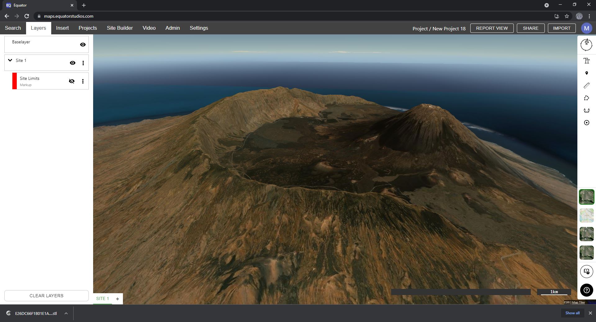

3D print topographic maps
Using Equator, anyone can download 3D print topography in just a few clicks. Simply draw a polygon around your site, specify the resolution and generate a mesh for your project faster than ever before!
High-resolution 3D terrain data
Equator generates mesh from high-resolution elevation data, using built-in public LiDAR data sets for Canada and the United States. Start with the best available data, sometimes accurate to a few centimeters! Easily generate 3D meshes from LiDAR right in your browser.


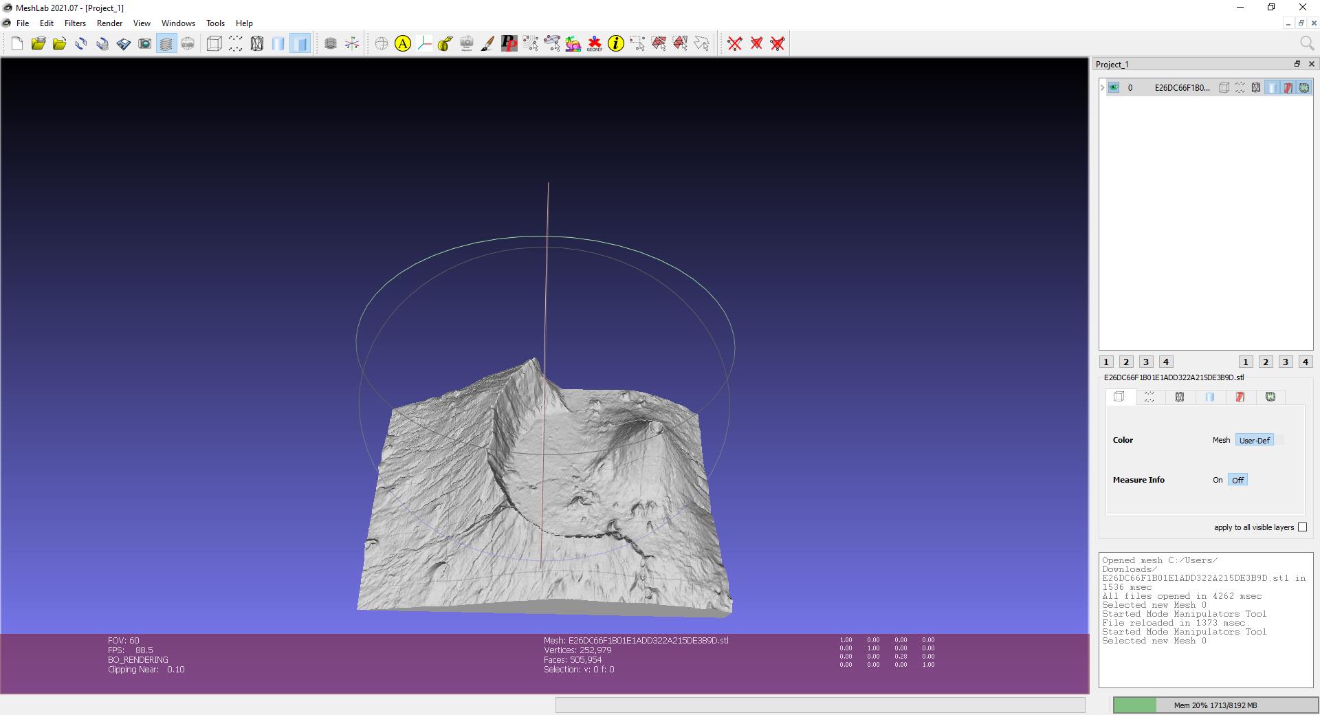
Convert terrain into STL files
Use Equator to convert 3D terrain into an STL file from high-resolution elevation data. Download STL models and import them into your software in minutes.
Next-generation LiDAR software
No other platform allows users to view and download 3D printable topography LiDAR this easily. Make a STL mesh from LiDAR data in minutes with Equator!
