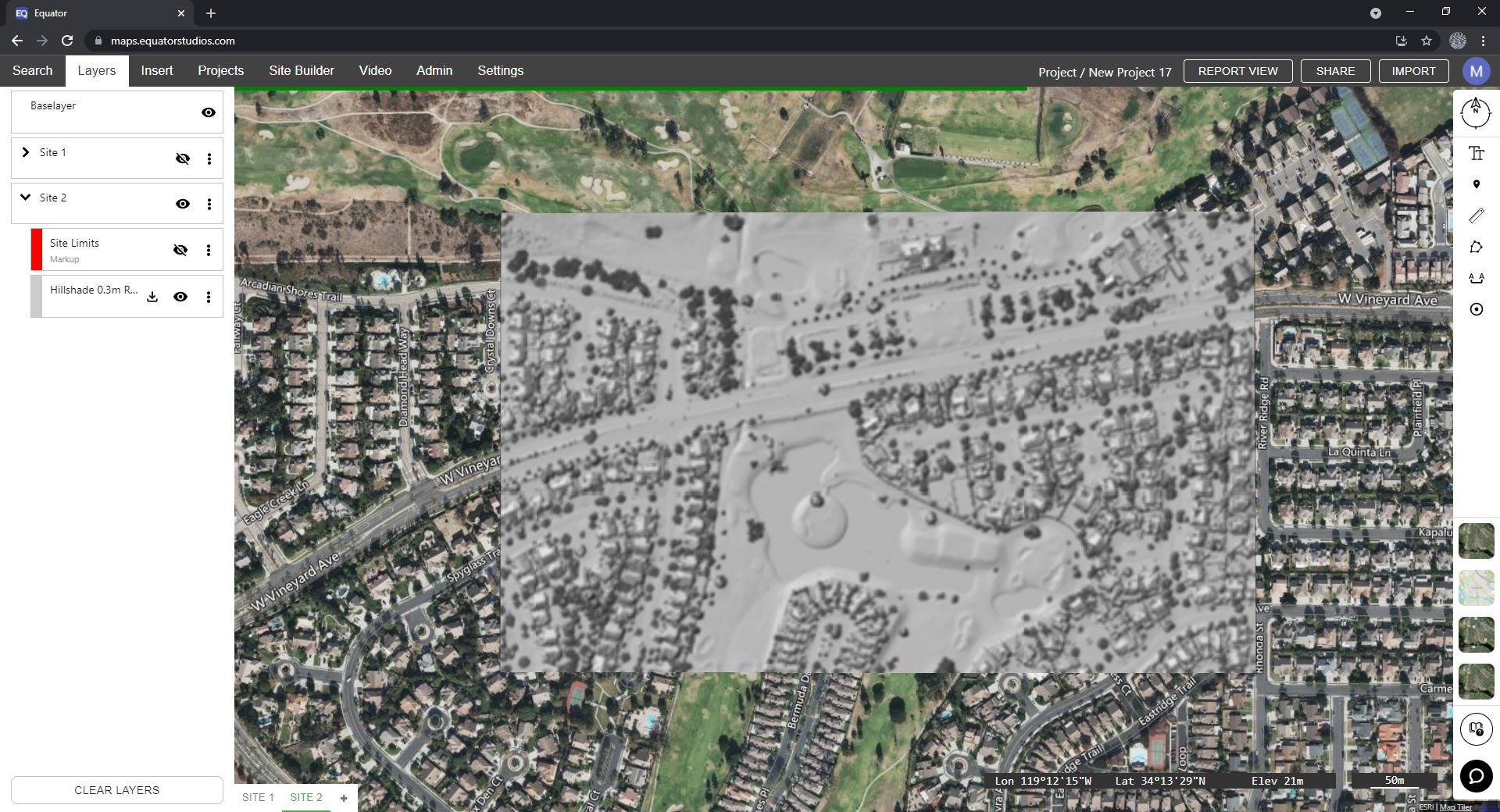

Generating hillshades on the fly
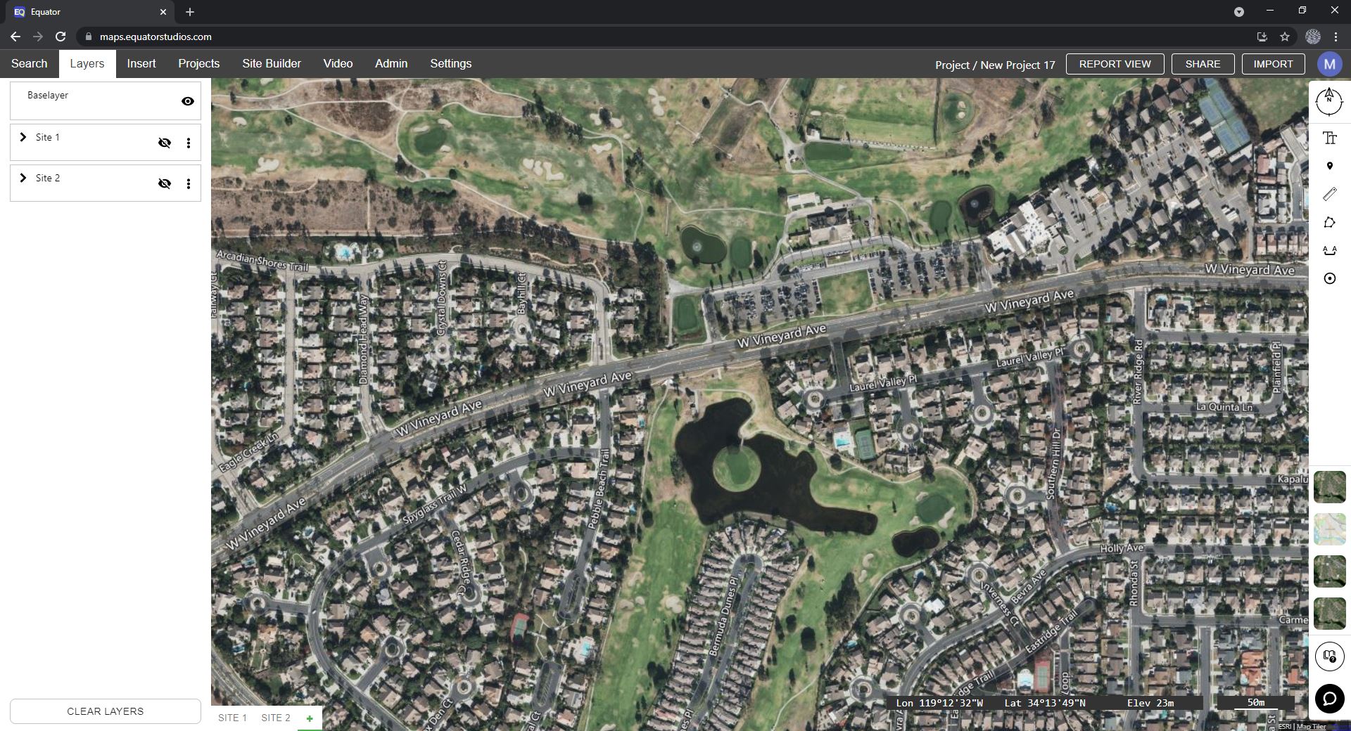
Using Equator, anyone can create a hillshade in minutes. Simply draw a polygon around your site, specify the resolution and generate a hillshade for your project faster than ever before! No surveyor required.
High-resolution elevation data
Equator creates hillshades from high-resolution elevation data, using built-in public LiDAR data sets for Canada and the United States. Creating hillshades from LiDAR means that you are starting with the best available data, sometimes accurate to a few centimeters! When you create a hillshade in Equator, LiDAR data is processed on the fly into an elevation hillshade for your site.

Easily view your hillshade in GIS Software
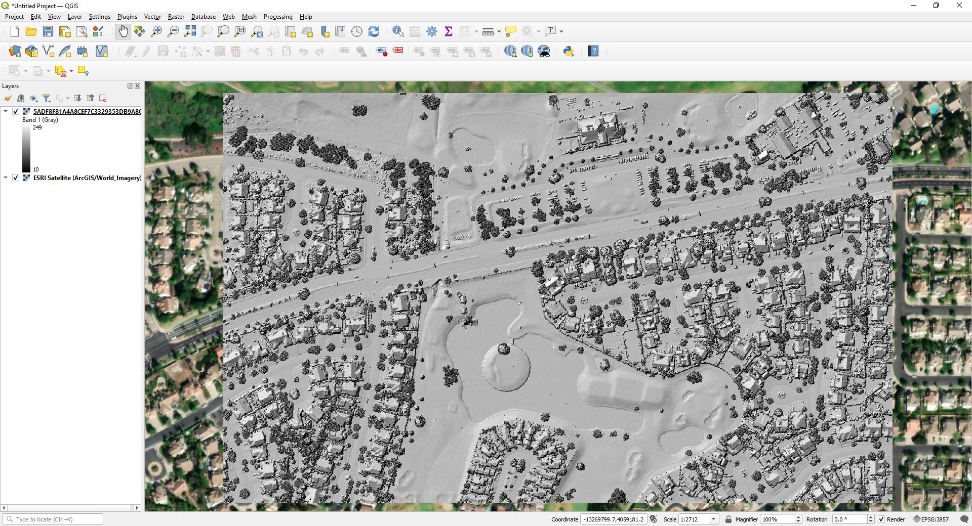
Do you need to extract an elevation hillshade for ArcMap or QGIS? No problem! Download your hillshade as a GeoTiff and import into your GIS software in minutes. Visualize your project site on day one, without waiting for ground surveys.
View massive rasters instantly
Is your raster data rendering slowly in ArcMap or QGIS? Tired of waiting for raster data to load? When you export a hillshade in Equator, you can view raster data instantly, right in your browser, and share it with others with just a few clicks.

Next-generation topographic mapping software
No other platform allows users to create and extract hillshades from built-in, centimeter accurate LiDAR data in just a few clicks. Generating a hillshade to visualize a site has never been easier!