How Clint Speeds Up Drainage Assessments and Real Estate Decisions with Better Topo Data
About Clint Karsetter: Principal, Owner
Company: CK Civil Engineering LLC
Location: Fayetteville, Arkansas

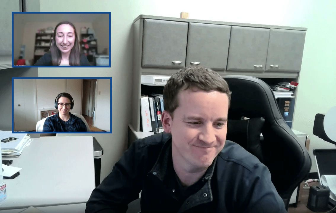
Meet Clint, Owner and Chief Engineer of CK Civil Engineering
Clint, the Owner and Chief Engineer of CK Civil Engineering LLC, runs a civil engineering firm serving commercial real estate clients in Missouri, Arkansas, and Texas. The majority of his projects involve conducting site reviews on properties that have the potential to be commercially developed. The current real estate market moves quickly meaning he needs to be able to complete his reviews with very little turnaround time.
Real Estate Development: The Race Against Time
The real estate market moves quickly so time is crucial for realtors. They need to know if a site is worth developing even before it hits the market so they can act upon it once it does. Clint does not have time to sift through databases to find the information he needs to complete a drainage plan. He needs accurate contour data as soon as the Realtor contacts him to complete an assessment.
“[Before] I had to search through national and statewide databases. Once you have it, the datasets are big so it bogs down your computer, you have to dig through it to get just the information you need, and even then the contours intervals aren’t as tight as what I need – so 5 or 10 foot even. Sometimes it’s not good enough for what I need for a specific site. Equator speeds up this whole process quite a lot.”
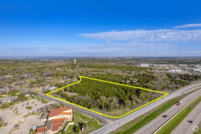
Example of a commercial land parcel for sale in Texas.
How Clint Fast-Tracks Drainage Assessments and Costing with Equator
Clint usually starts with a parcel or land map provided by the client and checks water and sewer availability on county portals. Then he uses Equator to get contours and get a sense of the topography of the site.
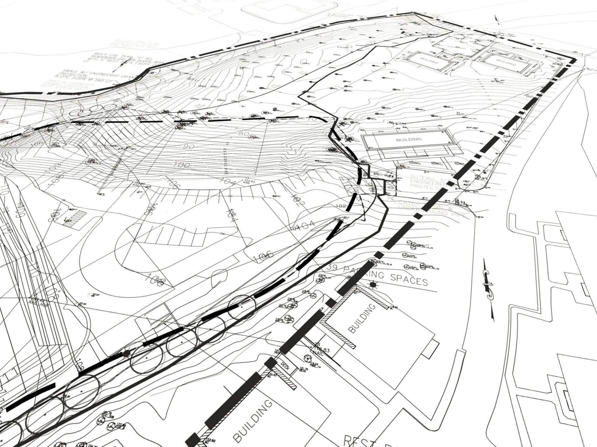
Being able to source contours so quickly means that he can size drainage basins, look for any potential drainage issues, and flag any additional costs related to the characteristics of the site all from his desk.

I can quickly give [clients] a rough idea of what they’re looking at or any additional costs that are unforeseen to most people. I can see them because, I understand what to look for and being able to get that information quickly and accurately to the clients is what makes Equator successful for me.
Clint Karsetter, Owner and Chief Engineer of CK Civil Engineering LLC
Better Data, Means Better Decisions for Clint’s Real Estate Clients
Real estate clients move quickly, and Clint often has to make decisions with the best information available. With Equator, the best information becomes even better.
In the past, he often had to rely solely on aerial imagery to try and understand a site. Now, high-resolution, lidar-derived contours from Equator gives him a chance to see below tree cover, and even over ravines.
“I’ve done some here in Northwest Arkansas where there’s a ravine that’s off the property that you can’t really see from aerial view through the treescape, but once you get the contours and then you start to look closer at it and it makes sense. But you just don’t see it just from a flat aerial view.
The quick access to contours that I can visualize, and then work with in CAD right away. The speed that I can do that in Equator is just much faster than anything else around.”
The Bottom Line: Quick Access to Topo Data Speeds Up Valuations and Development Decisions
A big part of Clint’s job is communicating with his clients. In his role, his clients make the final decision based on his input. This includes the drainage characteristics of the land, how much of the potential site is usable, what the upfront costs might be and what the next steps for developing it would be.
Overall, Clint’s win is maximizing the area of their sites they can use for development for his clients. The initial decision is usually made based on how much earthwork is required and whether utilities are available on-site. Beyond that, the topography of the site is the most important factor in figuring out exactly how much of the site is usable for commercial activities. With Equator – that’s easier than ever.

10x
Faster data sourcing
30K+
Users around the world
Discover with LiDAR, right from your desk!
Skip the wait and complex GIS software; start using Equator and LiDAR data instantly online, right in your browser!
