How Egmond Associates Ltd. uses Equator to source topographic data and complete slope stability assessments faster

Overview
Challenge
Julie Vandermuelen is a Project Manager at Egmond Associates. Her role includes completing geotechnical reviews and reports, to better understand the stability of structures, slopes and more.
Much of her work relies on collecting accurate topographic information to support these studies, including cross sections of key features in the study area. To find the topographic data she needs, several different databases of contour maps and historical maps have to be reviewed – a time consuming process!
In some cases, it can be impossible to find accurate topographic information online. When adequate data isn’t available, the slope has to be measured in the field and the contours have to be manually turned into a slope profile by hand.
Solution

“It has made available an easy to access database of accurate contour mapping and can automatically measure the profile of the slope with the line drawing tool. This provides accurate enough data for the majority of slope stability jobs.”
— JULIE VANDERMUELEN, PROJECT MANAGER @ EGMOND ASSOCIATES LTD.
“I like how the software can show an accurate 3D representation of topography so that I can visualize exactly what the slope of the land looks like.”
— JULIE VANDERMUELEN, PROJECT MANAGER @ EGMOND ASSOCIATES LTD.

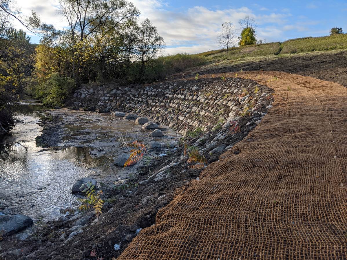
Sample contours and cross section of a creek and valley slope in Equator