How Jose used Equator to dramatically speed up relief response after hurricane Fiona
About Jose: Independent surveyor/ designer
Location: Based in Puerto Rico


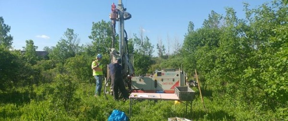
Photo 1: Jose surveying on Ian Karlos Culebra Island
Jose’s challenge
Jose is an independent surveyor working in Puerto Rico. He shared that surveyors and designers are scarce in Puerto Rico, and it can be difficult to find surveying teams to go out and get the data he needs for his projects. He often goes out himself, but in some cases, this is not possible. A large part of the country is covered with very heavy vegetation making it difficult to access.
The process is also very time-consuming, sometimes taking months to get the crews out to collect the data and then process that data into usable information.
In his words:
“A lot of the projects I work on are in or around very heavily vegetated areas. We are talking thick forests that are almost impossible to access. Without Equator and access to Lidar data it would take many months for us to find a crew willing to go there. Getting the information and processing it would take even longer.”


“Because we are in a region prone to hurricanes I can see this tool being invaluable for my work. I am so happy I found it.”
Jose Chepo Rivera, Independent Surveyor/ Designer in Puerto Rico
Hurricane Fiona
Time was definitely of the essence on a recent project Jose was called to help with. The request came directly from the Government in response to the damage caused by hurricane Fiona. Jose didn’t have time to send crews out to survey the damage. The response teams had to act fast in this emergency situation. Jose was able to pull data from Equator in a matter of minutes and share that information with the government, speeding up the process by months.

Photo 2: Road reconstruction Jose worked on in San Juan Puerto Rico
“This was an emergency situation. There were roads missing. Heavy flooding and families caught with no way in or out. We didn’t have 6 months to wait for a crew to go out there. Some of these areas are very remote.”

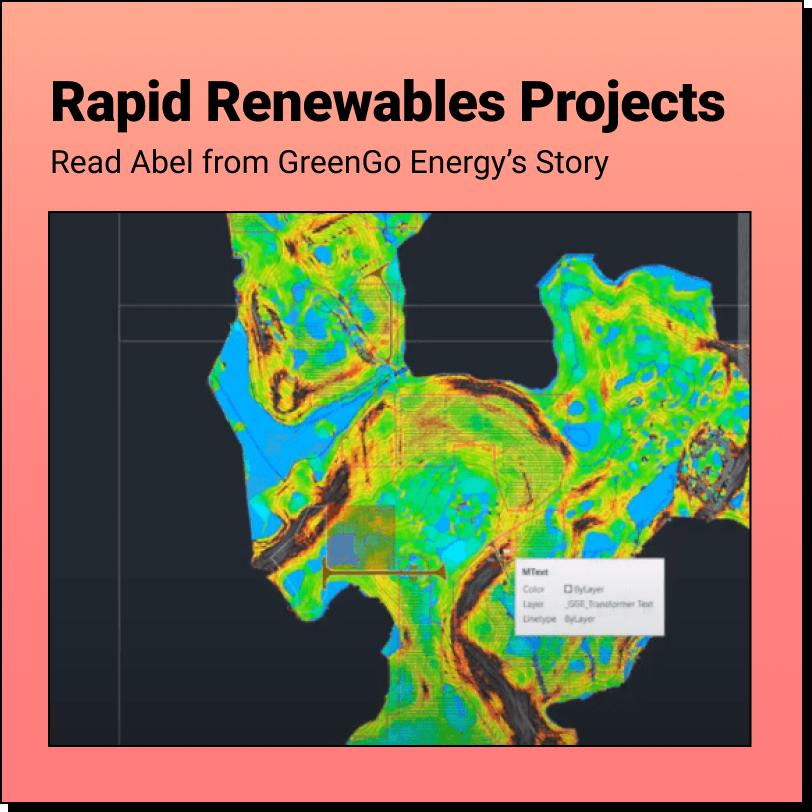
Photo 3: LiDAR data from Equator, converted to CAD points, combined with a boundary survey
Life after Equator
Finding a reliable source of high-quality data has opened up a lot of options for Jose. He will be able to better serve his clients and offer additional services.
Jose also shared with us that he would love to continue helping out with the relief efforts from past hurricanes. Hurricane Maria, which hit Puerto Rico badly in 2017 has left so much damage that recovery efforts are still under way. Jose is hoping that he can use Equator to help speed up those efforts as well.
“I really like the attention to detail that you have with the clients, that you try to get to know each of them. You have given me special attention and answered my specific questions which I really appreciate.”
Avoid project delays with Equator
Stop wasting hours scouring the internet for quality data. Engineers that use Equator get their projects off the ground faster, cut their downtime, and close more business.
10x
Faster data sourcing
20K+
Users around the world