How Ryan’s Foodscape Designs Flourish with Better Contour Mapping in Equator
About Ryan Albritton: Design and Foodscape Manager
Company: Custom Foodscaping (https://www.customfoodscaping.com/)
Location: St Louis, Missouri
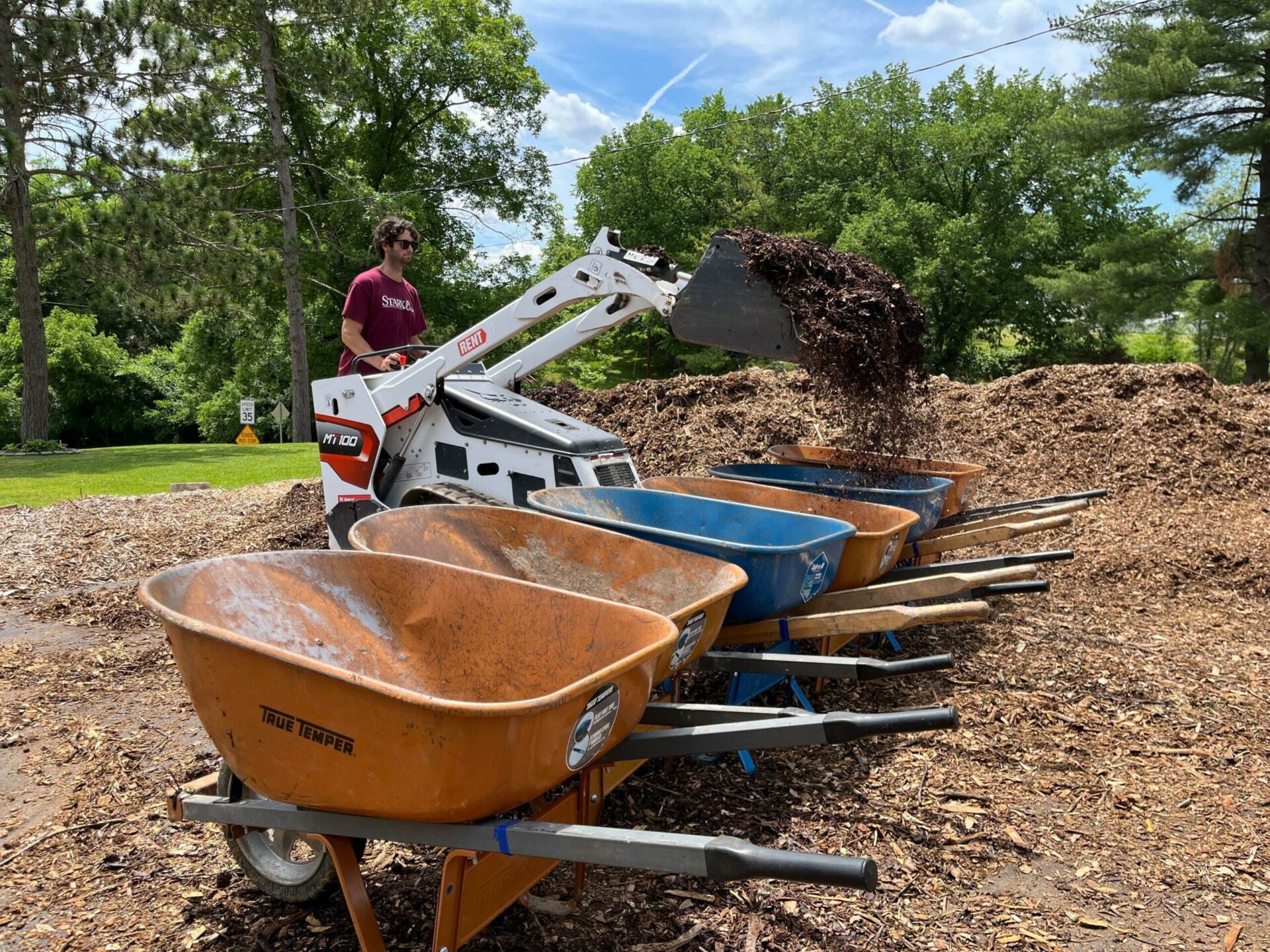
Ryan Albritton
Meet Ryan: edible landscape and permaculture design expert
Custom Foodscaping helps residential and institutional clients design and create edible landscaping and permaculture on their properties. As a Foodscape Manager, Ryan is involved with the design, planning and implementation of large scale projects in the St Louis area. Much of his design inspiration comes from Daniel Halsey’s United Designers course. These projects vary widely, and can include raised bed vegetable gardens, food forests, orchards, herb gardens, culinary gardens, or vegetable farms.
Equator has enabled him to expand his skill set, which already included carpentry, gardening, and landscape design, to include GIS!
Every new project starts with a review of topography in Equator
Clients usually find Custom Foodscaping via their website and book a consultation if they are interested in “foodscaping” their property. Ryan uses Equator to get an initial sense of the topography of the area. LiDAR helps him quickly understand the vegetation and terrain of a site, which can be especially helpful for big projects in areas he’s not familiar with.
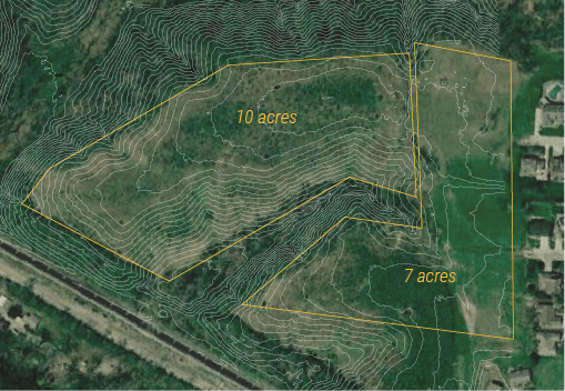
Contours and imagery for a client site. Ryan plans suitable areas for planting based on site terrain.
“I don’t do designs without visiting the site in person. But to have access to that level of accuracy early on in a project, it’s extremely valuable. And not only the contour maps, but all the other interesting elevation products you can generate – it’s very helpful.”

A hillshade Ryan created in Equator with USGS LiDAR data
The centralized data portal saves Ryan time and adds value for clients
Ryan used to obtain elevation data from different GIS portals and county websites, but the quality was mostly low and some sources were unreliable. Equator changed that. Now, with Equator, he knows the source of his data, and knows that he can get all the detail he needs from the high resolution LiDAR.
“It is good to know it’s a trustworthy source. You can find a bunch of stuff on the Internet, but knowing that it’s accurate and compiled from good sources is really good to know. I think that’s the most important thing – this is good data I can trust.”

I was kind of surprised by the amount of data that’s in Equator. You’re pulling from different sources, but it’s just like kind of mind-blowing to me the first time I played with it to find that pretty much everywhere has some version of mapping done at this point, and that’s just kind of crazy.
Ryan Albritton
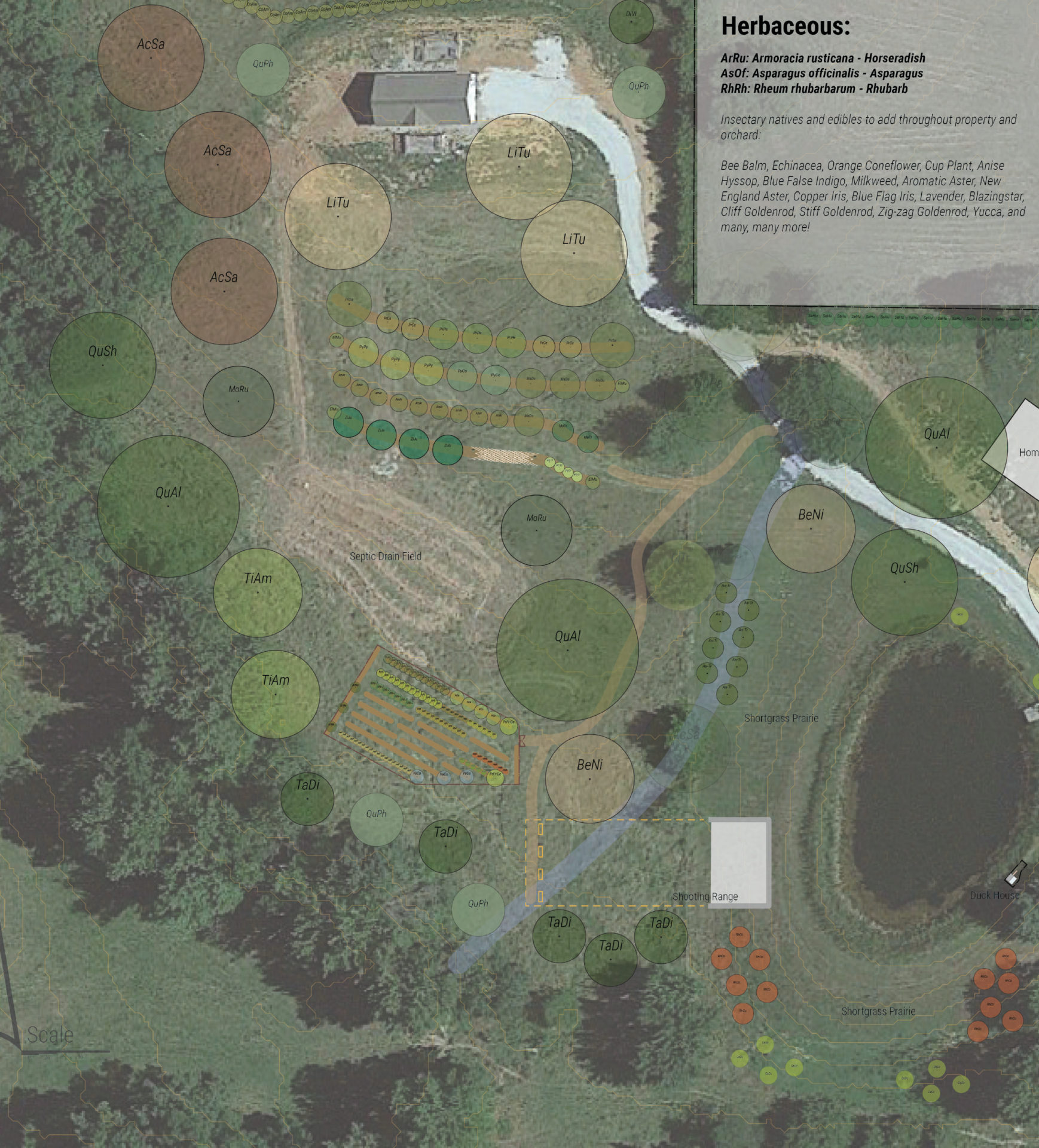
Part of a 15 acre homestead design by Ryan Albritton
Designing “on contour” with better contour data
A big part of Ryan’s work is water management. Not only is drainage off of a site important, but he also needs to make sure that the plants and crops are getting their share of water!
On a recent job, he was responsible for a 15-acre property on which the design included a big garden as well as an orchard with a mix of native and non-native trees. After a site visit, he had a good idea of where plantings would need to be placed. With topography data from Equator, he was able to see exactly how the terrain sloped and what would need to be done to ensure proper water flow through the site.
A large portion of the site had a gradual slope to it, which turned out to be very useful for placing the orchard when paired with berms dug into the hillside. By digging these berms slightly off contour, they catch and slow down water as it moves downhill, allowing it to soak into the soil more effectively. Similarly, the LiDAR data was able to help him choose a relatively level area for the large garden.
Ryan’s design practice flourishes with quality data from Equator
Ryan possesses both practical and technical skills required for this work and was able to seamlessly utilize Equator data to enhance his workflow. High resolution elevation data made it possible for him to create designs more efficiently and with greater precision.
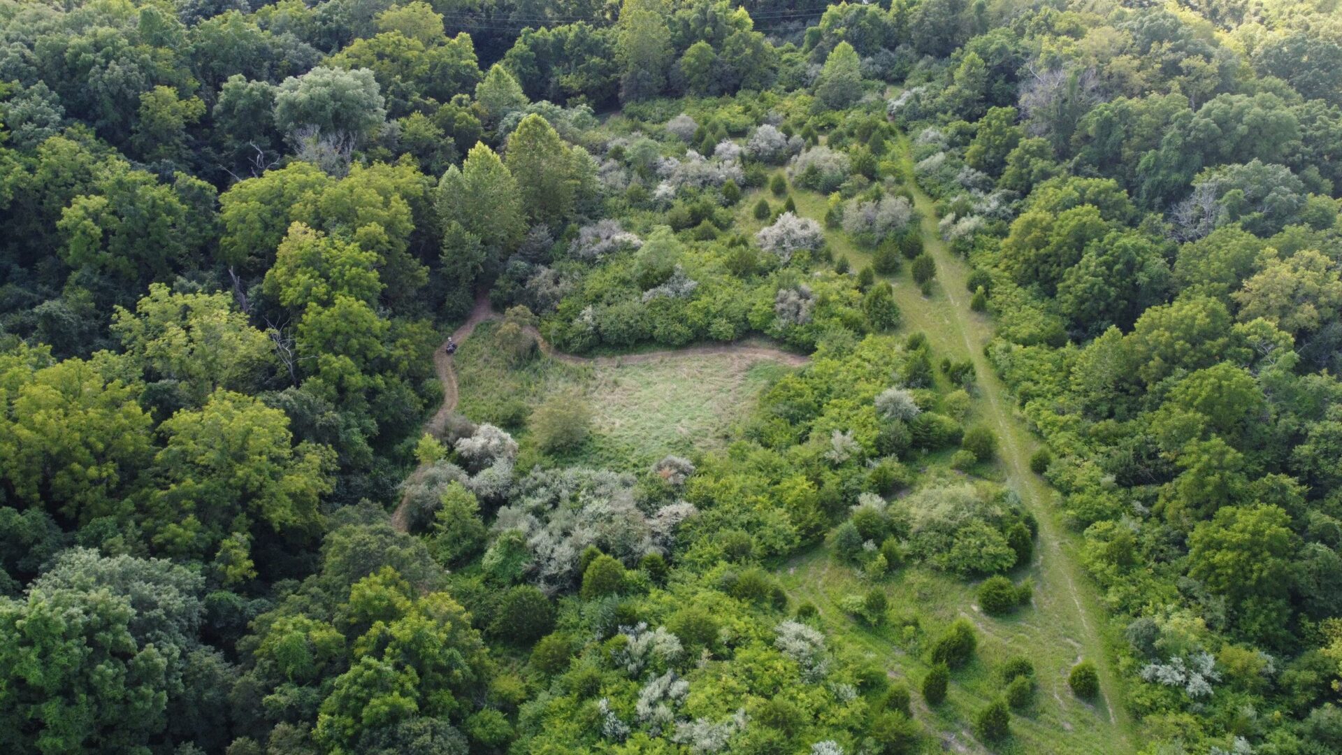
Aerial view of a 100 acre site Ryan is designing.
“One of the designers on our team uses CAD, and I do my designs in Illustrator. It’s nice because we didn’t have to learn another complicated software. The data is really easy to find in Equator. The interface is intuitive to navigate and find exactly what you’re looking for.”
10x
Faster data sourcing
30K+
Users around the world
Discover with LiDAR, right from your desk!
Skip the wait and complex GIS software; start using Equator and LiDAR data instantly online, right in your browser!
