How Steve Brings His Favorite Places to Life in Vivid 3D Using Topographic Data from Equator
About Steve Moseley: Civil Engineer, Artist, Builder
Location: Waukee, Iowa, USA
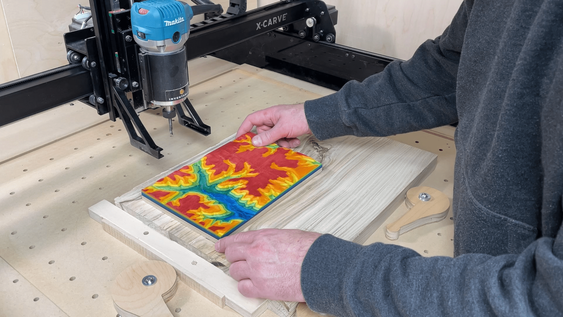
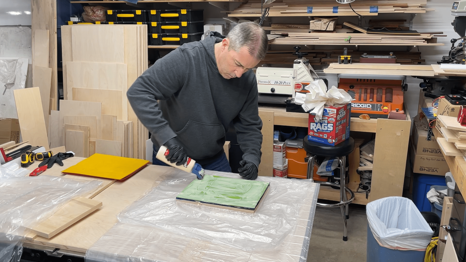
Steve creating the wood blank that he will carve the terrain model from
Meet Steve: a civil engineer by day and a DIY enthusiast by night
Steve Moseley is an engineer by training, who uses his problem-solving skills and passion for building to fuel his creative pursuits. Based in Waukee, Iowa, Steve’s family has generously allowed him to use a significant portion of the garage for his projects including woodworking, metal working, electronics, and epoxy.
Steve’s 3D family farm with LiDAR & CNC
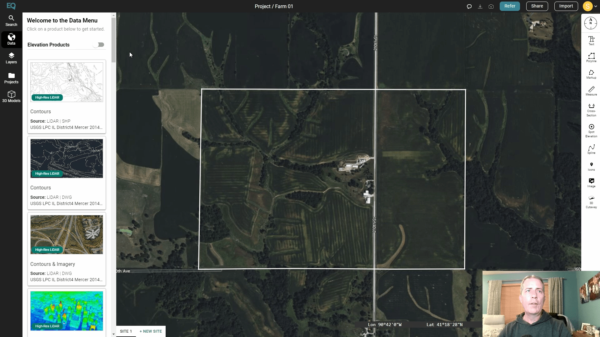
Steve had always wanted to create a 3D topographic map of his parents farm in Iowa. From his civil engineering work, he knew LiDAR data would be the place to start, but wasn’t sure how to work with such specialized data or how to translate it for his CNC machine.
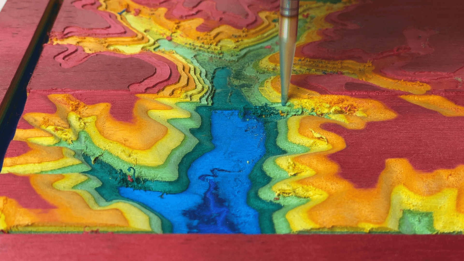
The finishing pass of the CNC carving in progress.
“Most of the time you have to be In the industry, and try to process that data it through a variety of means or multiple different processes to get what you really looking for. The fact that Equator creates STL file 3D prints to pull into CNC software and care it without having to go through that trouble is a big deal.”
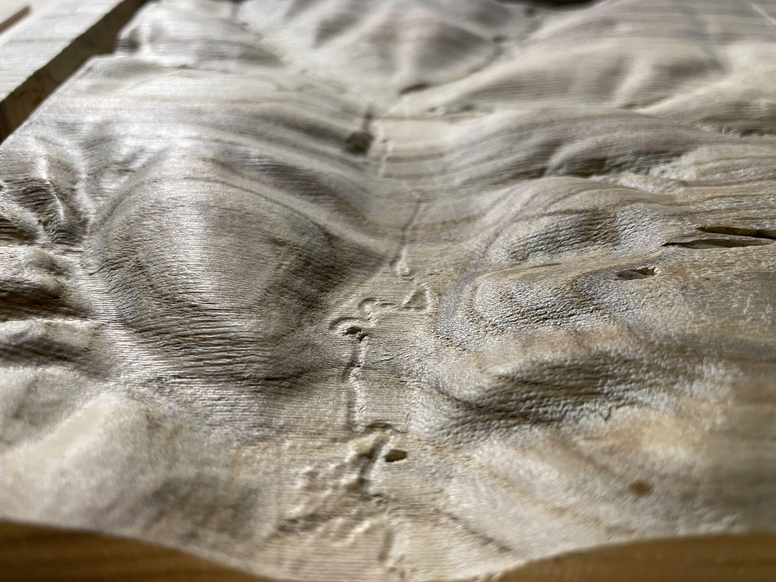
Detailed view of a creek on the Iowa property
How detailed 3D topography can be a gateway to nostalgia
With Equator, he was able to find several datasets in Iowa and within minutes create a 3D files ready for carving. While many engineers approach this data with an eye for accuracy, for Steve the real impact of the high resolution data was emotional – he was able to revisit his childhood.

Having grown up there and walked every every inch of it over the years, I was just kind of blown away by how good the detail was. And the resolution was so good that you could noticeably see ditches along the gravel road that they live on. That’s pretty amazing.
Steve Moseley
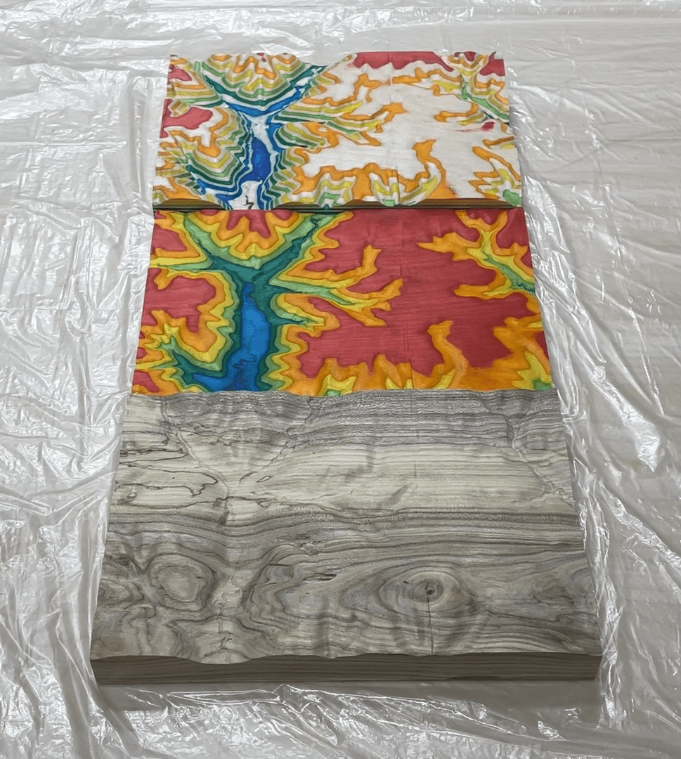
Samples of Steve’s carvings of Iowa topography.
Precision, customization and control
Before Equator, he was sourcing data directly from USGS and had no control over quality or resolution. Now, he’s able to do more projects than ever because he’s able to fully customize any data he’s getting from Equator. He can make changes to his site area and visualize what he’s going to get, all before he starts carving. This level of control means he isn’t wasting any time, or any wood!
Steve will be upsizing his tools soon to a CNC machine with a larger carving area. He hopes to complete more private commissions and expand out into doing site models for architects and golf course carvings.
He’s also personally interested in exploring high resolution data from various national parks, as well as places he has visited including Yellowstone, the Grand Tetons, and Moab, Utah. In his own words, “let’s face it Iowa has like, 500 feet of elevation across the whole state so it’s not super exciting [to carve]…”
“Controlling file size with the resolution is a balancing act. But with the new machine that I’m ordering, that’ll be not so much a problem – I’ll be able to pick the resolution and interval for STLs and contours out of Equator and adjust. With all the parameters you can choose between that’s a very helpful part of the software.”
Equator: fueling adventures and nostalgia with high-quality topographic data
Equator has been a game-changer for Steve, enabling him to dive into 3D topography and creative building with ease and control. As he tackles new projects and expands his horizons, Equator will continue to be his go-to tool, bringing people closer to the places that truly matter to them.
Caption
“There’s something about those that I think kind of pulls you back into that location. If it’s, you know, a national park or where you grew up or a place you’ve never been, I think a lot of people can just relate more when they see something in three dimensions.”
10x
Faster data sourcing
30K+
Users around the world
Discover with LiDAR, right from your desk!
Skip the wait and complex GIS software; start using Equator and LiDAR data instantly online, right in your browser!
