How Zack eliminated painful data sourcing and got his projects off the ground faster & for less
About Zack: Civil Engineer specializing in land development.
Company: A.M. Candaras Associates Inc.
Location: Based in Toronto, Canada.


Zack’s challenge
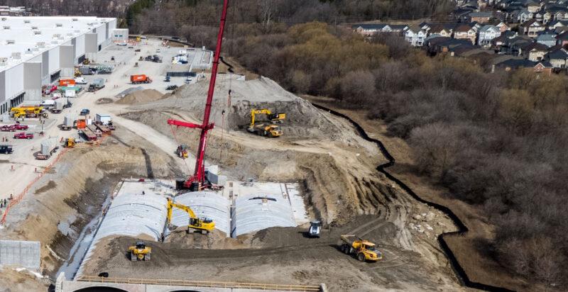
Getting high-quality preliminary data at the start of a development project is crucial to a successful kick-off. For Zack getting his hands on the data he needed was a cumbersome and expensive process that involved hunting through unfriendly government databases and then spending hours processing data into something he and his team could work with.
“Previously, We obtained data through an online data store which carried DEM files and later, LIDAR files. The DEM files were not very detailed. The LIDAR files were very expensive and difficult to work with. For one particular project, I obtained several tiles of LIDAR data for a site in Ajax in 2019.
This cost me hundreds of dollars and then took hours to stitch together and manipulate to have a working surface that didn’t have 8,000,000 data points. In the end, the surface was unworkable. This was very frustrating and caused delays in our project.”
Life after Equator
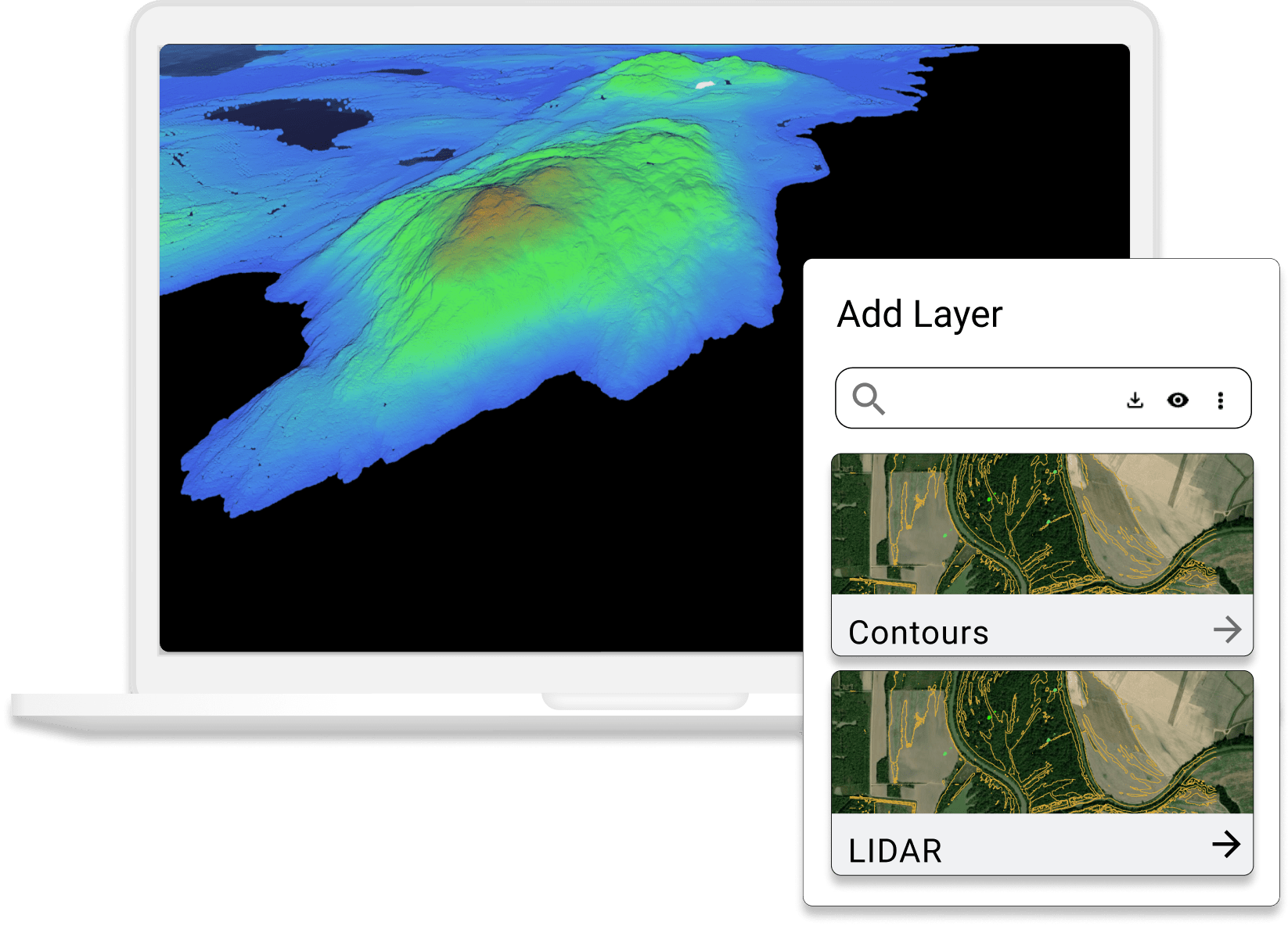
Zack used Equator to access cm-accurate Lidar data for his projects in a matter of minutes, saving him hours of frustrating processing and project delays. He also improved his bottom line because Equator comes at a fraction of the cost of hiring surveyors or paying for data online. Equator is now Zack’s go-to preliminary data source for his development projects.

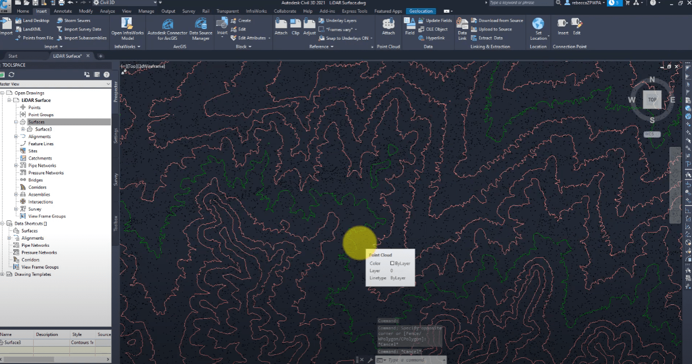
“I discovered Equator in early 2021 and now use it routinely for obtaining preliminary topographic information in AutoCAD Civil 3D. I can now obtain high-quality LIDAR topographic information for my sites of interest and have a georeferenced working surface in Civil 3D in a matter of minutes.
The Equator interface makes obtaining this information simple and user-friendly and the staff has been very helpful throughout the use of this service. They are quick to respond to inquiries and are constantly innovating their product to improve the quality of service.”

While the LIDAR data may not replace the quality of a professional survey, it is very valuable. There is one site I have in Toronto that we have not able to get a surveyor over there for months – it is still not done. We made a first submission using LiDAR data obtained through Equator.
Zack, Civil Engineer in Toronto, Canada
Avoid project delays with Equator
Stop wasting hours scouring the internet for quality data. Engineers that use Equator get their projects off the ground faster, cut their downtime, and close more business.
10x
Faster data sourcing
20K+
Users around the world