What is land surveying?
Land surveying is the practice of measuring and mapping the land surface. Surveying is used to determine the precise boundaries of a piece of land, as well as the location of natural and man-made features on the land. Surveying is typically performed by professional land surveyors, who use specialized equipment, such as total stations and GPS receivers, to measure and map the land. Surveying is used in a variety of applications, including land development, construction, and land management.
What are the different ways of doing a land survey?
There are several different methods that can be used to survey land, including the following:
1. Geodetic surveying: This method uses satellite measurements to determine the size and shape of the Earth, as well as the precise location of points on the Earth’s surface.
2. Plane surveying: This method involves measuring and mapping the land using two-dimensional horizontal and vertical planes.
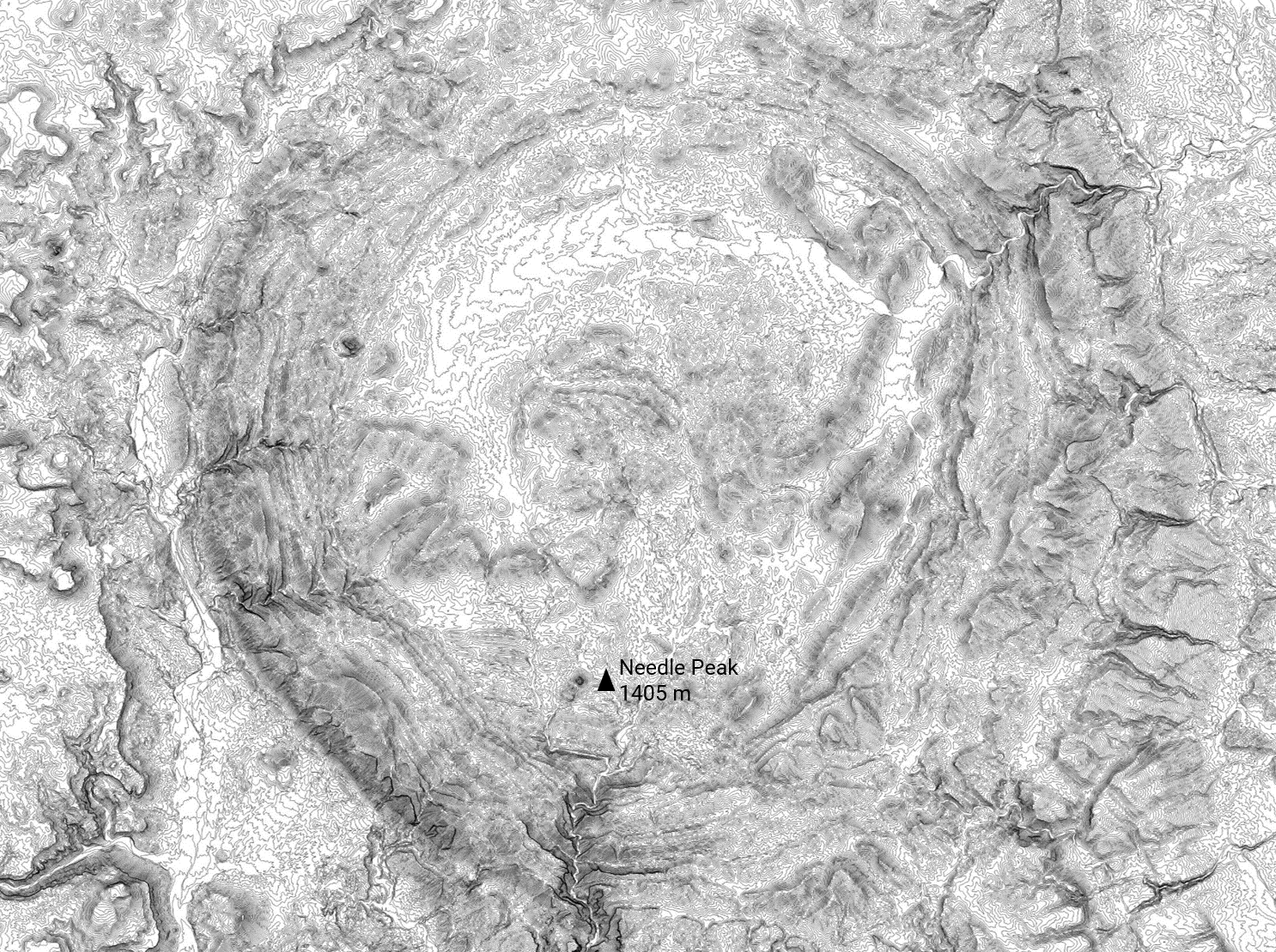
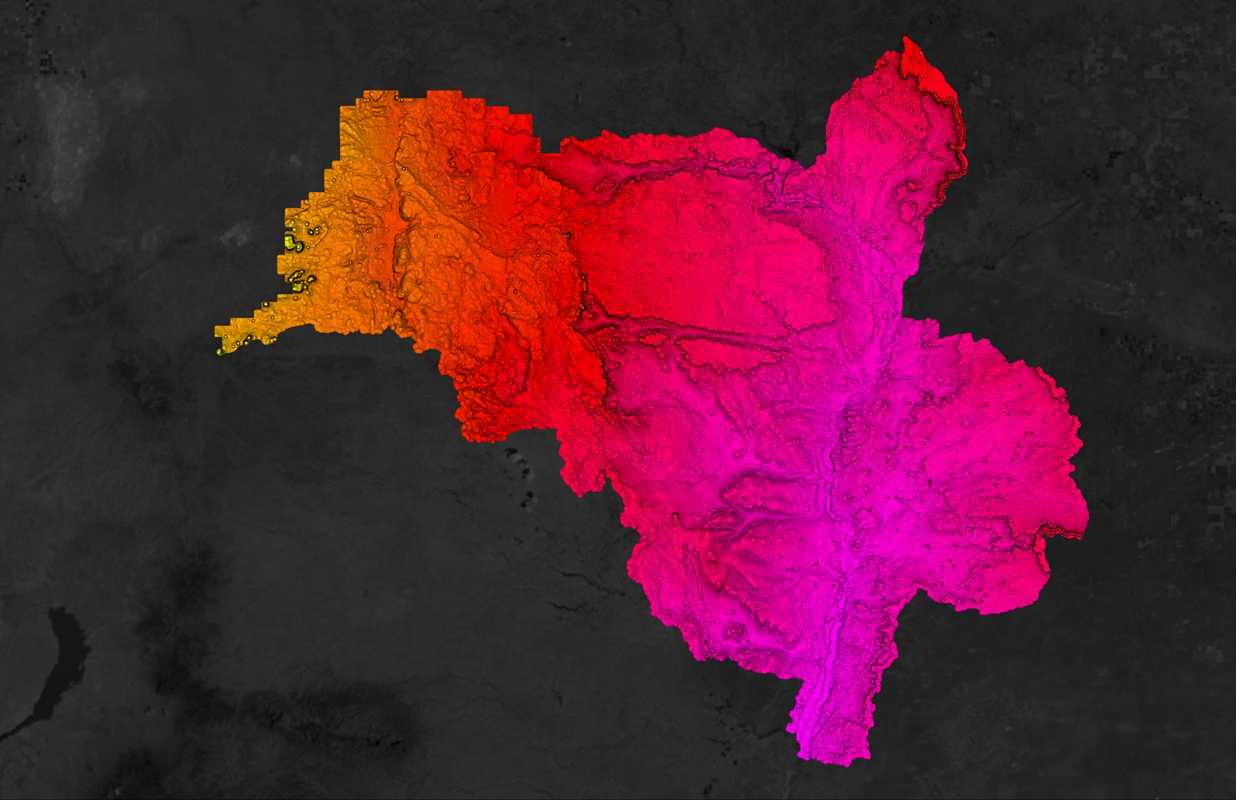
3. Topographic surveying: This method involves creating a detailed map of the land surface, including natural and man-made features such as elevation, bodies of water, and buildings.
4. Hydrographic surveying: This method involves measuring and mapping the land and water bodies, including the depth of bodies of water and the location of underwater features.
5. Cadastral surveying: This method involves surveying land for the purpose of creating land ownership records, including property boundaries and the location of buildings and other structures.
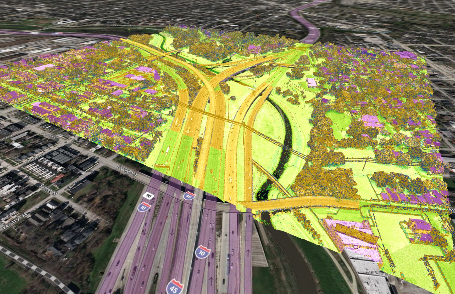
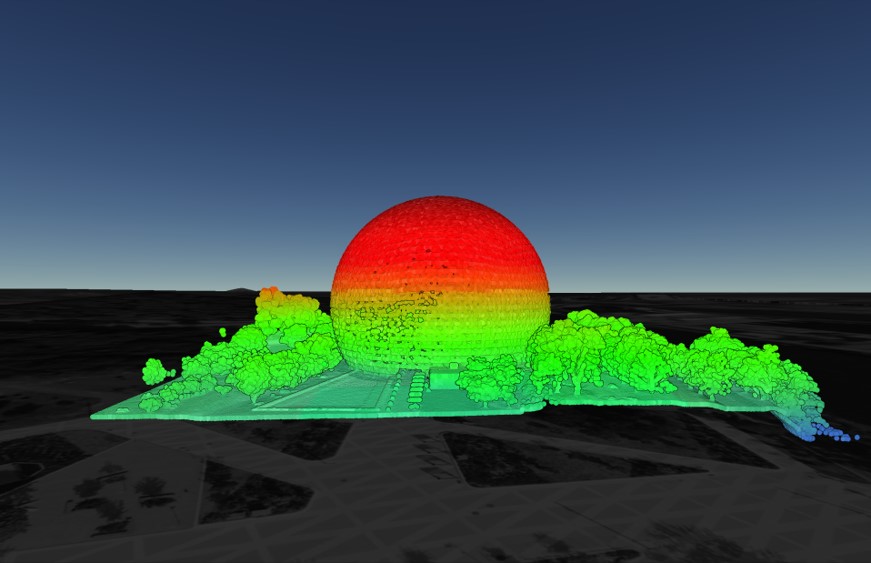
6. Geospatial surveying: This method involves using satellite imagery and other geospatial data to create maps and models of the land surface.
7. Mobile mapping: This method involves using vehicles equipped with sensors and cameras to collect data about the land and create maps and models.
What equipment is required to do a land survey?
A topographic survey involves creating a detailed map of the land surface, including natural and man-made features such as elevation, bodies of water, and buildings. The equipment used in a topographic survey may include the following:
1. Total station: A total station is a surveying instrument that combines a theodolite (an instrument used to measure angles) with an electronic distance meter (EDM). It is used to measure angles and distances, and can be used to create a map of the land surface.
2. GPS receiver: A GPS receiver is a device that uses satellite signals to determine its location. It can be used to collect data about the location of points on the land surface.
3. Level: A level is an instrument used to measure the height of points on the land surface relative to a reference point. It is often used in conjunction with a total station to create a detailed map of the land surface.
4. Tripod: A tripod is a three-legged stand that is used to support surveying instruments such as total stations and levels.
5. Data collector: A data collector is a device that is used to store and analyze survey data. It may be a standalone device or a software program installed on a laptop or other computer.
6. Surveyor’s tape: A surveyor’s tape is a long, flexible tape measure that is used to measure distances.
7. Compass: A compass is an instrument used to determine direction. It is often used in conjunction with a map to navigate to survey points on the land.


