
Generating LiDAR point clouds on the fly
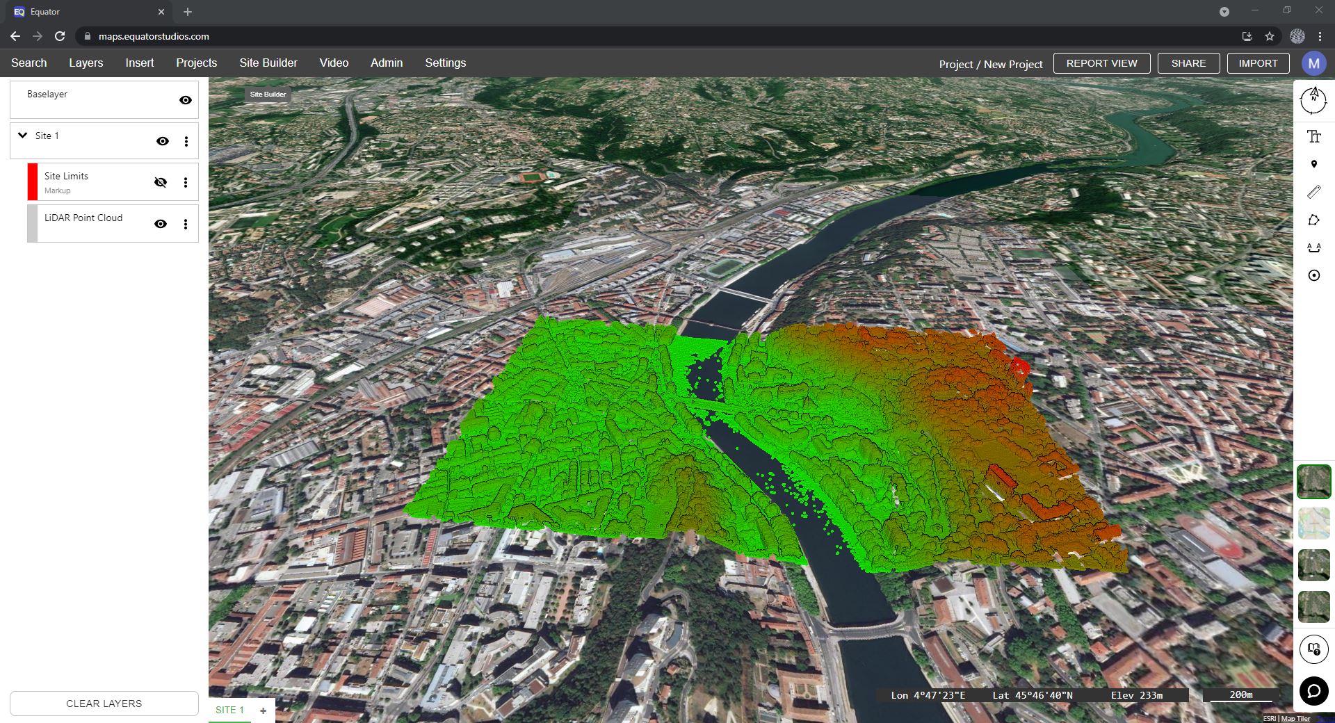
Using Equator, anyone can download USGS LiDAR in just a few clicks. Simply draw a polygon around your site, specify the resolution and generate a point cloud for your project faster than ever before! No surveyor required.
High-resolution elevation data
Equator generates point clouds from high-resolution elevation data, using built-in public LiDAR data sets for Canada and the United States. We start with the best available data, sometimes accurate to a few centimeters! Quickly and easily process LiDAR right in your browser from trusted government sources like USGS.

Easily download LiDAR
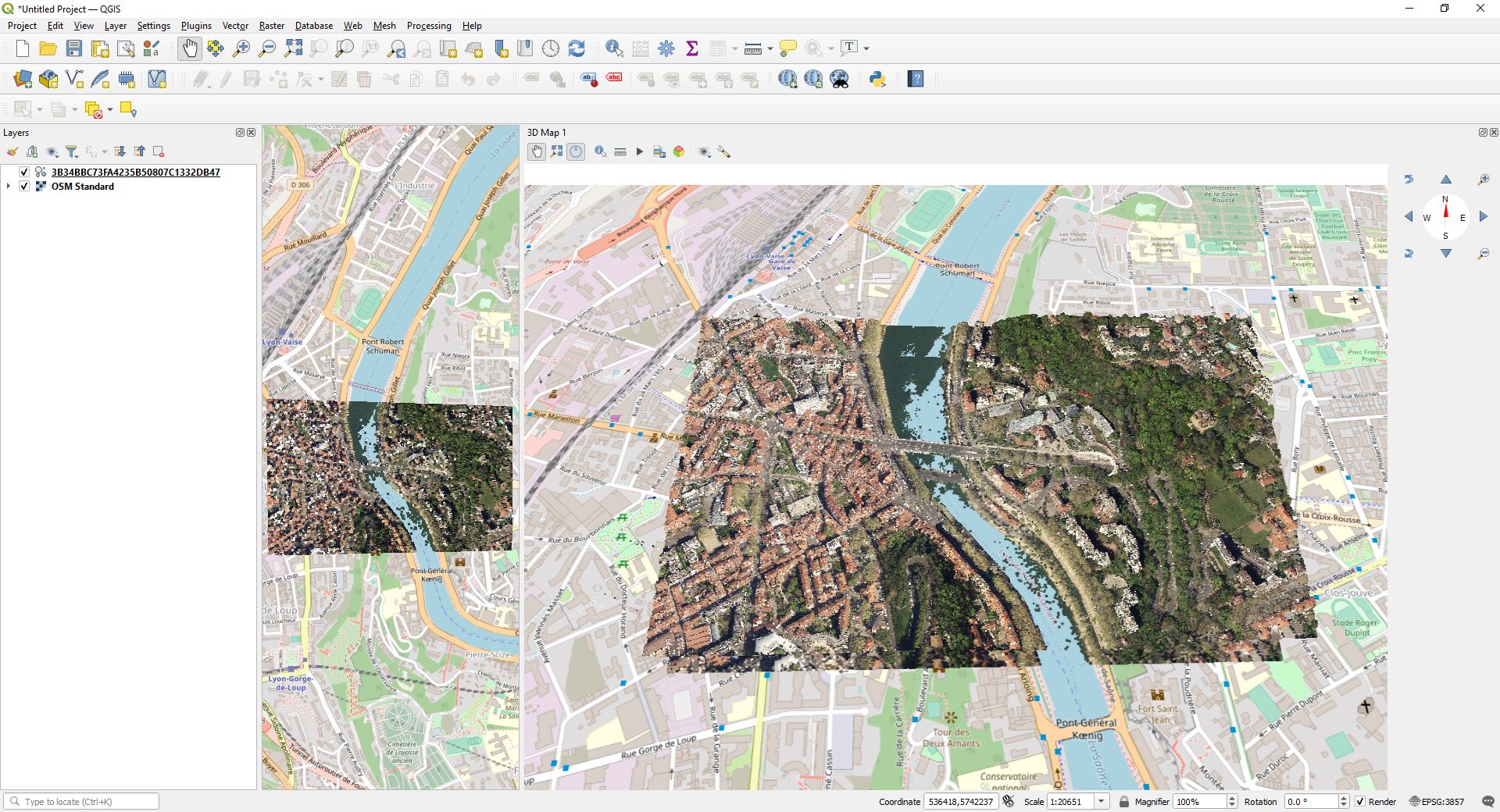
Do you need to extract LiDAR data for a location? No problem! Download USGS LiDAR as a LAZ file and import it into your software in minutes. Visualize your project site on day one, without waiting for ground surveys.
View massive point clouds instantly
Tired of waiting for a LAZ file to download or render? When you export a point cloud in Equator, you can view LiDAR data instantly, right in your browser, and share it with others with just a few clicks.

Next-generation LiDAR software
No other platform allows users to view and download LiDAR data this easily. Download USGS LiDAR data in minutes with Equator!