Spatial Data Library – Supported Formats
Equator’s Data Library contains thousands of open spatial datasets from around the world, available for free download or use in our GIS software. Our data library hosts:
- Shapefiles
- KMZ Files
- GeoJSON Files
- OSM Files
- Maps
- Orthoimagery (TIFs)
- LiDAR point clouds
- Digital Elevation Models (DEMs)
- Digital Surface Models (DSMs)
- Contour Files

View a wide range of file types with Equator’s GIS software. Supported file types that can be viewed without conversion includes:
-
Shapefiles / shp files (.shp, .prj, .dbf, zipped or unzipped)
-
Keyhole Markup Language / kmz files (.kml and .kmz)
-
LiDAR Pointcloud / las files (.laz and .las)
-
GeoJSON files
-
OpenStreetMap files (.osm)
Equator allows you to instantly view data from our Shapefile Library, or simply drag and drop your own files. View data on our built in HD 3D topography layers, and create your own shapefiles with our markup tool.
A shapefile (.shp) is a data format for storing the attribute data of geographic features and their geometric coordinates. This file format actually consists of three file types stored in one folder:
.shp, which contains the vertices of the object.
.shx, which contains the index that connects the structures in the .shp file.
.dbf, which contains the associated attribute data in xBase format.
Shapefile vector data represents geographic features on your map in three forms – points, lines, and polygons.
Keyhole Markup Language (KML) is a geospatial file type developed for use with Google Earth (orginally Keyhole Earth Viewer). KML files can be used for visualization within two and three dimensional map browsers.
KML files display feautures on map surfaces by specifying a set of parametres in the file, including place marks, text descriptions, polygons, 3D models and simple images. For more complex 3D data, the language within the file may specify for tilt and altitude, essentially producing a camera-type view of the data.
KMZ files contain KML files that have been zipped into a single folder for portability, with a .kmz file extension.
GeoJSON files represent simple geographic features, stored in a standard open format based on Java Script Object Notation (JSON).
Similar to a shapefile, GeoJSON files represent data in three formats – points, lines and polygons. They may also contain multipart collections of point, line string, or polygon features.
GeoJSON files uses the World Geodetic System 1984 coordinate system for geometric refrencing.
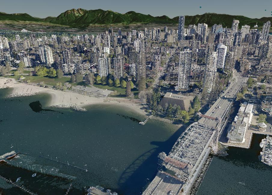
LiDAR (Light Detection and Ranging) is a remote sensing technique for measuring distances using a high intensity laser. This laser pulses between the LiDAR device and the surface you are measuring, creating a dense and highly accurate measurement of the surface you are measuring. LiDAR systems are typically deployed using an aircraft.
LiDAR scanners take x, y, z measurements of a surface,, and once they are combined with positioning information from the GPS device, this data can produce highly accurate measurements of 3D surfaces.
After the data is processed and georefrenced with the positioning data, the resulting data is referred to as a ‘point cloud’. Point clouds are stored in a file structure know as las or .las (and .laz when compressed).