Memphis Topographic Map
The topographic map of Memphis with the highest accuracy on the internet.
Find, create and share high-resolution topographic maps using Equator.


Can I export data from Equator? Can I import data into Equator?
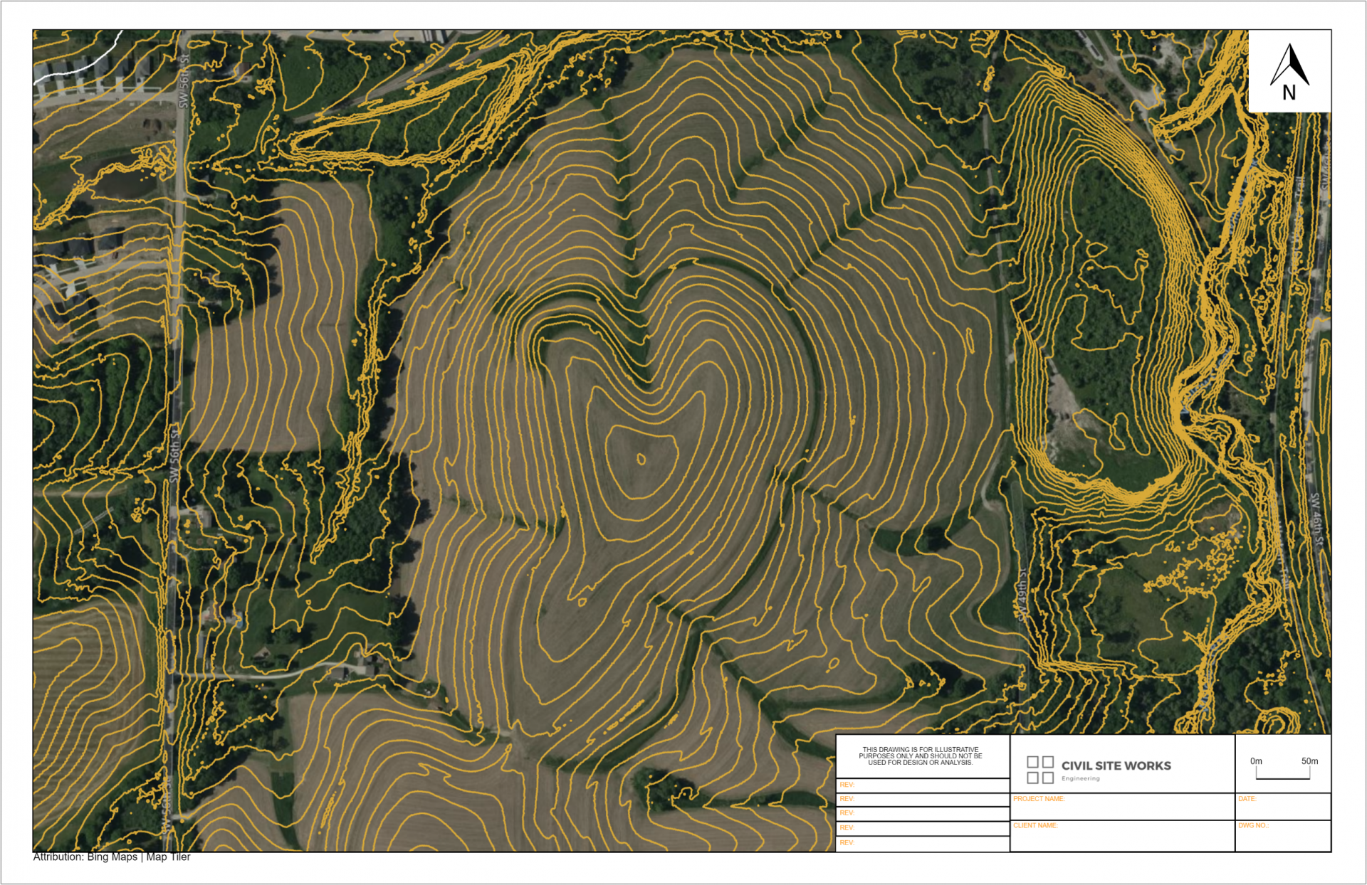
You define the export area, in any shape. Simply draw a polygon around your site. Bring in files from your computer, stack layers on top of each other and customize how they look.
Professionals use Equator to export data directly into a CAD format. This saves them hours of hunting down data, organizing and drafting that data. Equator provides easy access to the South Carolina topographic map.
Try Equator today and start extracting topographic data for free.


Where is the topographic data sourced from?
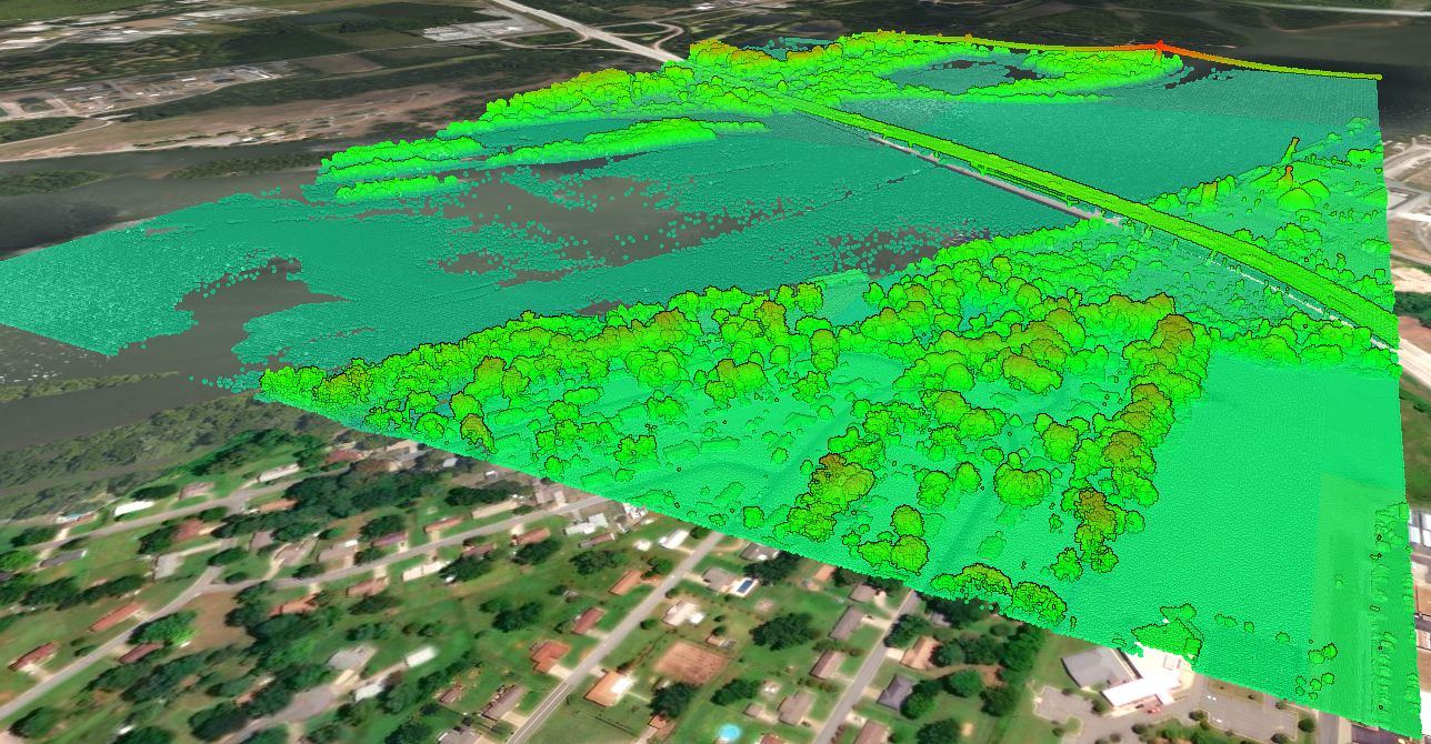
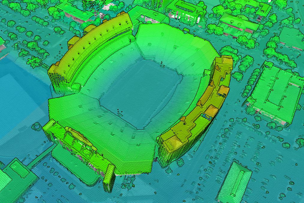
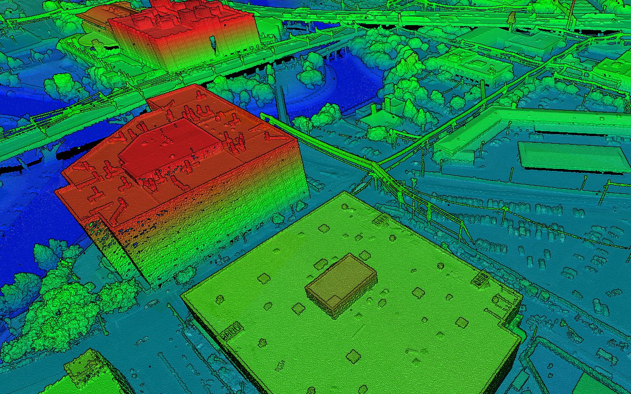
The Memphis topographic data is sourced from the United States Geological Survey (USGS), specifically their 3D Elevation Program (3DEP). You can read more about the 3DEP here. In general, built-in Memphis elevation data is sourced from a library of airborne LiDAR surveys that are managed by the USGS, and connected to Equator for easy access.


Can I bring contours into Civil 3D?
Contours can be opened in AutoDesk Civil3D (or similar) simply by opening an dxf file or shapefile exported from Equator. This tutorial explains how to create a 3D surface in Civil 3D directly from a shapefile.

Why should I use Equator to access Memphis Topography?
Equator allows users to access local LiDAR surveys in the best available resolution. Experience 3D topography in high-resolution, unlike ever before.