Why do civil engineers, planners, and designers use Equator to create base plans?
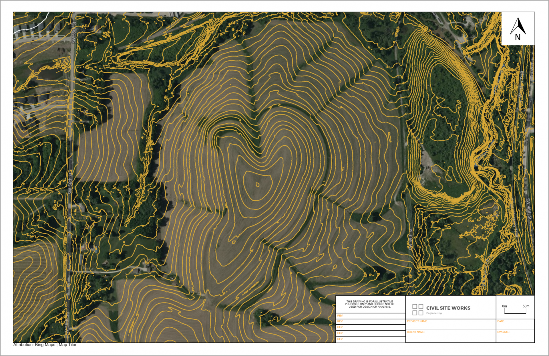
Equator provides professionals quick access to the Mississippi topographic map. Using Equator, professionals can export elevation data directly into a CAD format.
Try Equator today and start saving days searching, organizing and formatting data.


Better access to elevation insights
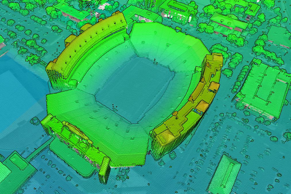
Generate cross sections from the topography in Equator, or exported for use in other CAD software. The best available topographic data for the State of Mississippi is accessible now in the Equator platform.

Where does Equator source topographic data?
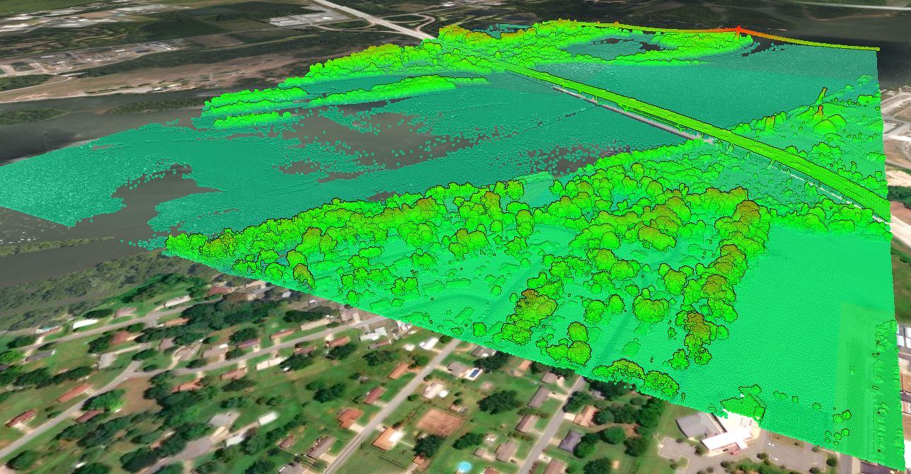
The United States Geological Survey (USGS), specifically their 3D Elevation Program (3DEP) manages the nations public LiDAR dataset. You can read more about the 3DEP here. In general, the built-in point clouds are sourced from a library of airborne LiDAR surveys that are managed by the USGS, and connected to Equator for ease of access.

Locations
Adams County
Alcorn County
Amite County
Attala County
Benton County
Bolivar County
Calhoun County
Carroll County
Chickasaw County
Choctaw County
Claiborne County
Clarke County
Clay County
Coahoma County
Copiah County
Covington County
DeSoto County
Forrest County
Franklin County
George County
Greene County
Grenada County
Hancock County
Harrison County
Hinds County
Holmes County
Humphreys County
Issaquena County
Itawamba County
Jackson County
Jasper County
Jefferson County
Jefferson Davis County
Jones County
Kemper County
Lafayette County
Lamar County
Lauderdale County
Lawrence County
Leake County
Lee County
Leflore County
Lincoln County
Lowndes County
Madison County
Marion County
Marshall County
Monroe County
Montgomery County
Neshoba County
Newton County
Noxubee County
Oktibbeha County
Panola County
Pearl River County
Perry County
Pike County
Pontotoc County
Prentiss County
Quitman County
Rankin County
Scott County
Sharkey County
Simpson County
Smith County
Stone County
Sunflower County
Tallahatchie County
Tate County
Tippah County
Tishomingo County
Tunica County
Union County
Walthall County
Warren County
Washington County
Wayne County
Webster County
Wilkinson County
Winston County
Yalobusha County
Yazoo County