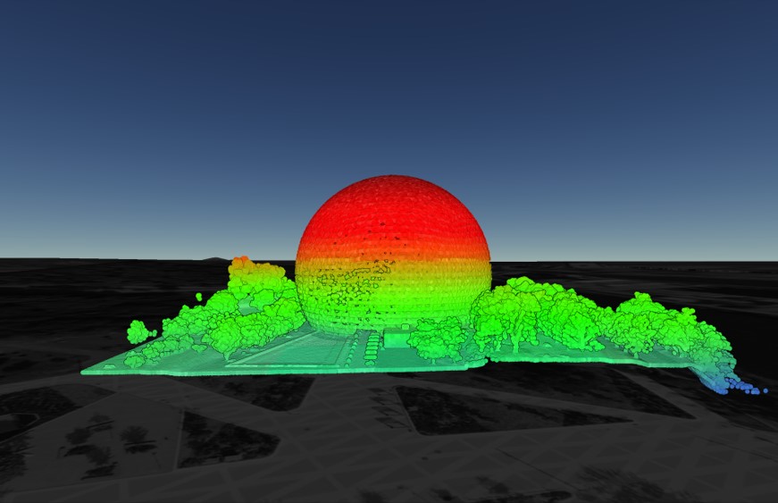
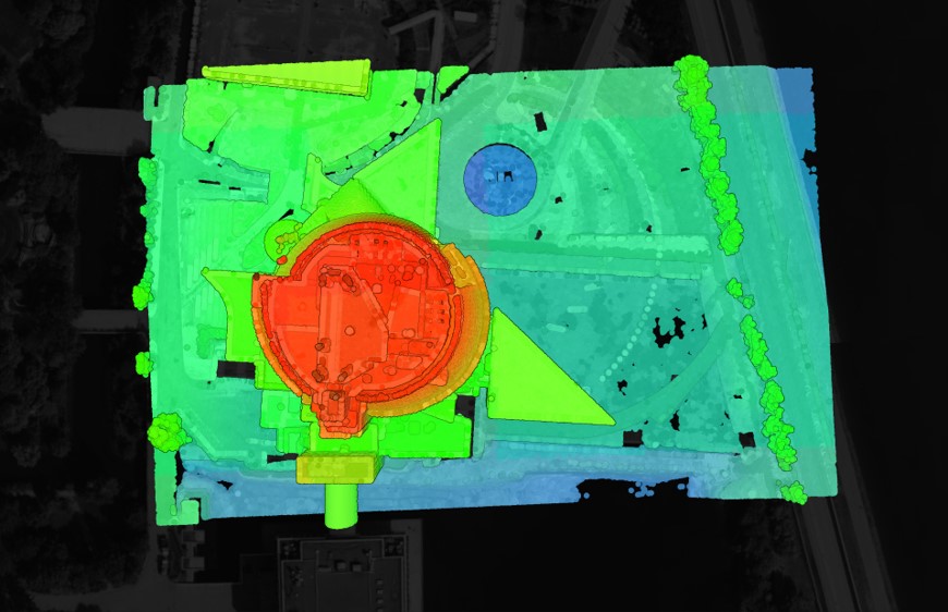
Where does Equator source the data?
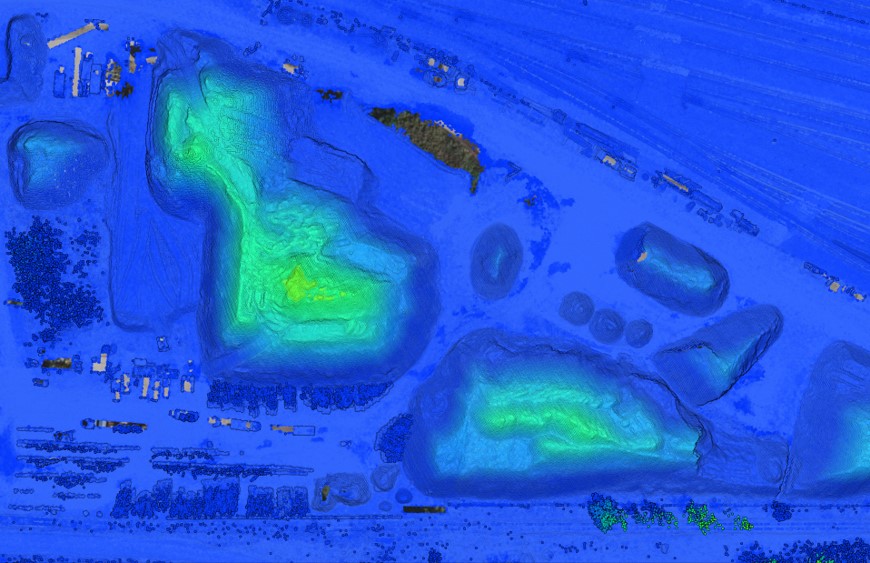
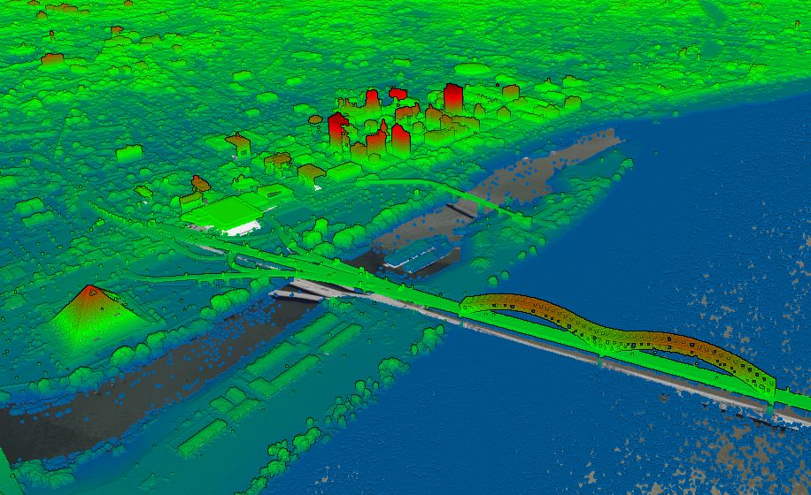
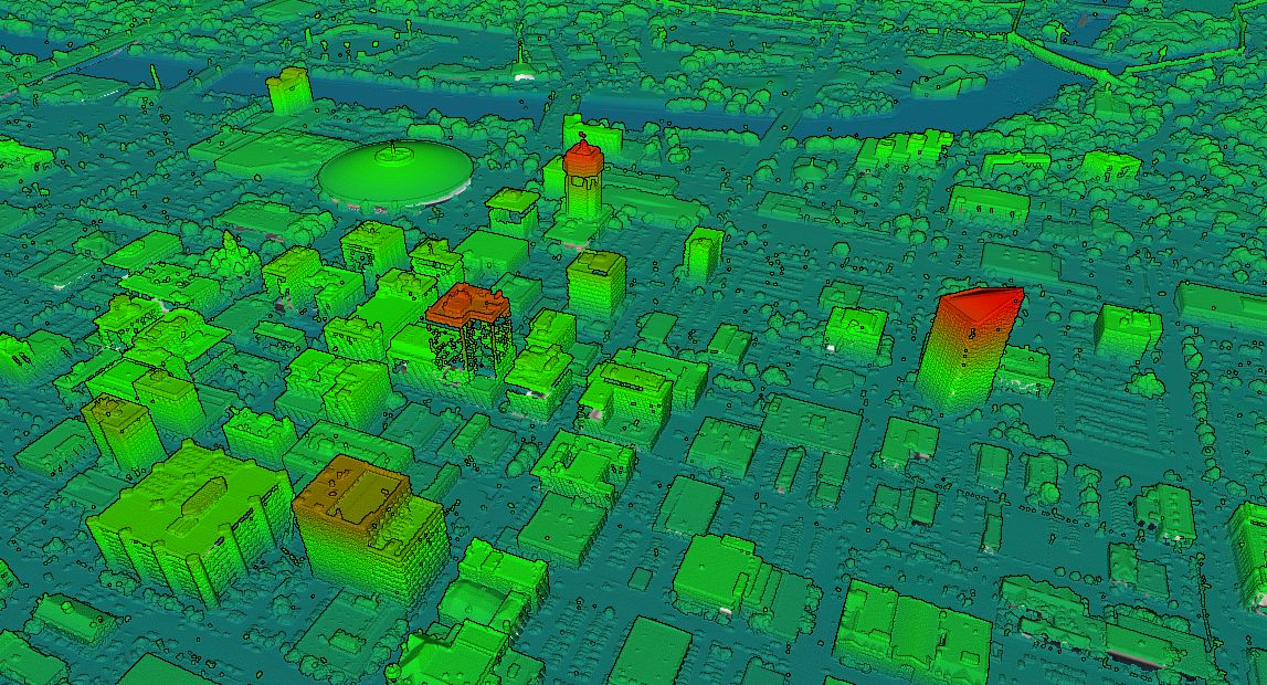
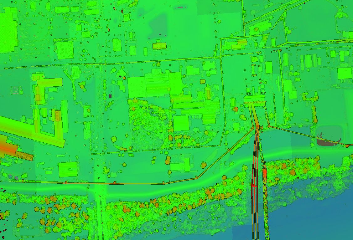
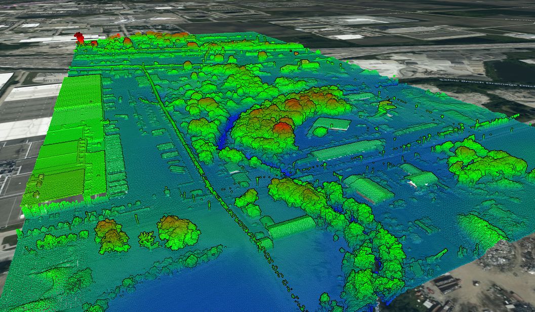
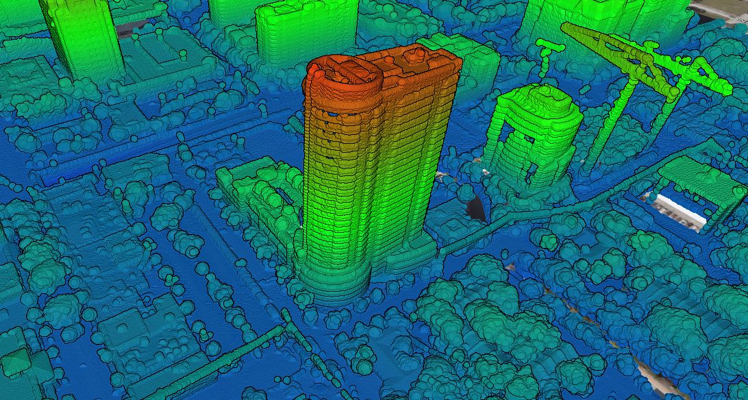
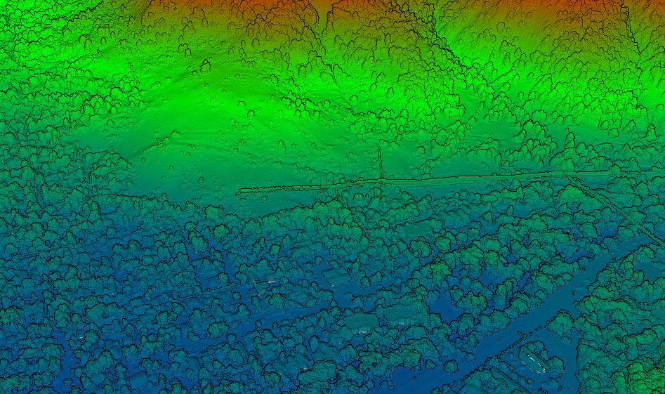
The LiDAR data provided through Equator is sourced from the City of Montreal Open Data Portal. The data was published online in 2015 and consists of millions of high-resolution 3D elevation points. You can read more about the dataset here.
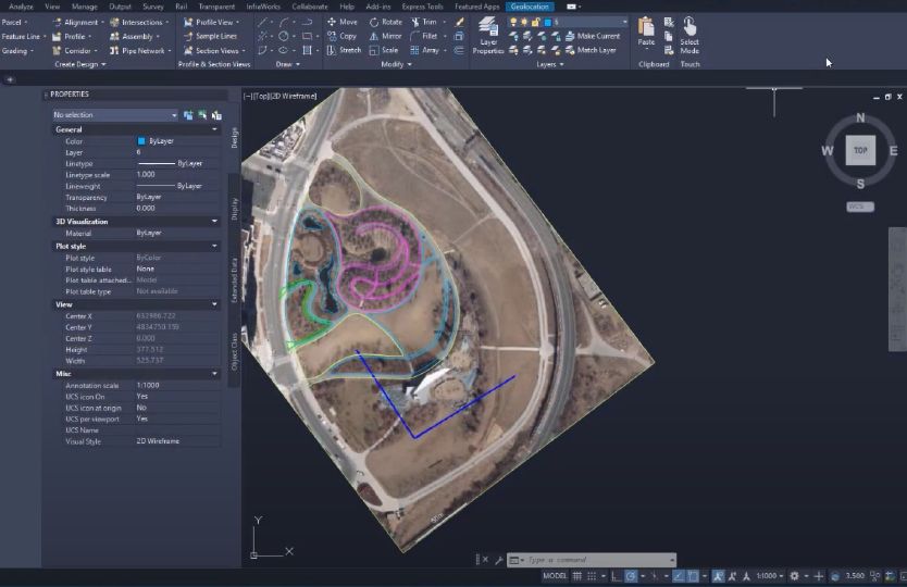
How do I bring contours into Civil 3D?
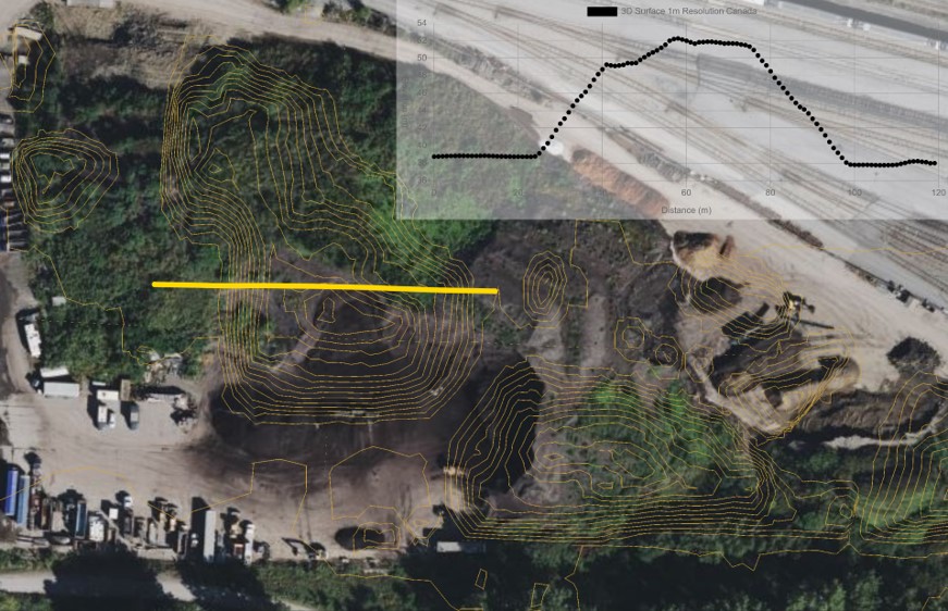
Contours can be opened in AutoDesk Civil3D (or similar) simply by opening an dxf file or shapefile exported from Equator. This tutorial explains how to create a 3D surface in Civil 3D directly from a shapefile.
How do I get started using LiDAR in Equator?
Check out the video below to learn more and start viewing and exporting data right now.
