Blog
Keep up to date with the latest from Equator and the HD mapping world

Slope Stability: How EAL uses Equator to source topography
How Egmond Associates Ltd. uses Equator to source topographic data and complete slope stability assessments faster Overview Founded in 1987, Egmond Associates Ltd (EAL) offers engineering services in Slope Stability, Environmental, Geotechnical, Hydrogeological, and Hydrological Assessments. They have completed thousands of investigations across Canada and the United States. With over 30 years of industry experience, they have honed their skills to include
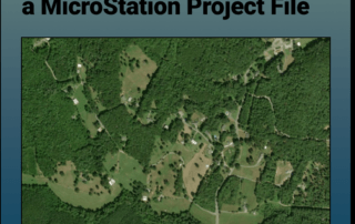
Attaching an orthoimage to a MicroStation File
Tutorial: Attaching a RASTER (Orthoimage) to a MicroStation Project File In this tutorial, learn how to attach an orthoimage (GeoTIFF file exported from Equator) to a MicroStation project file Step 1: Source and download your orthoimage Step 2: Open MicroStation project and attach GeoTIFF Raster Download Your Site's Orthoimagery Here Attach an orthoimage (GeoTIFF Raster File) of your project site to your
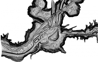
Toronto Topographic Map: view and extract detailed topo data
Toronto Topographic Map The most detailed topographic map of the City of Toronto accessible online. View, share and extract high-resolution topographic data using Equator. Try Now Who is the map for? Equator shares high-resolution topographic data to a variety of end users. Typical users include: Civil Engineers Planners Construction Professionals Landscape Designers Real Estate Agents Try Now
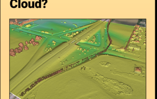
LiDAR Point Cloud
What is a LiDAR Point Cloud? What is it: A LiDAR (Light Detection and Ranging) point cloud is a collection of data points in three-dimensional space that represents the precise locations of objects and surfaces within the scanned area. LiDAR technology uses laser pulses to measure distances to objects or surfaces. It can do so at such a rapid rate that it
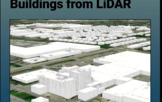
Extract 3D Buildings from LiDAR Data in ArcGIS Pro
Extract 3D Buildings from LiDAR Data in ArcGIS Pro This Equator and ArcGIS Pro Tutorial guides you through how to create realistic 3D buildings using a LiDAR point cloud, or LAS file There are 8 steps in this tutorial, beginning with sourcing a LiDAR point cloud and finishing with creating realistic 3D buildings in ArcGIS Pro. Essentially, this takes you through how to digitize
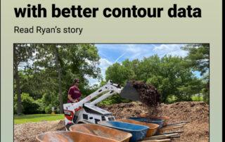
How Ryan’s Foodscape Designs Flourish with Better Contour Mapping in Equator
How Ryan's Foodscape Designs Flourish with Better Contour Mapping in Equator About Ryan Albritton: Design and Foodscape Manager Company: Custom Foodscaping (https://www.customfoodscaping.com/) Location: St Louis, Missouri Ryan Albritton Meet Ryan: edible landscape and permaculture design expert Custom Foodscaping helps residential and institutional clients design and create edible landscaping and permaculture on their properties. As a
The Future of Mapping & Spatial Design
The Future of Mapping & Spatial Design Leveraging real-time collaboration in online mapping to bring remote teams back together By: Rebecca Swabey The global health pandemic has highlighted and accelerated radical transformations in many industries. For some, this change has been in the works for a long time. But many others have been forced to innovate in short order. Through this change, there is
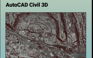
Create Surfaces and Profiles in AutoCAD Civil 3D
Create a Surface and Profiles Along the Surface in Civil 3D Use Equator to source a Contour Drawing File (.dwg) that can easily be brought into AutoCAD Civil 3D to create a surface. Then use your newly constructed surface to create an alignment and profiles. Step 1: Source Your Contour Data Step 2: Create a TIN Surface Step 3: Choose Your Surface Style Step 4:
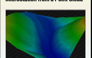
Creating a Mesh from Point Clouds in MicroStation
Tutorial: Creating a 3D Mesh from a Point Cloud in Bentley MicroStation In this tutorial, learn how to create a 3D surface mesh in MicroStation from a LiDAR point cloud (.laz file) exported from Equator Step 1: Source a LiDAR Point Cloud Step 2: Import LiDAR Point Cloud (.laz) into MicroStation and Create 3D Mesh Part 1: Set Up MicroStation Workspace Part 2: Import
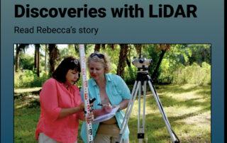
How Rebecca finds archeological discoveries faster with LiDAR and Equator
How Rebecca uncovers hidden history with Equator and LiDAR! About Rebecca: Founder, Principal Investigator and Executive Director Organization: Smyrnéa Archaeological Research Institute (SARI) Location: Florida Meet Rebecca! Rebecca is the founder, principal investigator and executive director of Smyrnéa Archaeological Research Institute (SARI) in New Smyrna Beach, Florida (pictured here with Vice President of Research

AutoCAD vs Civil 3D
AutoCAD vs Civil 3D Which one is right for you? We have a lot of questions come through our help chat about AutoCAD or Civil 3D, which one is better and which one should I purchase? The answer to that is completely dependent on your intended use of the product. Download Topography Data for AutoCAD or Civil 3D Both

How to Convert LAZ to LAS
Tutorial: How to Convert LAZ Files to LAS Files Definitions Source LAZ File Convert LAZ to LAS Definitions Point Cloud - A point cloud is a set of data points representing 3D shapes or objects in a physical 3D space. They contain the most reliable 3D data possible. Click Here for Point Clouds LAS File - .las is
LiDAR – Accuracy vs. Resolution
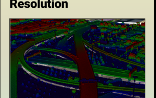
LiDAR - Accuracy vs. Precision Understanding the difference between LiDAR Accuracy and LiDAR Precision LiDAR technology has revolutionized the way we collect and analyze geospatial data. It's a powerful tool for so many different applications, from self-driving cars to forestry management and urban planning. To fully leverage the potential of LiDAR technology, it is crucial to understand the difference between accuracy and resolution,

Export Data from Garmin Connect and Import it into Equator
Tutorial: Export Data from Garmin Connect and Import it into Equator Learn how to create a custom map to showcase a special hike, run or ride Have you ever participated in a race that left an unforgettable impression on you or accomplished a personal best time that you were eager to showcase to the entire world? Have you ever embarked on an awe-inspiring hike and
Features of a Topographic Map
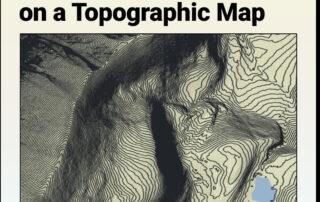
Features of a Topographic Map Topographic maps use contour lines to show different bare earth elevations and landforms such as hills, mountains and valleys. When reading topographic maps and contours, it is important to remember that contour lines connect points of equal elevation and never intersect. Common features that can be identified through the pattern of contour lines is outlined below.
Unsupervised Image Classification with QGIS and SCP Extension
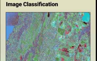
How to Complete an: Unsupervised Image Classification with QGIS and SCP Extension Unsupervised image classification is a remote sensing method used to classify raster images without predefined (human input) training data. It uses clustering algorithms to group raster pixels with similar spectral properties. The user can assign land-cover classes to each cluster once the process has finished. Image classification is used in land-use

How to Import Your Point Cloud into InfraWorks
Tutorial: Import Your Point Cloud into InfraWorks Learn how to bring your LiDAR point cloud (.laz) into AutoDesk InfraWorks in a few easy steps. Step 1: Source Your LiDAR Point Cloud If you don't have a .laz file already, you can easily download it from Equator. Step 2: Import Your Point Cloud into InfraWorks LiDAR Point Cloud

How to Import Your DEM Into HEC RAS
Tutorial: How to Import Your DEM Into HEC RAS Learn how to set your HEC RAS project up and bring your DEM into HEC RAS Part 1: Find and export your DEM from Equator Create a Site Generate a DEM Download your DEM Part 2: Set your project up in HEC RAS and import your DEM Set Up a New Project Create a New
Top Free LiDAR (LAZ) Data Sources
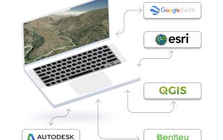
The Top Free LiDAR (LAZ) Data Sources How To Find The Best Point Cloud Data! Our mission at Equator Studios is to help our users find the best LiDAR data for their projects. We've scoured the internet for data so you don't have to! Equator combines thousands of scraped data sources onto one map, making it easier than ever to find the best data
Topographic Surveys: LiDAR or Total Station
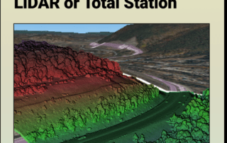
Topographic Surveys: LiDAR or Total Station? Most people think the only way to get an accurate topographic survey is through a total station; here’s why they are wrong. LiDAR Point Cloud from Equator For decades, total station has been the preferred method for precise and accurate surveys in engineering, architecture, and construction. And it has definitely provided the results we
How Tom Accelerated Real Estate Development and saved $30,000 using Equator
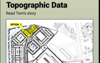
How Tom Accelerates Real Estate Development and saved $30,000 using Equator About Tom: Director of Real Estate Development Location: Kentucky Tom’s Challenge: Finding Accurate and Timely Data Tom works as the Director of Real Estate Development at an engineering consultancy in Kentucky. The engineering consultancy does everything from purchase negotiation, to building design to their own steel
Remote Sensing
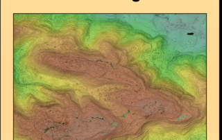
Remote Sensing Active Remote Sensing (LiDAR Point Cloud) of Loyalsock State Forest, Pennsylvania What is Remote Sensing and Why is it so Important? Remote sensing is the science of obtaining information from a distance that relates to the physical properties of the Earth. It uses specialized sensors and instruments to detect and monitor a surface's reflected and emitted electromagnetic
Creating a Mesh from a Contours Drawing in MicroStation
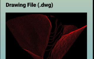
Tutorial: Creating a 3D Mesh from a Contour Drawing in Bentley MicroStation In this tutorial, learn how to create a 3D surface mesh in MicroStation from a topography or contour drawing file (.dwg file) exported from Equator Step 1: Source a contour drawing file Step 2: Import drawing file (.dwg) into MicroStation and create 3D mesh Download Contour Drawing File Here
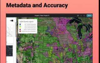
Discover the HIDDEN Accuracy of Your LiDAR Data
Discover the HIDDEN Accuracy of Your LiDAR Data Mastering LiDAR Quality: A Quick Guide to Understanding Metadata and Accuracy It all starts with the USGS LiDAR Quality Levels This legend appears on Equator's interface when you turn on the Elevation Products. But what does it mean? The varying quality levels (QL) are defined by the

Create a Surface in AutoCAD Civil 3D
Tutorial: Create a Surface in Civil 3D Use Equator to source a Contour Drawing File (.dwg) that can easily be brought into AutoCAD Civil 3D to create a surface. Step 1: Source Your Contour Data Step 2: Create a TIN Surface Step 3: Choose Your Surface Style Find Contour Data for your next project Step 1 Source Your