Omaha Topographic Map
The most detailed topographic map of Omaha.
Locate, create and collaborate on high-resolution topographic maps using Equator.


Topographic map features.
The Omaha topographic map can be used for a variety of tasks, including:
- Cutting cross sections on the fly
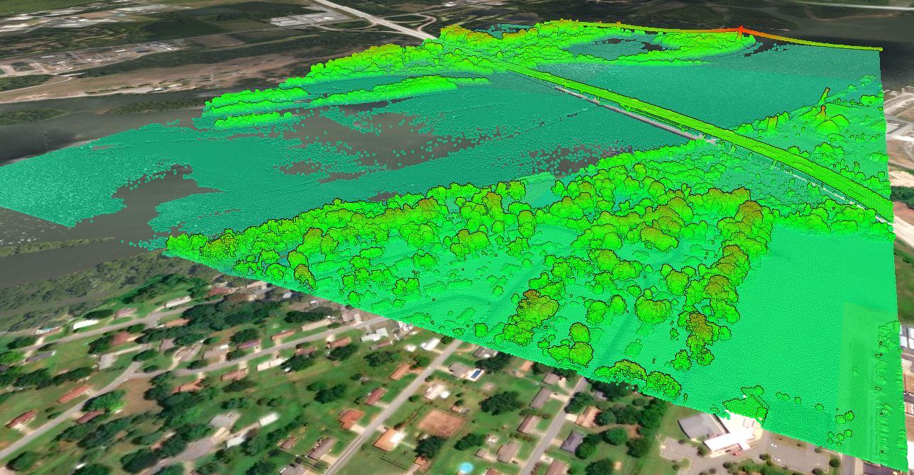
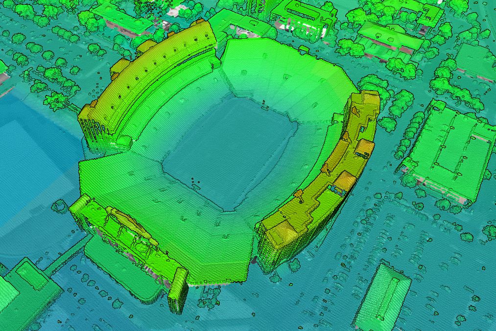
- Viewing 3D surfaces from built-in LiDAR
- Extracting elevation data
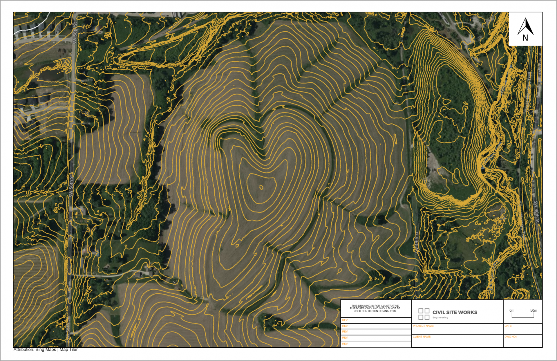
- Generating contours
- Creating markups, labels and figures
- Sourcing and view LiDAR point clouds
- Link sharing data


Where does Equator get the topographic data from?
Equator’s data is sourced from the United States Geological Survey (USGS) and their 3D Elevation Program (3DEP). You can read more about the 3DEP here.
Omaha elevation data is sourced from a library of airborne LiDAR surveys and is connected to Equator for ease of access.


How do I bring contours into Civil 3D?
Contours can be opened in AutoDesk Civil3D (or similar) simply by opening an dxf file or shapefile exported from Equator. This tutorial explains how to create a 3D surface in Civil 3D directly from a shapefile.
Why should I use Equator to access Omaha Topography?
Equator allows users to access local LiDAR surveys to the best available resolution. Experience 3D topography in high-resolution, unlike ever before.