Uncover meaningful location insights and unlock the potential from thousands of maps built right into Equator. Score higher on proposals with better project understanding, without losing billable time. Anyone in the office can do it!
Don’t waste another minute staring at a blank page – understand, brainstorm, then analyze right on the map. Share your map canvas with others and generate ideas in real-time.
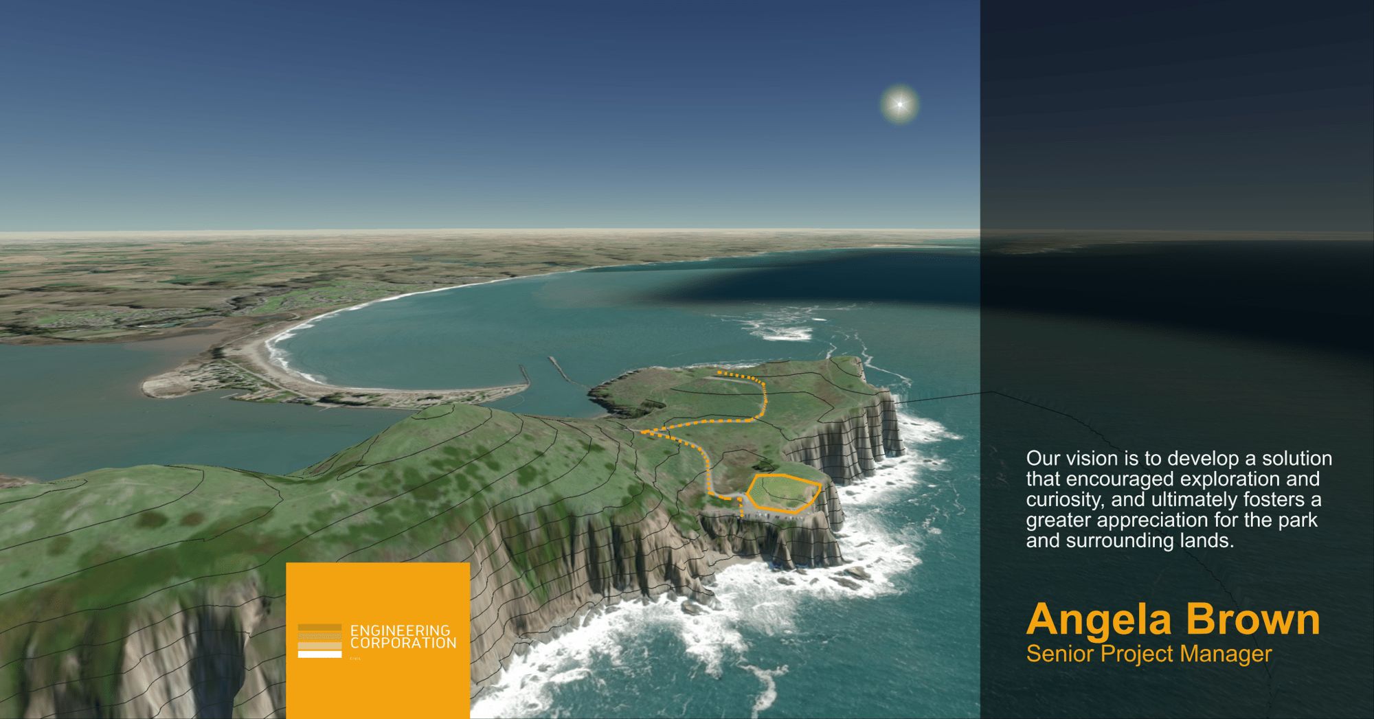
“Leveraging data sourced through Equator, the team identified a key site constraint that was missed in all other competitors proposal submissions. We ended up winning the job.”
Equator was created by Engineers, so we know you how you work, who you work with and the tools you use. We’ve made it easy to integrate into your current workflow and get up-and-running in minutes.
Set up a map canvas in minutes
Integrate with Civil 3D, ArcGIS, and Google Earth data formats
Free for collaboration with your client and sub-consultants
Easily export markups and notes to Civil 3D, ArcGIS, and Google Earth
Works over video calls, including Microsoft Teams and Zoom
Working on a new proposal? Equator helps civil engineering firms increase their technical scores and standout from their competition. We will gladly send you free custom resources to help you come out on top!