Fast-Track Due Diligence

With Equator, Real Estate professionals can carry out site assessments and make property acquisition decisions faster, with better data and more confidence.

Join other real estate professionals on Equator

In the fast-paced real estate market, speeding up site assessments is critical

With interest rates, consumer demand, and economic conditions constantly changing, Real Estate professionals need to move fast to capitalize on opportunities. With everyone fighting for prime properties and bigger returns, quick site assessments are essential - Equator helps with that.

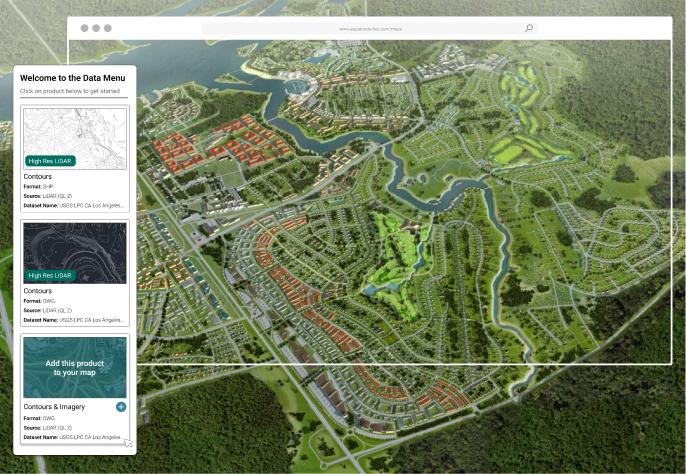
One-stop for site analysis data

There's no time to sift through databases to find the information you need. Get accurate data from a single portal as soon as the property hits the market.

  • Hundreds of built-in GIS data sets
  • Easy-to-use user interface

Improve decision-making with better data

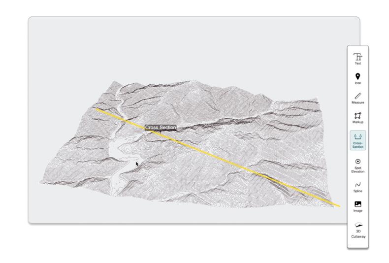
Upgrade from flat aerial views. Experience high-resolution, lidar-derived contours from Equator for unprecedented topographical site detail to support better decision-making.

  • Centimeter accurate topographic maps
  • Cross section, slope and elevation insights

  • Easy map making tools

Faster turnaround time on assessments

Flag drainage issues, identify site constraints and estimate costs with instant access to data in Equator, without leaving the office.

  • Instantly view your site in vivid detail

  • Generate DEMs, contours, point clouds and more!
  • Get data in the right coordinate system for CAD or GIS

Learn how Clint speeds up drainage assessments and real estate decisions with better topographic data

How To

Get Stated as a Real Estate Professional with Equator in 4 Easy Steps

Get data for real estate worflows:

  • Login or Signup for Equator

  • Create New Site

  • Add Data to your site (DEM, contours, point cloud)
  • Download data in the file format you need!