How Resilient Consulting uses Equator to source topographic data for water resources projects
Overview
Challenge
Water resources projects are often located in isolated areas. Access and quality imagery can be limited when working on floodplain mapping, hydrologic modelling, stormwater management and design. A lack of quality background information can make preliminary design inefficient and sometimes even inaccurate. A big reason for this is missed site constraints in planning – especially at the proposal stage!
Solution

“Equator has been a great resource for topographic information when assessing potential bid opportunities. Many sites can require complicated topographic survey which have been assessed using Equator to accurately budget the time for the survey.”
— BECKY TURBITT, PROJECT ENGINEER @ RESILIENT CONSULTING
“Equator has created a one stop shop of available and accessible online data sets. This tool is frequently referenced to assess tricky bid opportunities and to supplement preliminary design. ”
— BECKY TURBITT, PROJECT ENGINEER @ RESILIENT CONSULTING
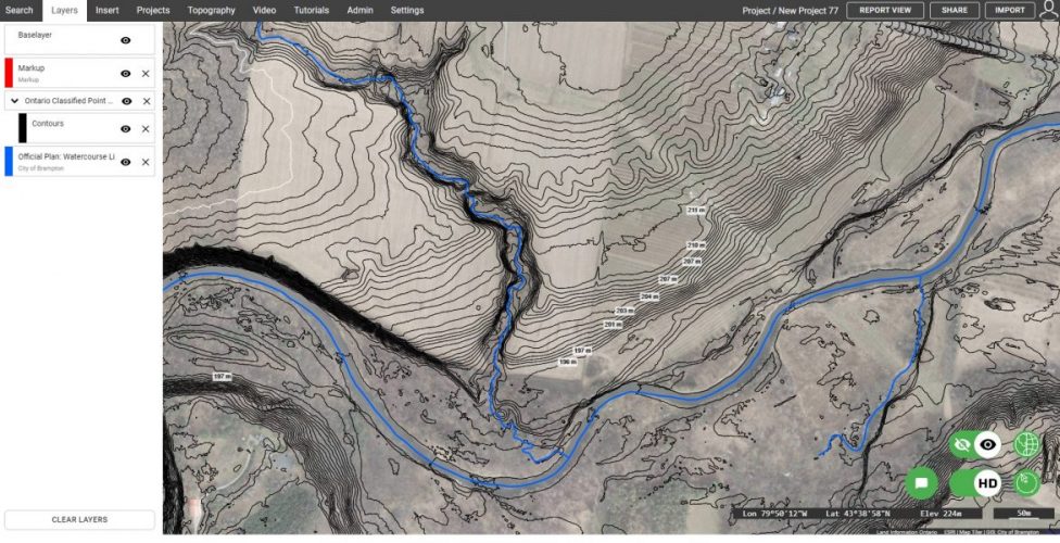
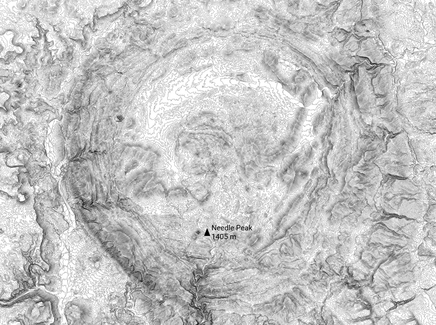
Sample contours (created from Ontario LiDAR) created in Equator, including labels, imagery and watercourses


