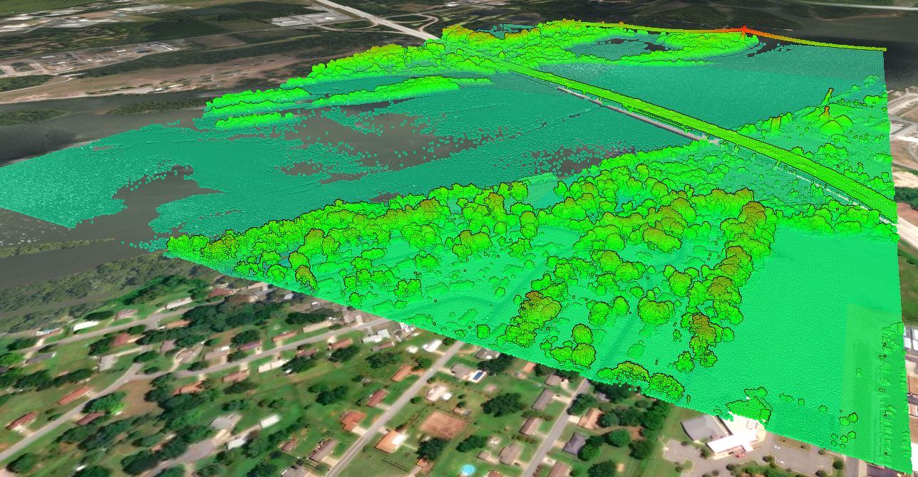
How accurate is the data?
The measured non-vegetated vertical accuracy (NVA) is 0.089 m or 3.5 inches. The vegetated vertical accuracy (VVA) is 0.283 m or 11.1 inches. Vertical accuracy is reported because it is generally less accurate than the horizontal measurement, and as a result, is the limiting factor for application of the data.
Which Texas Counties were covered in the LiDAR Survey?
The counties covered, or partially covered, as part of the South Texas LiDAR acquisition project include:
- Jackson
- Victoria
- Calhoun
- Goliad
- Refugio
- Aranas
- San Patricio
- Nueces
- Kleberg
- Jim Wells
- Duval
- Webb
- La Salle
- Kenedy
- Brooks
- Jim Hogg
- Starr
- Hidalgo
- Willacy
- Cameron


Which Major Cities / Towns were covered in the LiDAR Survey?
The major cities / towns covered, or partially covered, as part of the South Texas LiDAR acquisition project include:
- Cordele
- Edna
- Ander
- Goliad
- Port Lavaca
- Refugio
- Rockport
- Sinton
- Alice
- Kingsville
- Freer
- Benavides
- Cotulla
- Weeb
- Hebbronville
- Falfurrias
- Raymondville
- Rio Grande City
- Harlingen
- Edinburg
- McAllen
- Weslaco
What if this LiDAR doesn’t cover my project site?
Please visit the USGS Topographic Map page on the Equator website to learn more about LiDAR data coverage, and what is available in your area.

Why should I use Equator to access the South Texas LiDAR data?
The old way of viewing topography online is low-resolution and time-consuming. Now you can stream USGS topographic data on the fly, in your browser, at the best available resolution.