How to Open a KMZ file in Google Earth
Equator Students2024-03-24T19:45:00-04:00How to open a KMZ file in Google Earth Opening KML files is
How to open a KMZ file in Google Earth Opening KML files is
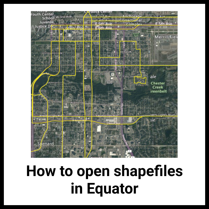
How to open a SHP file in Equator Opening shapefiles and viewing shapefiles
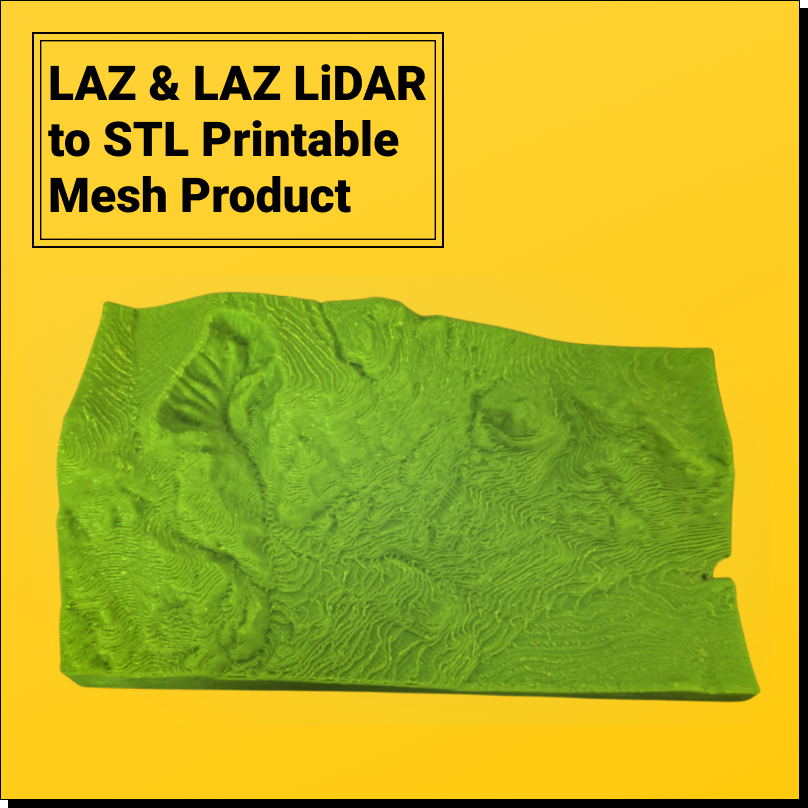
LiDAR (LAS/LAZ) to 3D printable STL model Want to convert LiDAR point clouds
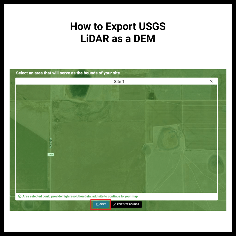
How to export USGS LiDAR as a DEM The easiest way to turn
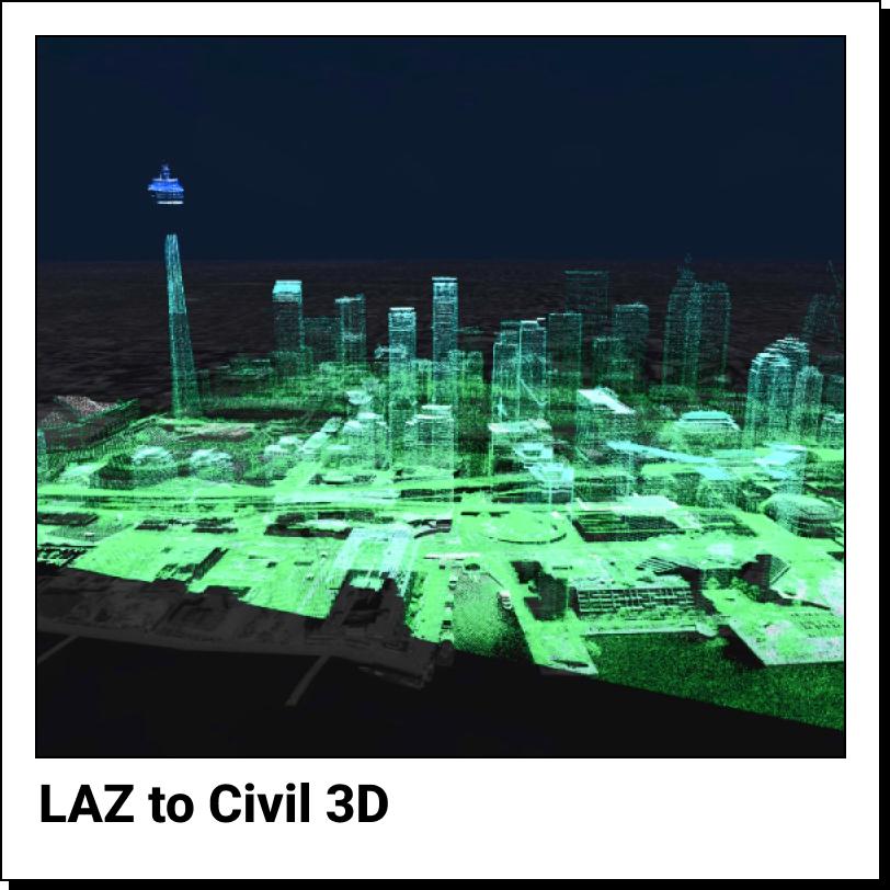
How to import a laz file to Civil 3D Currently, there is no
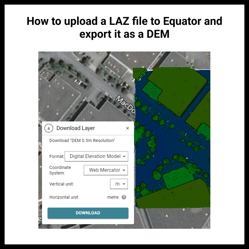
How to upload a LAZ file to Equator and export it as a
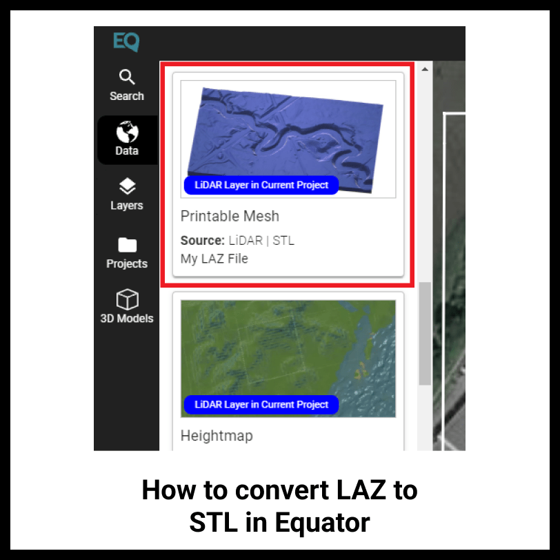
How to convert LAZ to STL in Equator Use Equator to turn your LAZ
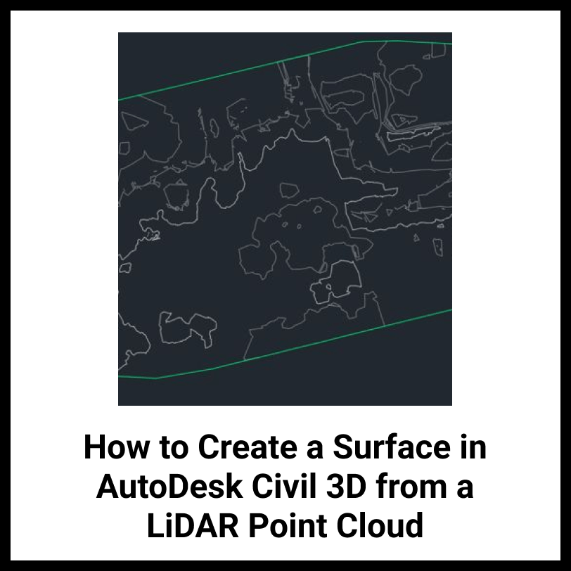
How to Create a Surface in Autodesk Civil 3D from a LiDAR Point
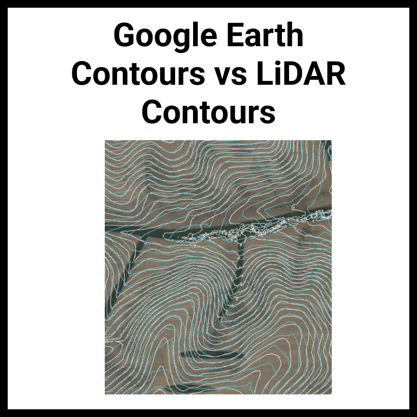
Google Earth Contours vs LiDAR Contours In this article you will learn how
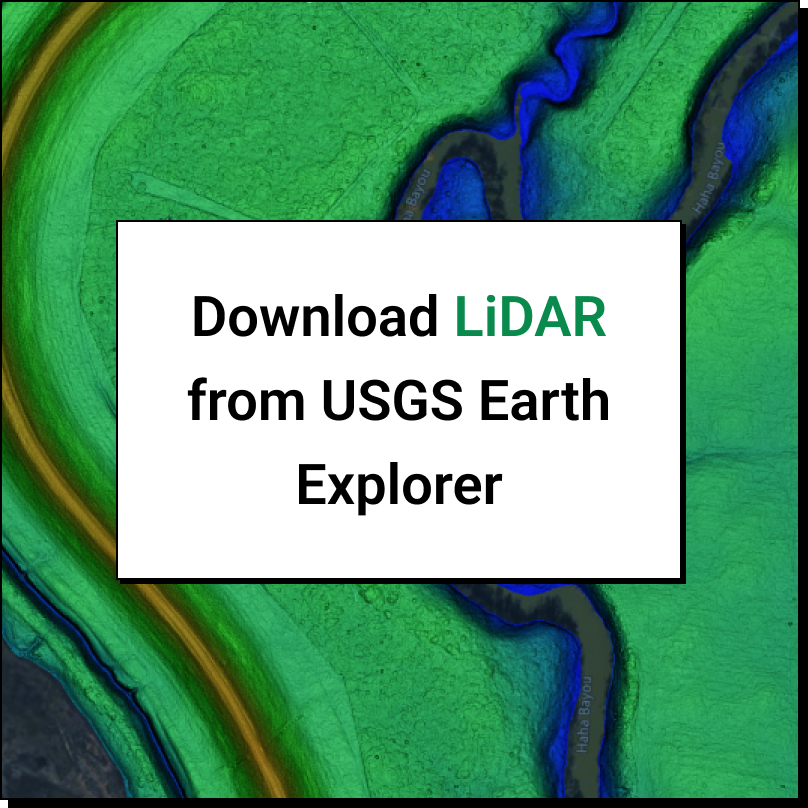
How to download LiDAR data from the USGS Earth Explorer? To download LiDAR