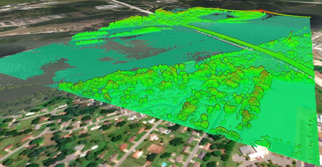
The Texas Central LiDAR Project
The Texas Central LiDAR Project was completed between January 20, 2017 and March 22, 2017. There were various stakeholders involved in this project including the Texas Water Development Board (TWDB), Texas Natural resources Information System (TNRIS), Williamson County, United States Fish and Wildlife Service (USFWS), City of Austin (COA) and the San Antonio River Authority (SARA).


LiDAR Data Accuracy
Following the completion of the LIDAR survey, AECOM was retained to perform quality assurance and quality control (QA/QC) for the project. Their complete findings are summarized in this report. A summary of tested non-vegetated vertical accuracy (NVA) and vegetated vertical accuracy (VVA) at a 95% confidence level is included in the table below.
| Location | NVA | VVA |
|---|---|---|
| San Antonio | 6.2 cm / 2.4 in | 6.5 cm / 2.6 in |
| La Grange | 11.2 cm / 4.4 in | 10.8 cm / 4.3 in |
Texas Cities/Towns covered in the LiDAR Survey
The counties covered, or partially covered, as part of the Texas Central acquisition project include:
- Austin
- Taylor
- Leander
- Cedar Park
- Round Rock
- Pflugerville
- Elgin
- Bastrop
- Smithville
- Lagrange
- Cedar Creek
- Flatonia
- Schulenburg
- San Marcos
- San Antonio
- Leon Valley


What if this LiDAR doesn’t cover my project site?
Equator includes a library of built-in USGS LiDAR data. Please visit the USGS Topographic Map page to learn more.