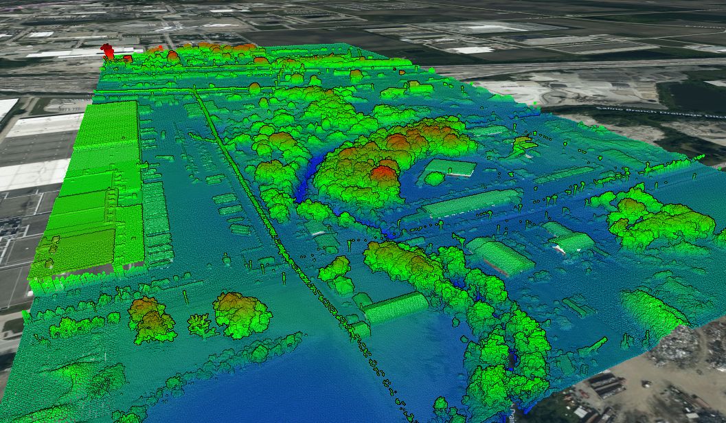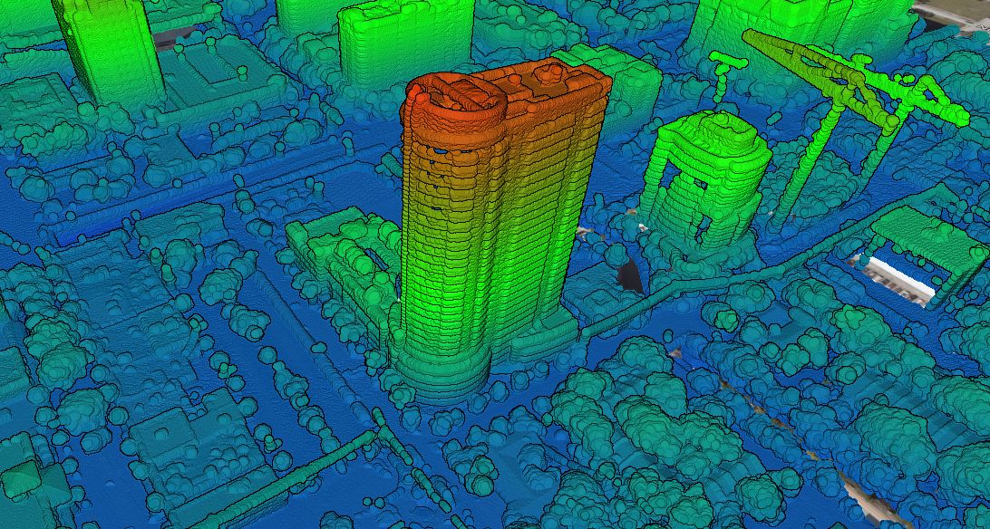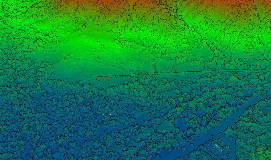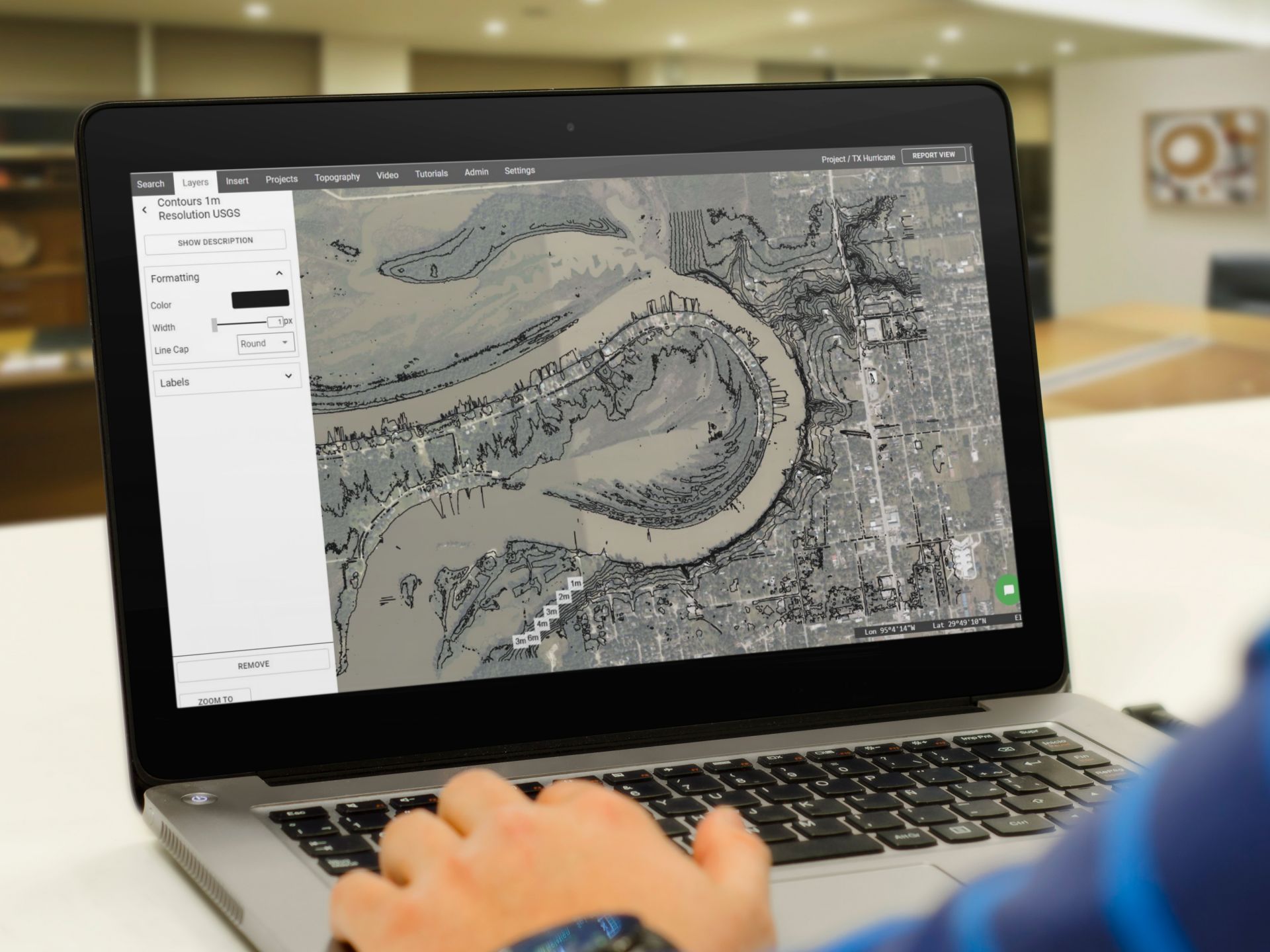
The Texas Coastal LiDAR Project
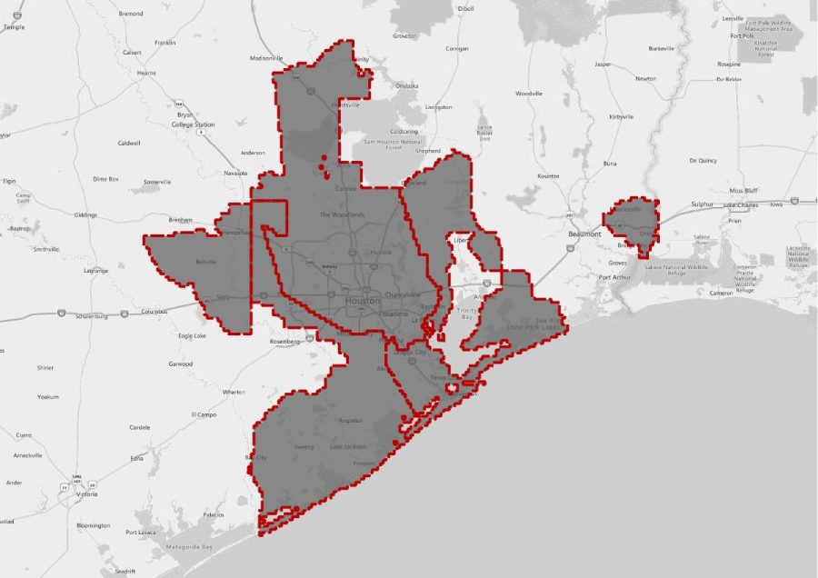
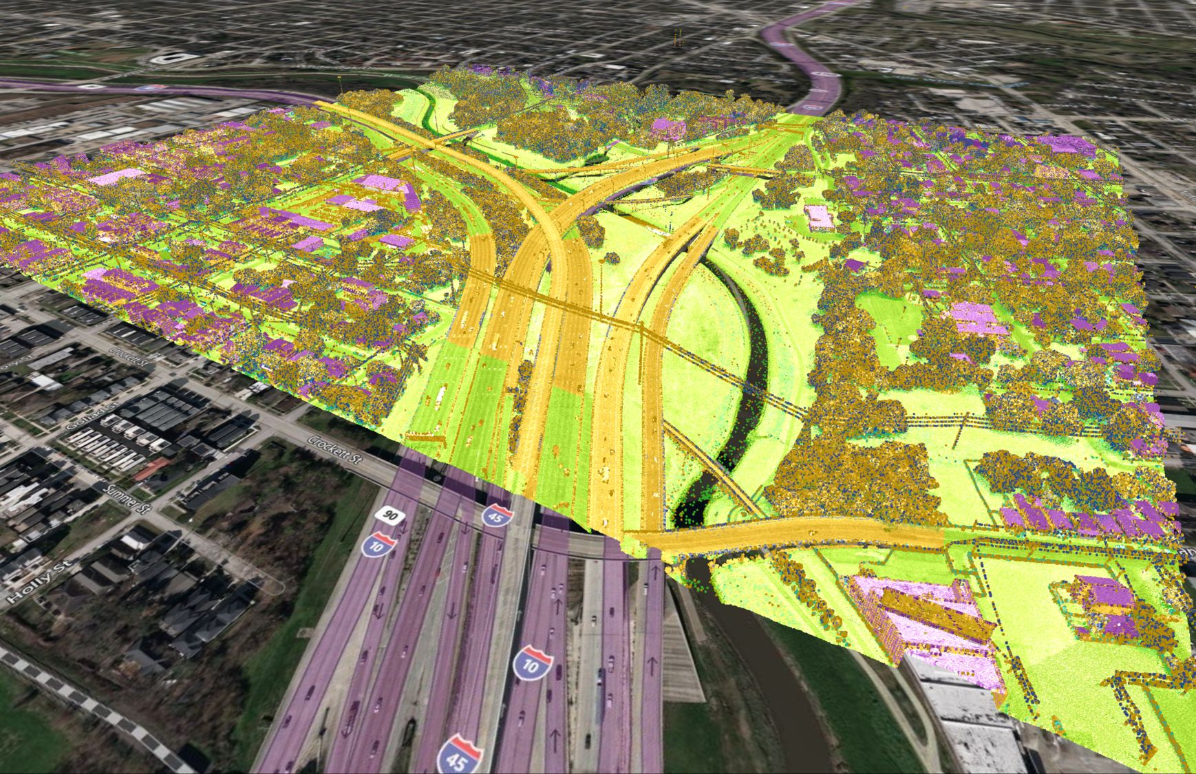
The Texas Coastal LiDAR project was completed between January 13, 2018 and June 11, 2018. This survey included Houston, as well as the surrounding areas all the way to the coastline. There were a number of stakeholders involved in this project including the Texas Natural Resources Information System (TNRIS), a part of the Texas Water Development Board (TWDB), and the Houston-Galveston Area Council (H-GAC).
LiDAR Data Collection
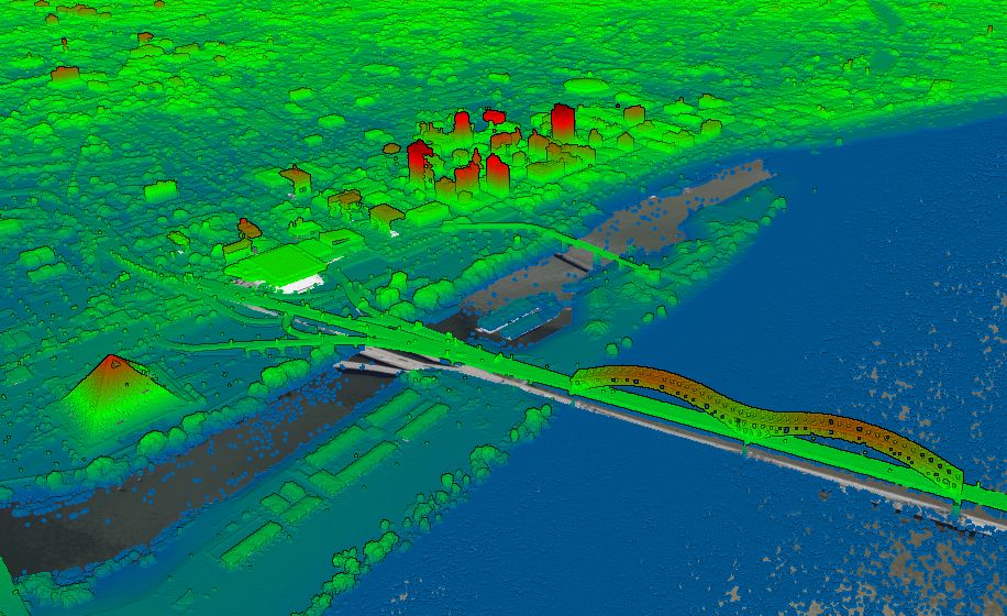
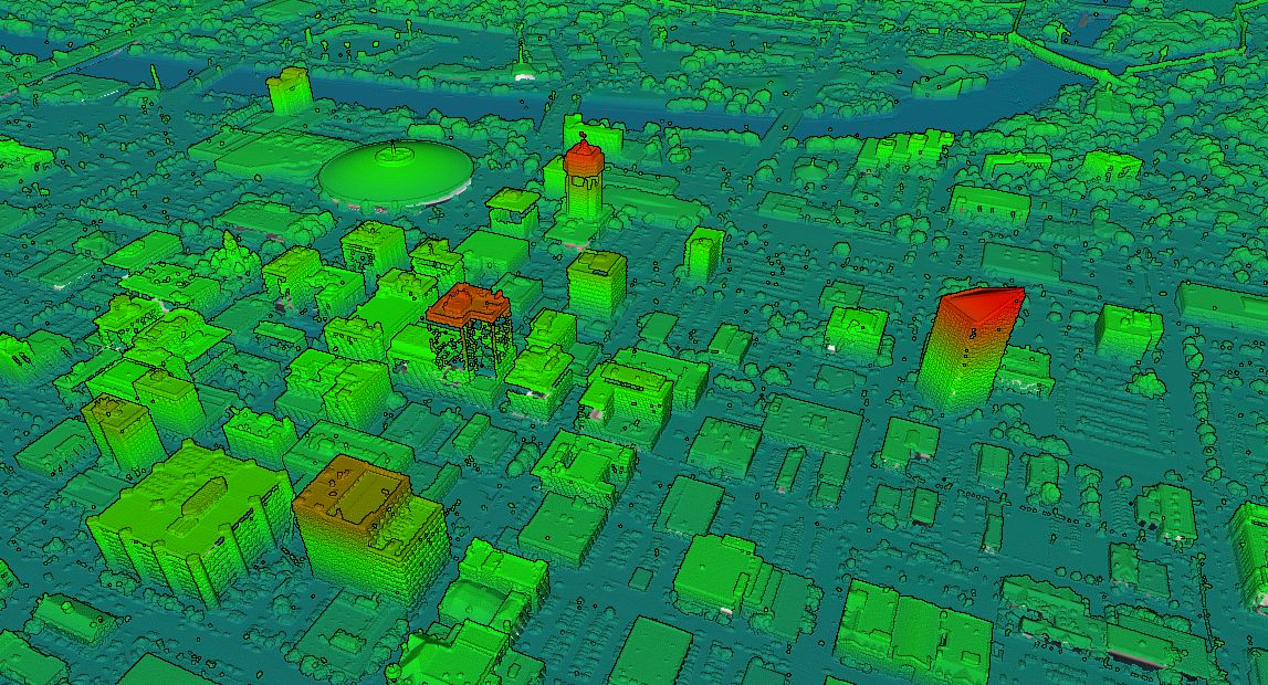
In total, around 9,163 square miles were surveyed by the aerial mapping division of Fugro. They LiDAR survey was completed to Quality Level 2 as per the USGS Lidar Base Specification 1.2.
LiDAR Data Accuracy
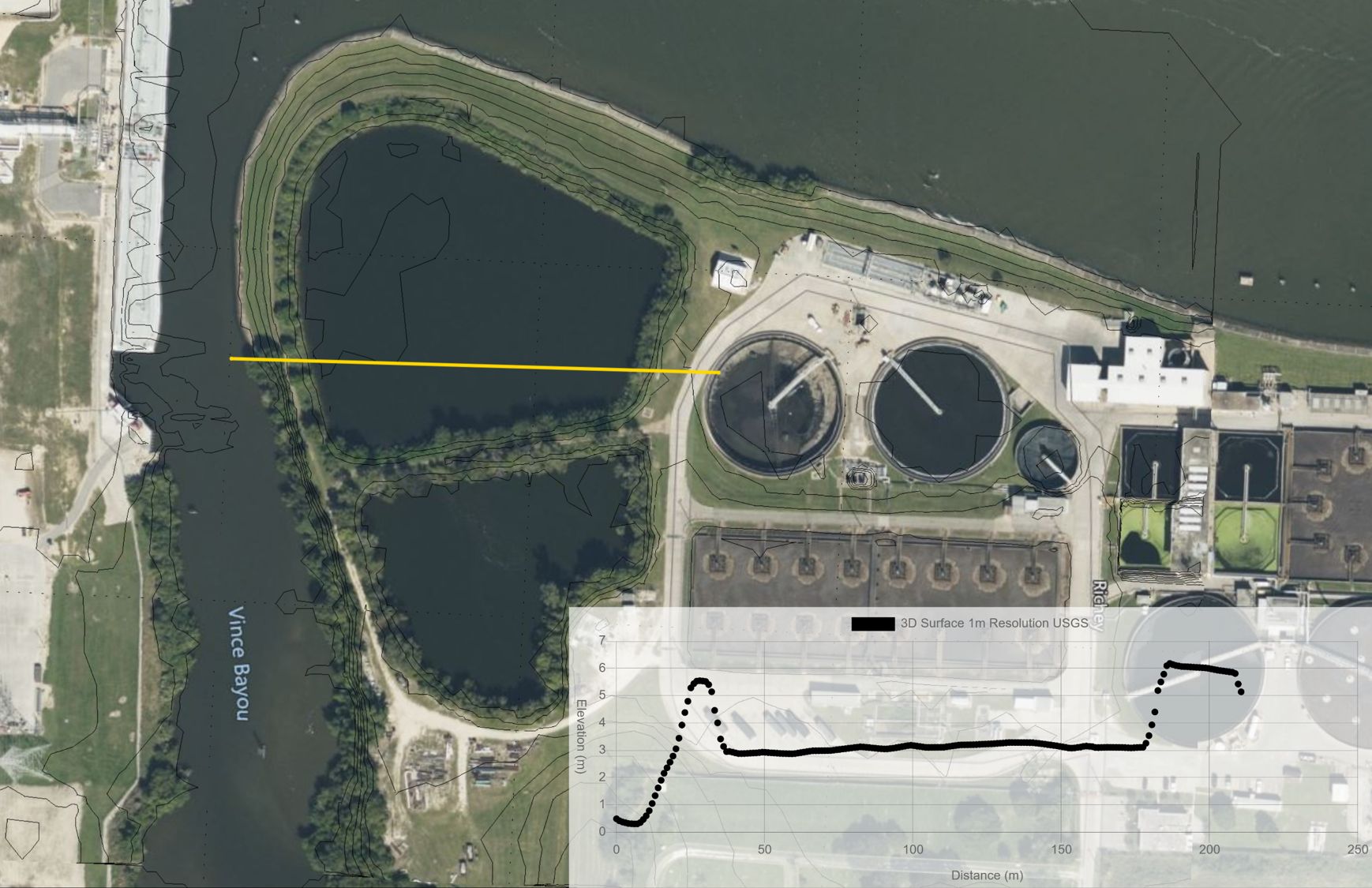
A third party (AECOM) was retained by the Texas Water Development Board to complete a quality assessment of the collected LiDAR data. They tested non-vegetated vertical accuracy (NVA) and vegetated vertical accuracy (VVA) throughout the surveyed area. Their results are published in this report. Overall, at a 95% confidence level, the NVA and VVA were found to be 9.8 cm (3.9 inches) and 11.6 cm (4.6 inches) respectively.
What if this LiDAR doesn’t cover my project site?
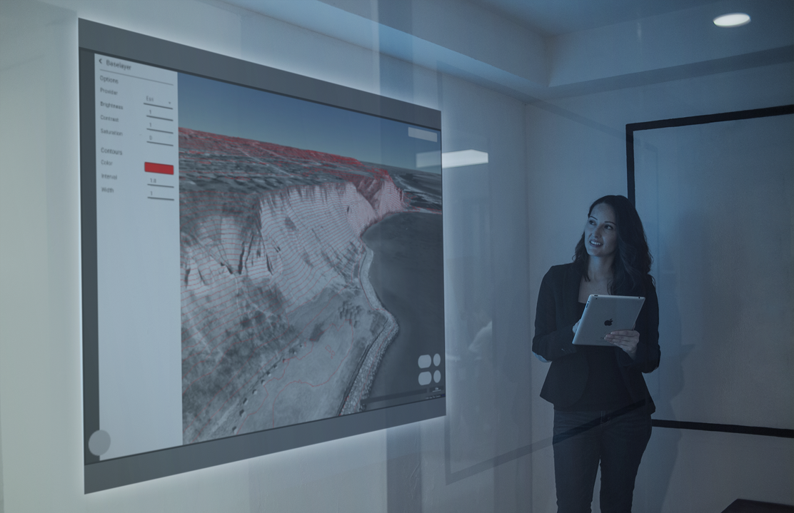
There are many other areas included in the USGS LiDAR database. Please visit USGS Topographic Map to learn more.
