Texas East LiDAR Project

The Texas East LiDAR project was completed for the Texas Water Development Board.  Access the data in Equator by clicking below.

Texas East LiDAR Map
Highway 164 Contours LiDAR

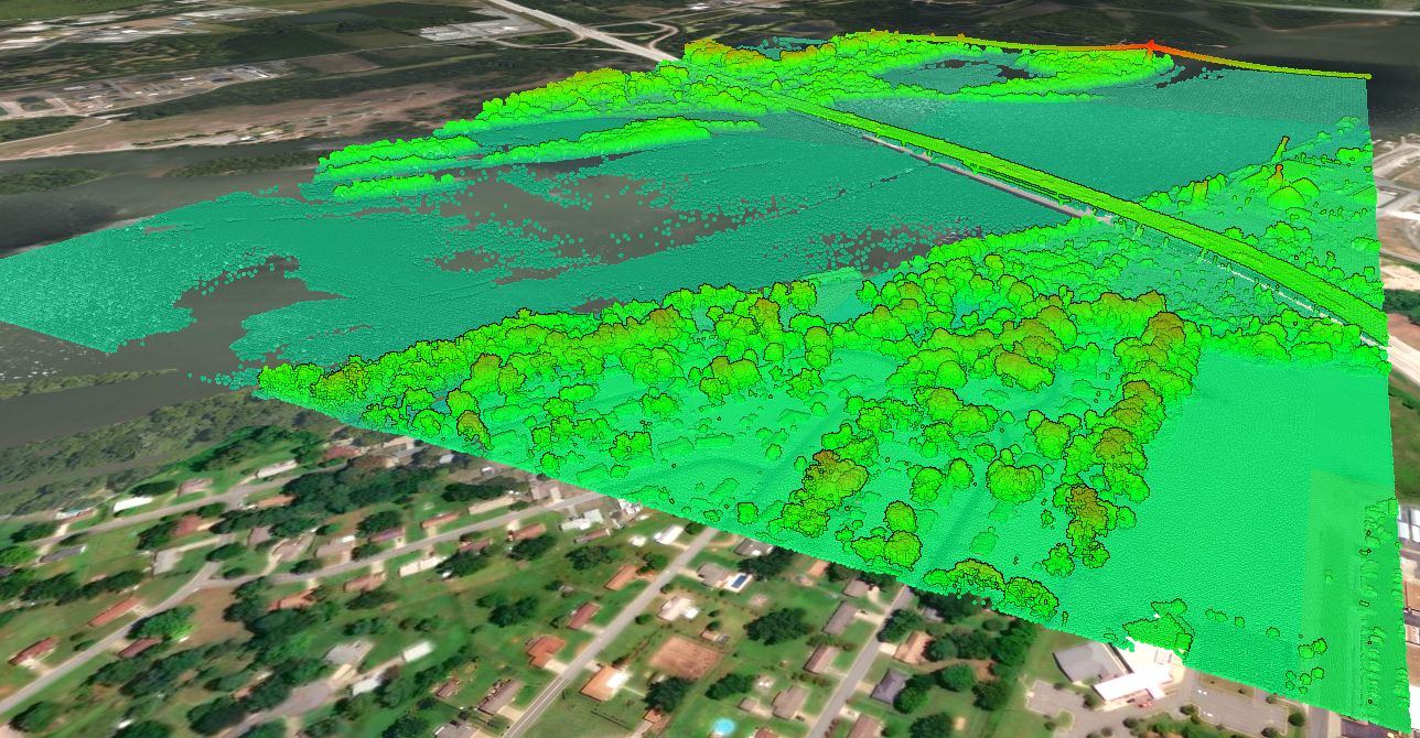
The Texas East LiDAR Project 

The LiDAR survey of Texas East was completed between December 29, 2016 and May 30, 2018.  The Texas Water Development Board requested the survey, but other stakeholders were involved including the Texas Natural Resources Information System (TNRIS) and Texas Commission of
Environmental Quality (TCEQ).

LiDAR Data Collection

The LiDAR survey was carried out by Fugro and included a total of 3,501 square miles. The major locations in the survey included Greenville and San Jacinto County. The survey was carried out to the USGS Lidar Base Specification 1.2 quality level 2.

Highway 30 LiDAR Point Cloud Greenville
Gibbons Creek Lake LiDAR Cross Section

LiDAR Data Accuracy 

AECOM was hired by the Texas Water Development Board to provide QA/QC on the collected data.  They tested non-vegetated and vegetated vertical accuracy and have reported their findings in this report.  The table below shows the vertical accuracy findings (at a 95% confidence level).

Location Non-vegetated vertical accuracy Vegetated vertical accuracy
San Jacinto 9.3 cm / 3.7 in 12.2 cm / 4.8 in
Sulphur UTM Zone 15 9.7 cm / 3.8 in 9.5 cm / 3.7 in
Sulphur UTM Zone 14 6.6 cm / 2.6 in 9.5 cm / 3.7 in

Texas Cities/Towns covered in the LiDAR Survey

The Texas East LiDAR survey covered (or partially covered) the cities and towns listed below:

  • Honey Grove
  • Sulphur Bluff
  • Sulphur Springs
  • Emory
  • Greenville
  • Campbell
  • Caddo Mills
  • Quinlan
  • West Tawakoni
  • East Tawakoni
  • Shepherd
  • Goodrich
  • New Waverly
  • Coldspring
Bridge cross section from 3D topography in Equator mapping software

What if this LiDAR doesn’t cover my project site?

Additional LiDAR data is available, provided by the USGS, in Equator.  Read more about it by accessing the USGS Topographic Map page.

Why should I use Equator to access the Texas Central LiDAR Survey?

  • Best available public LiDAR data and resolution, accessible in minutes

  • 3D mapping platform to view LiDAR point clouds, contours and surfaces on a globe

  • Export data to the right format and resolution you need for your project