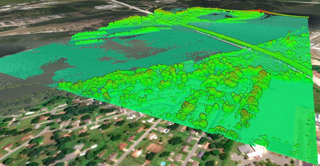
LiDAR Data Collection
Fugro was hired to carry out the airborne LiDAR survey. They used a Leica ALS80 sensor for data collection. The data was collected with an aggregate nominal pulse spacing (ANPS) of 0.71 meters. Lidar data was collected in accordance with U.S. Geological Survey National Geospatial Program Lidar Base Specification Version 1.3.


LiDAR Data Accuracy
Texas Hurricane Harvey LiDAR Acquisition project was carried out in five blocks. The calculated accuracy of each block is included in the table below.
| Block Number | Non-vegetated vertical accuracy | Vegetated vertical accuracy |
|---|---|---|
| 1 | 7.2 cm / 2.8 in | 18.9 cm / 7.4 in |
| 2 | 3.4 cm / 2.8 in | 6.6 cm / 2.6 in |
| 3 | 6.8 cm / 2.8 in | 7.5 cm / 3.0 in |
| 4 | 5.8 cm / 2.8 in | 11.3 cm / 4.4 in |
| 5 | 4.9 cm / 1.9 in | 9.2 cm / 3.6 in |
Texas Cities/Towns covered in the LiDAR Survey
The counties covered, or partially covered, as part of the Hurricane Harvey Texas LiDAR acquisition project include:
- Richmond
- Cuero
- Gonzales
- Luling
- Floresville
- New Braunfels
- Timberwood Park
- Fair Oaks Ranch
- Boerne
- Kerrville
- Lakehills
- Fredericksburg
- Marbel Falls
- Kingsland


What if this LiDAR doesn’t cover my project site?
If your site is not covered by the Hurricane Harvey LiDAR Project, please visit the USGS Topographic Map page to learn more about other data coverage, and what is available in your area.