Toronto Topographic Map
The most detailed topographic map of the City of Toronto accessible online.
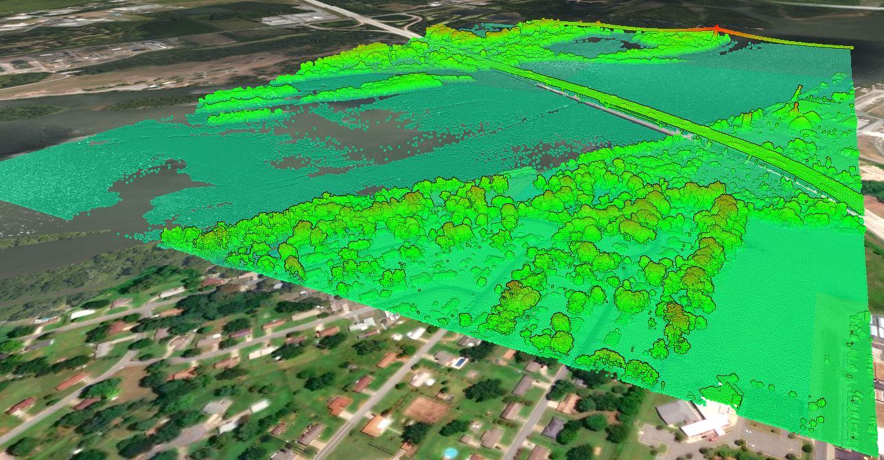
View, share and extract high-resolution topographic data using Equator.


Who is the map for?
Equator shares high-resolution topographic data to a variety of end users. Typical users include:
- Civil Engineers
- Planners
- Construction Professionals
- Landscape Designers
- Real Estate Agents
What can I do with the map?
Using Equator, you can source, view, extract or share data for the City of Toronto online. From York University grounds to midtown Toronto and more. Users are able to:
- View 3D terrain
- View contours
- View LiDAR point clouds
- Cut cross sections
- Extract contours
- Extract LiDAR point cloud
- Link share data


Where does the topographic data come from?
The data included in the Toronto topographic map, provided through Equator, comes from the publicly funded Ontario GeoHub powered by Land Information Ontario. This dataset is a compilation of lidar data from multiple acquisition projects carried out on behalf of the Province of Ontario, between 2014 and 2018 in the City of Toronto.
How accurate is the map?
In the Greater Toronto Area (GTA), the LiDAR data was acquired with a specified vertical accuracy class of 10 cm. The collected accuracy varies based on actual ground conditions like tree cover, depressions, obstructions, buildings, and so on. In best conditions, like in a wide open field, or along a roadway, you can expect the vertical accuracy to be in the range of 10 cm. You can read more about the source data here.


How do I bring contours into Civil 3D?
There is a variety of ways to bring the Toronto data into Civil 3D, depending on the data format and preferred process. Here is a tutorial that describes how to create a surface directly from a shapefile.

Why should I use Equator to access Toronto topography?
Equator is the only online mapping platform that allows you to access Toronto LiDAR topography to the best available data resolution. Equator leverages the latest and greatest technology from the gaming world to share LiDAR topographic maps and elevation maps unlike ever before.