Topographic Surveying
EquatorStudios | January 11, 2022
1,721 words | 10 min read
Navigating Earth
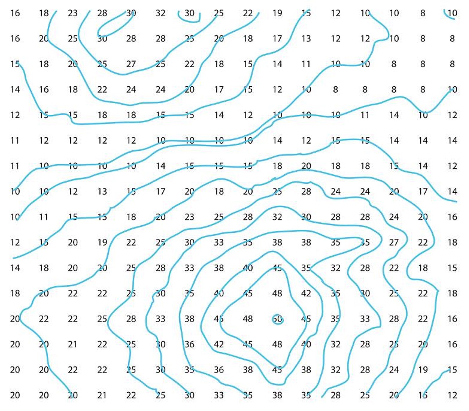
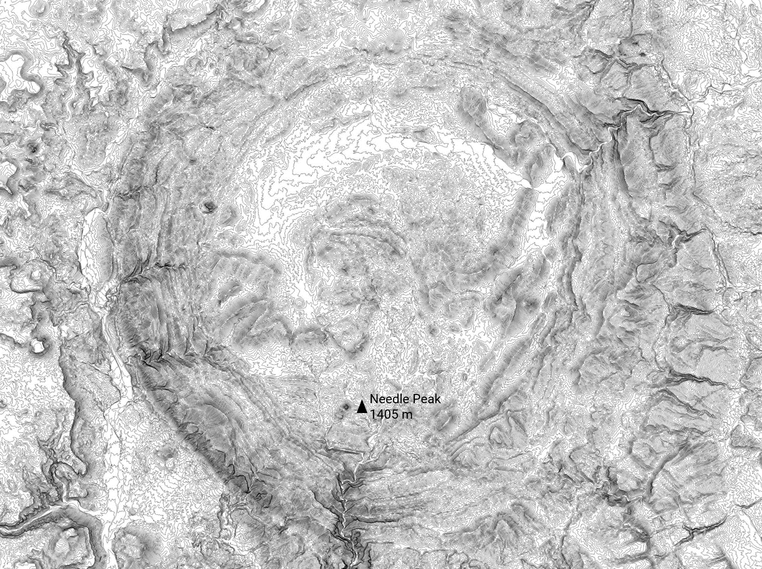
Our planet is a fascinating place—full of peaks, valleys, natural habitats, and man-made features. When navigating Earth’s diverse terrain, topographic maps and their data provides a plethora of information.
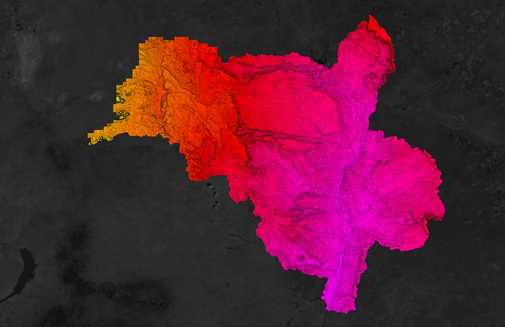
Presenting us with a detailed overview of a landscape, topographic data outlines elements such as contours of terrain and projects land features such as: water bodies, routes, hilltops, vegetation, and other observable information. In order to acquire this rich data, we must first conduct various topographic surveys.

What are Topographic Surveys?
A topographic survey is very much in the name: a field reconnaissance identifying features of the topography of any given area. It can be extremely detailed or limited solely to general rectification, differing on a case by case basis. Aside from mapping, the main use of topographic surveys is identifying your location along with your surroundings, regardless of the purpose. For instance, as a surveyor conducts a cross section survey of a river for a bridge emplacement, they are – via their pre-engineered grid – relating an exact detail of what exists within the boundaries of their area of interest. This information, when conveyed to designers and engineers concerned with the project, can be used to determine if any potential issues or circumstances may result from the design installation as planned, identify them, as well as offer opportunity for review and/or modification. Various topographical surveys can include many analogue and digital acquisition sources, in which the equipment used to perform any topographical survey will fall into specific categories in accordance to the end needs of the user.
Types of Topographic Survey

Geodetic Surveys
Geodetic Surveys fall under both the land and water categories (as it also maps out the shoreline). Geodetic positions can be acquired easily using modern GNSS surveying techniques that provide precise coordination of any point for the purposes of topographic surveying and mapping. As this method of a topographical survey is able to establish such precise locations, geodetic surveys become a source for plane or planimetric surveys that can begin the accumulation of localized data.

Plane Survey
An excellent method for capturing data, under the right conditions. Satellites require connectivity – a direct line of site in order to function properly. Under a heavy canopy of forest or congested reflective areas, satellite signal recognition can be poor and unable to meet operational criteria. Theodolites and other optical equipment operate fine in forests and other congested areas, and while intervisibility is still required, satellite signals are not used to compute positions. In any case, modern navigation systems have become so potent and simplified, they can be considered from amongst the principal survey equipments in a topographical survey.

Airborne Survey
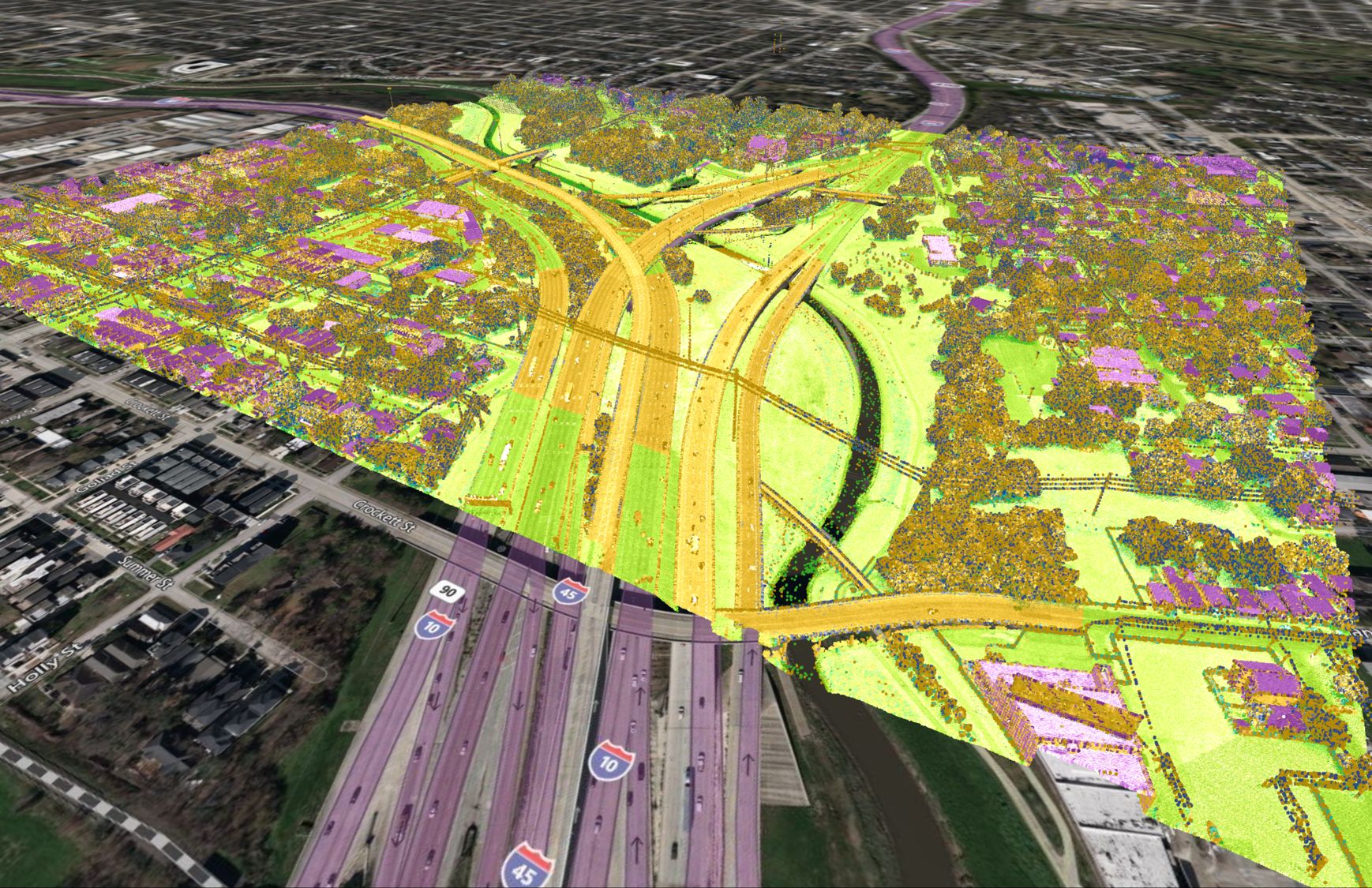
Aerial surveys for topographic mapping have been around for quite a while. Once upon a time, balloons would provide a surveyor a platform to easily note data for further ground work. Today we use more advanced technology, such as drones, planes, and satellites, which can provide vast detail with specific precision. Airborne surveys by helicopters, airplanes, and drones, can be conducted using LIDAR and stereographic digitization to render a 3D surface of topography. These systems are very effective at covering large areas but can be costly. Less densified surveys can be more cost efficiently acquired with less specialized equipment.

Construction Surveys
One of the largest and continually rapidly growing areas of land surveying is in the construction industry. As relates to engineering, it can involve precise topographic detailing, particularly in construction projects, when both erecting and evaluating existing infrastructure. Construction surveys compile large amounts of topographic information in a very localized setting, and makes it an asset in a construction or development project.
Legal Boundary Survey
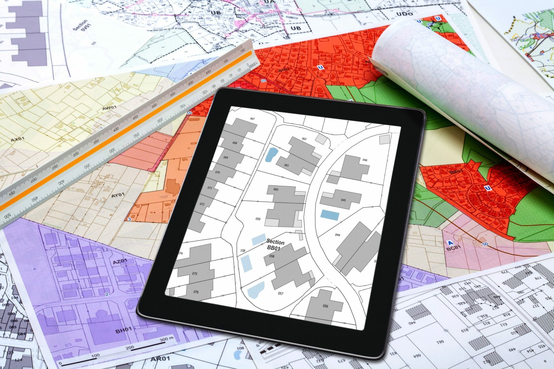
These surveys also provide vast information on localized areas. Generally, topographic surveys are conducted when establishing new building locations and other land development, where property information is projected onto a map. This property information is attained by means of route and legal boundary surveys, and enables a much greater understanding of the land in question.

Hydrographic Survey
Although it may seem counter-intuitive, land surveyors can also be responsible for performing hydrographic surveys for local water bodies. From the hydrographic point of view, a topographic survey consists of a series of tasks carried out with the aim of determining the composition of those parts of the earth’s surface which are encased in water.
Importance of Topographical Surveys
The importance of topographical surveying is clear: without a visual depiction of topographic information, we lack the ability to identify our position and orientation. This visual – often in the form of a map – is enabled by means of topographical surveying. Daily, we look to our smart phones and other devices to geo-reference a point of interest somewhere, whether with an exact address or by pure speculation. All of this information is geo-referenced and rooted to a topographic database of information accumulated over time, through numerous topographic surveys.
Knowing the topography of surroundings is of great use for estimating costs related to projects of construction, resource exploration, forestry, farming, civil design and other such developments.
Furthermore, a land survey can help to rectify any potential errors in larger scaled surveys. Imagine independent local topographic surveys around towns A & B. These surveys begin from different origins and – once they meet halfway between – errors in coinciding positions are found. Localized surveys can further help to determine error propagation procedures.
How to Perform a Topographic Survey
A basic topographic survey begins by either establishing a source or locating a pre-established geodetic co-ordinated survey marker. These marker positions hold details of position co-ordinates and vertical information. From there, a topographic survey can begin and by using a number of many methods to acquire topographic data in terms of ground elevation and what we refer to as horizontal position. That is on the ground surface. These same positions can be translocated both above the ground or below, depending on the type of survey being conducted.
Types of Topographic Hardware

Plane Table Transit
Though rarely used anymore the plane table transit was a useful tool for close detail work. The instrument required placement on a mapping or planning table in the field where the work was being conducted and employed a straight edge and level to map the local data. It was a cumbersome apparatus, which lost lustre to the modern theodolite.

Automatic Level
The most precise method of acquiring and transferring vertical information between known vertical control positions – ‘benchmarks’ – and local areas for topographic survey use. Horizontal precision is limited but automatic internal calibration and compensation allow modern automatic levels to measure sub-millimetre vertical values.

Ranging Rod
A pole or tablet unit, possessing increments with which to measure height above any given point. These poles can be affixed with many utility devices for acquiring remote measurements. Commonly used in conjunction with theodolites, Electronic Distance Measuring (EDM) equipment and total stations as sighting units for horizontal and vertical angles.

Theodolite
Theodolites have been around for decades and are graduated from simple, to high precision instrumentation. They can measure vertical and horizontal angles precisely down to fractions of arc seconds (circular) which can be used in geometric and trigonometric calculations.

Tape Measure
Commonly referred to as a chain due to historical reference. Made of high element low coefficient steel to avoid shrinkage or expansion. It is graduated in either metric or imperial measure. They are sometimes made from fibreglass or even flexible pressed steel, though less precise.
Survey Software
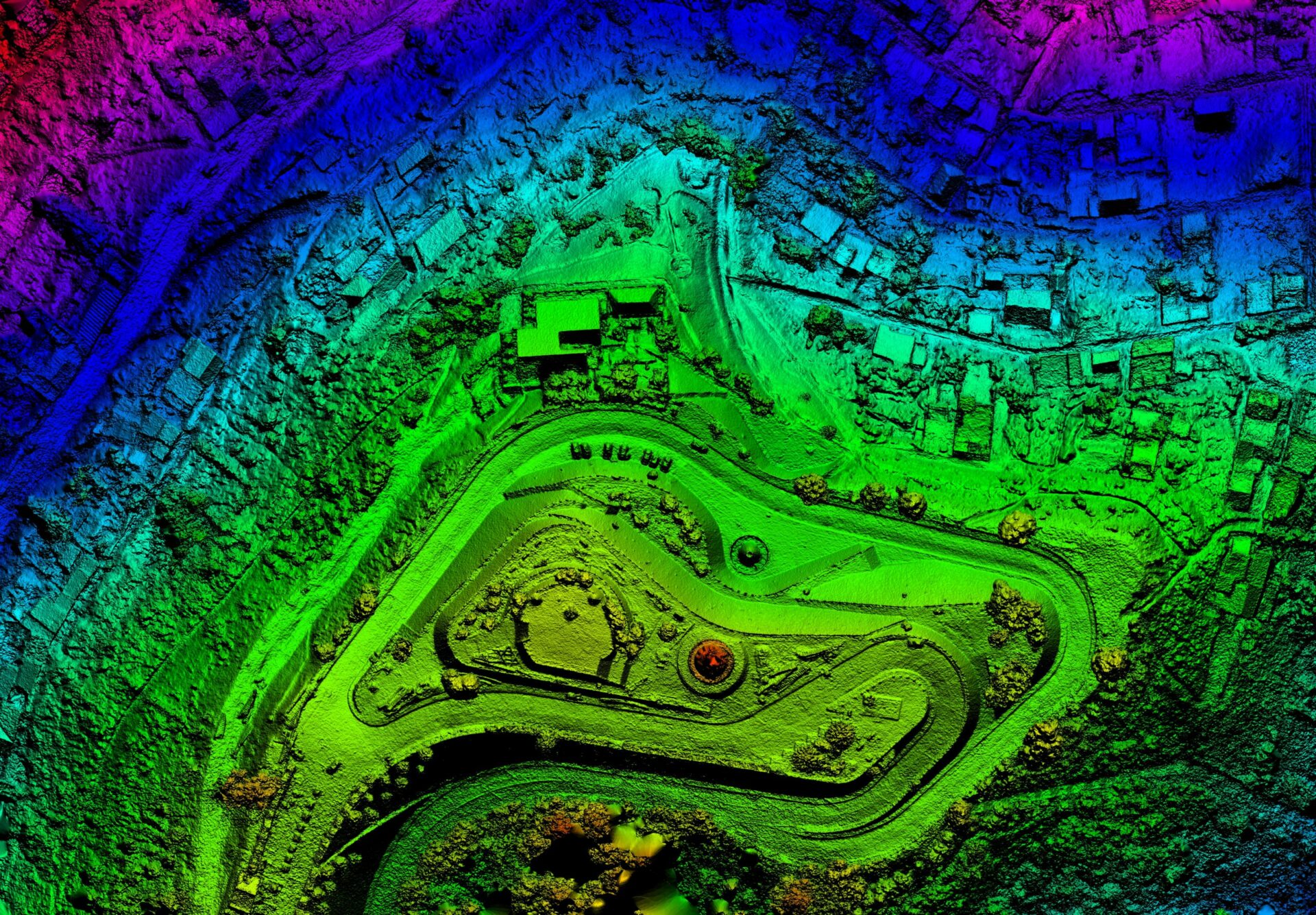
Used for survey preparation, collection, and post-processing of acquired data. Most packages will produce final data in many formats for use with other propitiatory software and general use software applications. There are numerous software packages that can be used to manage the data in a mapping or GIS scenario, allowing for the transfer of larger amounts of data automatically.

GPS/RTK GNSS
The GPS and GNSS satellite systems have made surveying for almost any purpose more simplified than ever. They can provide position accuracy down to the millimetric level. The systems are based on satellites in orbit which broadcast positional information to any capable receiver which can translate that data to geographic or projection values on any mapping surface.

Drones
Drone surveying has become popular as of late, with manufacturing trends pushing it to the forefront in some applications. Positions are achieved with onboard GNSS systems for precise navigation while collecting topographic data from above using any of the more common methods of areal surveying. Currently the only limitations are power and how long a unit can stay in flight.

LiDAR Plane
Numerous companies equip aircraft with survey specific devices that can capture topographic profiles from above with specific levels of precision. They too, can acquire high precision GNSS positions using methods to achieve high performance. Using this from of aircraft is more expensive than that of drone surveying, however, larger projects with time constraints will often dictate usage.

Total Station
These are modern electronic digital theodolites with onboard hardware and software that allows for measurements and calculations to take place internally. Simply, they are considered to be a little more efficient. Robotic total stations are the next step beyond a total station as they are programable to enable robotic interface with varied equipment.
Examples of Topographic Surveys
Typical topographic surveys, depending on their usage, are run on a grid with a predetermined separation of data nodes. Generally, it is preferable to use existing access to areas with vegetation, however, a grid layout is most desirable to begin. Orientation is not of great importance so long as a geometric figure is produced.
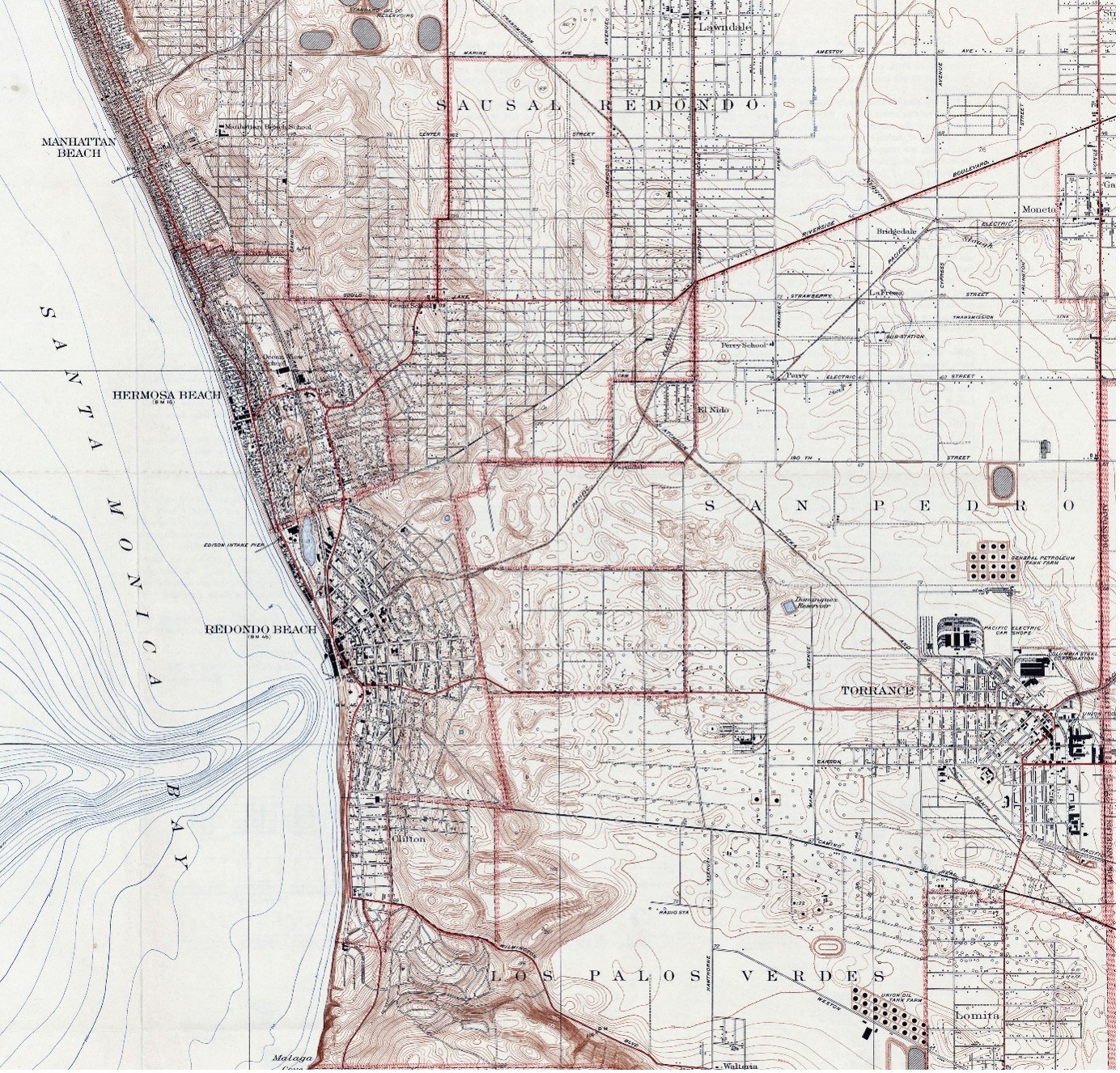
Topographic Map of Redondo Beach California showing contours, roads, railway, and depictions of residential areas and the coastline too (Source: edrnet.com)
